Park Info
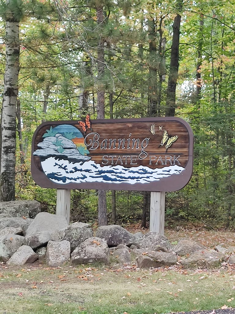
Banning State Park is located near Sandstone, MN. It is a beautiful park with plenty to see and do. It has a park office, interpretive exhibit, occasional naturalist program, historic site (the quarry that the park is named for), and a gift shop. When it comes to recreation, the park offers a picnic area, hiking, cross-country skiing, snowshoeing, rock climbing, river fishing, boat access, and canoe/kayak access. There is also access to the William Munger Trail for biking and snowmobiling.
If you’re looking to hike, there are 17 miles to explore. One-tenth of a mile is wheelchair accessible (not sure why it is even counted at that point). While there are a lot of trails to check out, the more popular ones include Quarry Loop Trail, Wolf Creek Trail, Skunk Cabbage Trail, and Big Spring Falls Trail. As of August 11, 2023, Big Spring Falls and Skunk Cabbage Trail are closed. Both of which is a bummer because they were areas I wanted to see. Hopefully, they’ll be open in the coming season.
Paddling here is for more experienced individuals. The rapids range from Class III to Class V, so keep that in mind if you want to hit the river. With rapid names like Blueberry Slide, Mother’s Delight, Dragon’s Tooth, and Hell’s Gate, the conditions shouldn’t come as much of a shock. Personally, I am nowhere near ready for the whitewater conditions, but I would like to experience it, so I’ll have to practice and get stronger.
In the winter, cross-country skiing and snowshoeing have no groomed areas. There are 13 miles available for skiing and snowshoes are allowed anywhere in the park. You could probably hike some of the trails in the snow, if you’d like, just be prepared. I used to hike in winter and was definitely underprepared a time or two and suffered with my consequences.
If you want to camp here, you have some options. There are drive-in, electric, RV, canoe-in, group camp, and camper cabins available between Banning Campground and Willow River Campground. There is maintenance and closure of some areas currently due to storm damage, so make sure you check the site out before going out and/or making reservations.
All of this info came from the Minnesota Department of Natural Resources website, so credit where credit is due. Click here to view the original source.
Accessibility of Facility
Parking was non-existent at the park office, so when I stopped there for my stamp I just pulled over on the side of the road. At the trail head area, there is a gravel lot with handicapped spaces.
Bathrooms were located in the picnic area and boat landing. Both areas had vault toilets. I used the one at the boat landing and it was large enough for mobility devices. They were clean enough, but there was a big cobweb with a spider living in it right next to the toilet paper and grab bar. There was a porta-potty near the park entrance that I used. It was a standard facility and I had to wipe it down with hand sanitizer because someone decided to pee on the seat, down the front and on the floor. Don’t be that person! Clean up after yourself.
Getting to the trails was a little confusing at first, but I figured it out. None of the signs specifically said, ‘Trails this way’, so I went to the picnic area. They were marked with signs and maps. I was also confused by some of the trails in general, but more on that later.
Trail Info
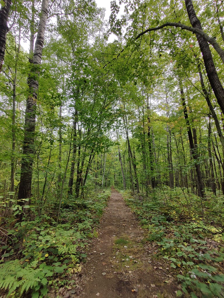
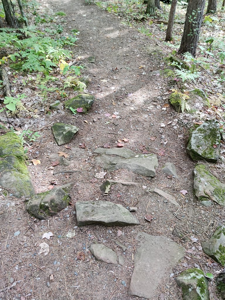
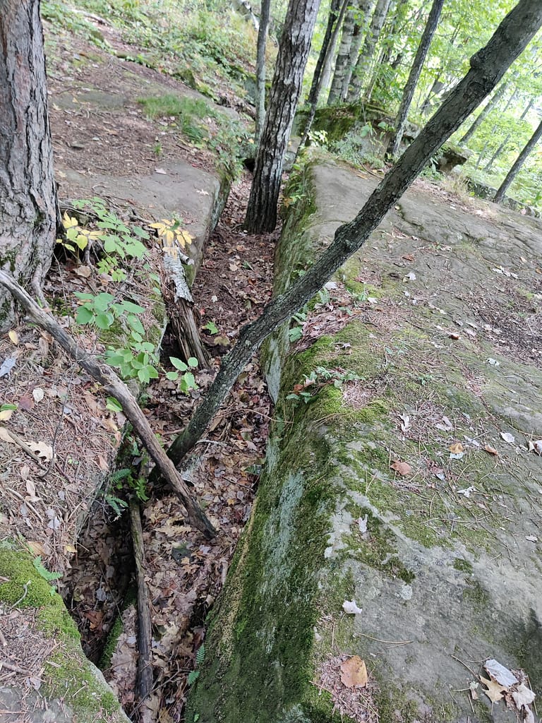
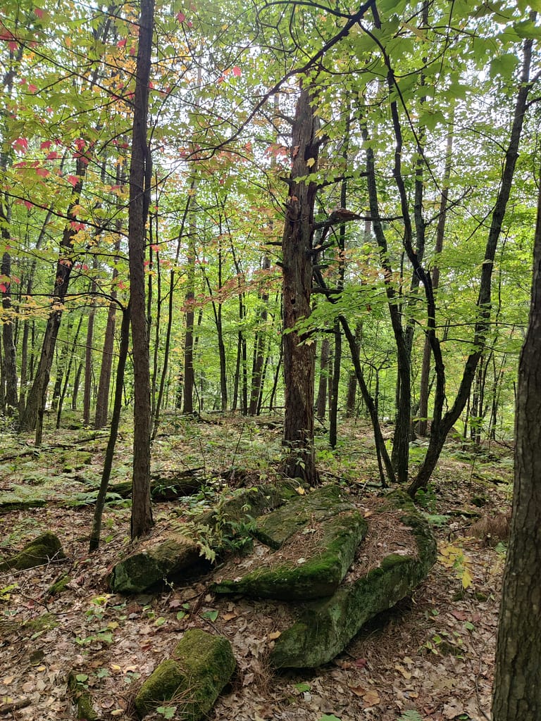
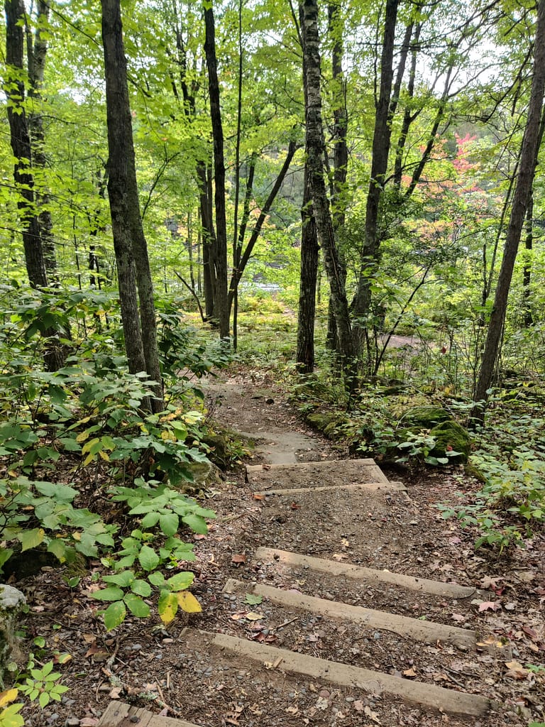
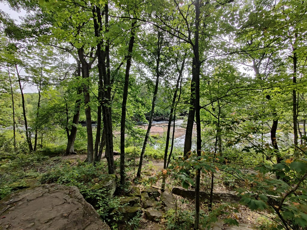
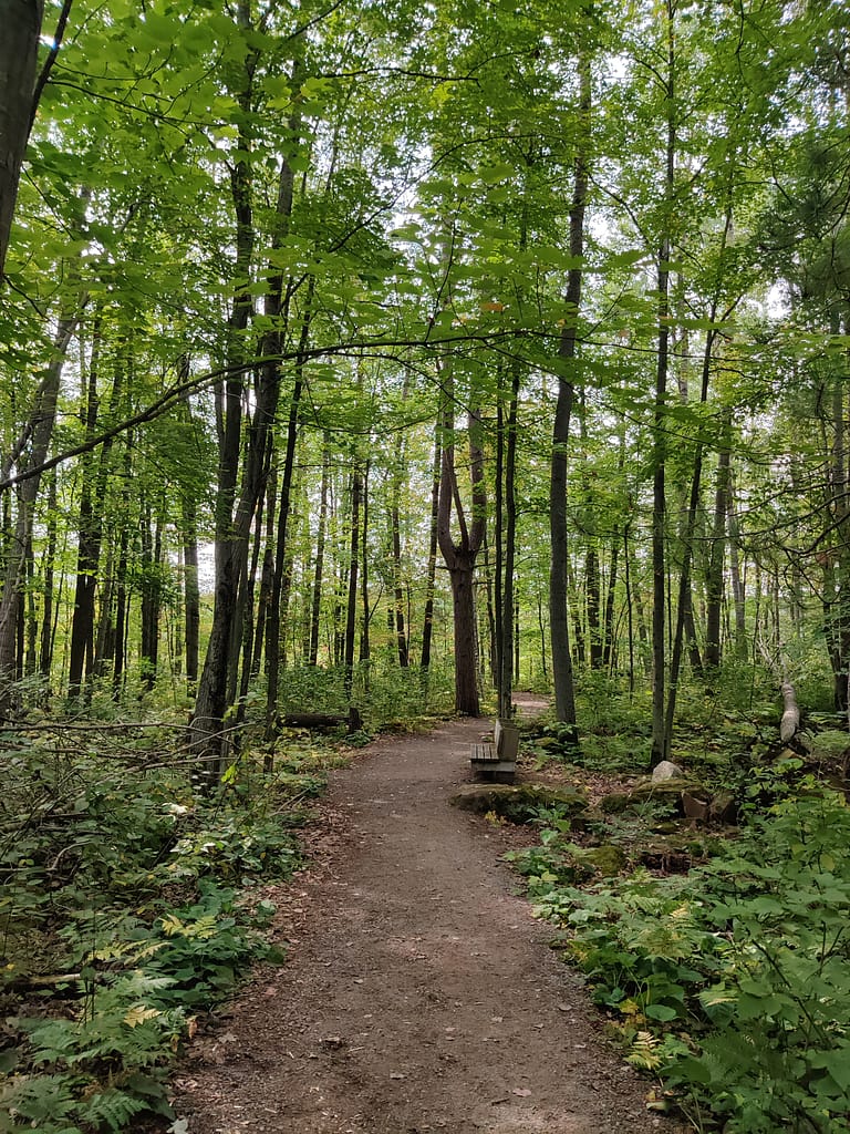
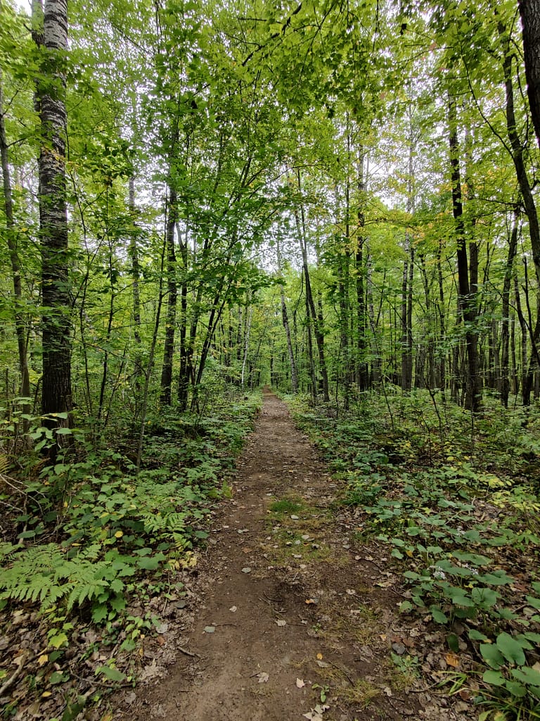
I intended on going to the Quarry Loop Trail, but ended up going to a different area instead. I started by going to the Teacher Lookout, took the trail nearby, and wandered around for a while. The way things were labeled was weird because the trail I was on was labeled as MCC, Blueberry Slide, and also seemed to be part of the Quarry Loop according to AllTrails. Needless to say, the confusion was real. This part of the trail (from Teacher Lookout to the boat landing) was dirt, with roots, rocks, and inclines to tackle. I did go down (and back up) the stairs to get to Kettle River. It does turn paved once you get to the boat landing area.
After going to the boat landing, I went back to the trailhead and decided to take the Skunk Cabbage Loop despite the bridge being closed, just to check it out. The beginning of the Skunk Cabbage Loop is dirt and fairly flat, but it meets up with the pavement and goes downhill to the river, then starts up again with a wooded trail at the bottom. I didn’t go down the wooded portion since I was already starting to fatigue from my earlier excursion. Going back up the hill was tough, per my usual. I left shortly after.
This was a very busy park, partly because of the popularity of the quarry and partly because it was Free Parks Day (September 9th) in Minnesota. I debated on whether or not to go but ultimately decided to. I would like to go back another time, likely during the week when it will be less busy.
As for my rating, I would classify what I did as moderate, mostly due to distance and the inclines. The terrain itself wasn’t difficult, overall, so if you are steady on your feet, and rocks and roots don’t bother you the trails could be for you.
Do you spy Currently Unnamed CardyBear? If you spot him, put FOUND in the comments 😊
Be safe out there! REMEMBER YOUR MAPS AND PASSPORT STAMPS!! Seeyalaterbye <3
Also, if you feel called to help a sista out with her travels, check this out!