Park Info
Carley State Park is located in Plainview, MN and is named after James A, Carley, who was a senator for 36 years, a teacher, lawyer, farmer, businessman, and mayor. This park is known for its beauty and quiet. I’ve seen pictures of the wildflowers here and they are quite beautiful, so they’re worth checking out and appreciating.
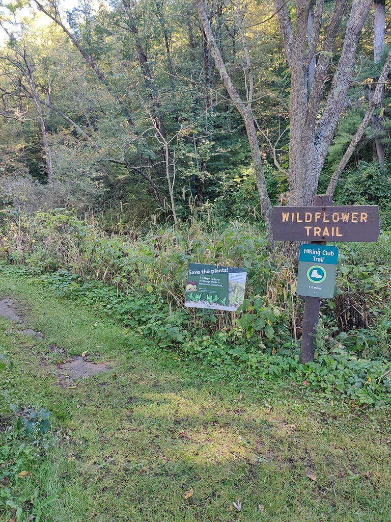
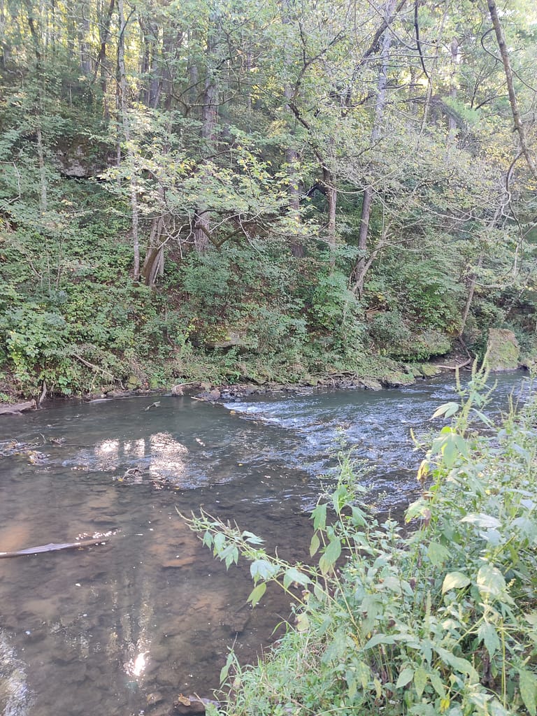
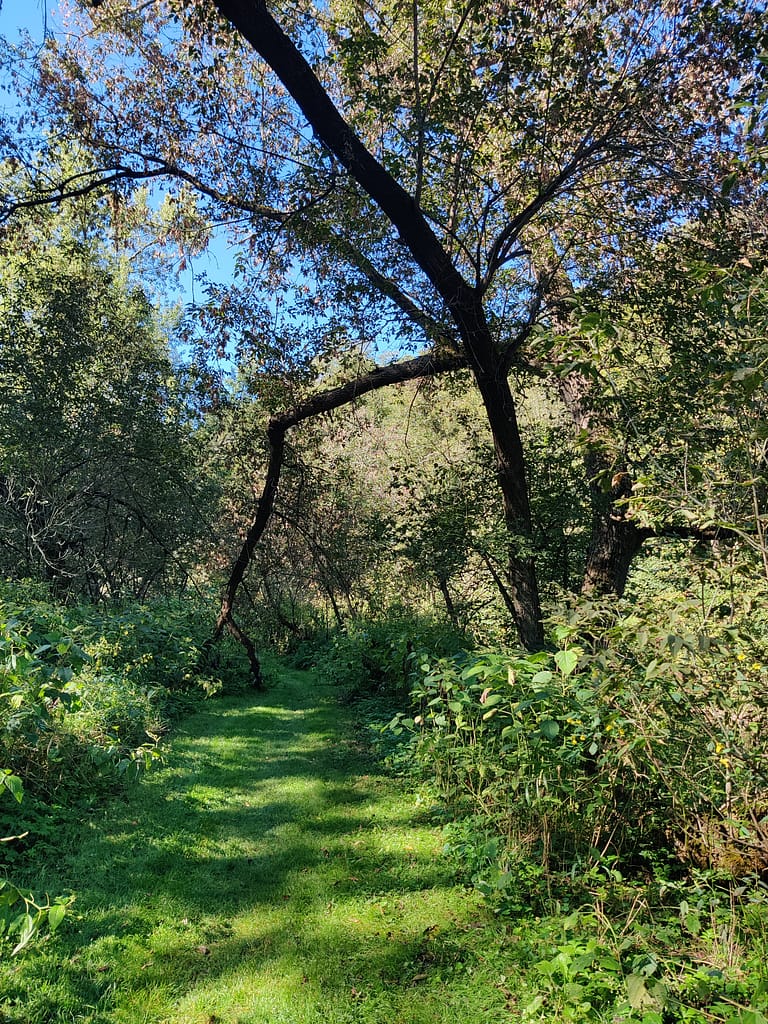
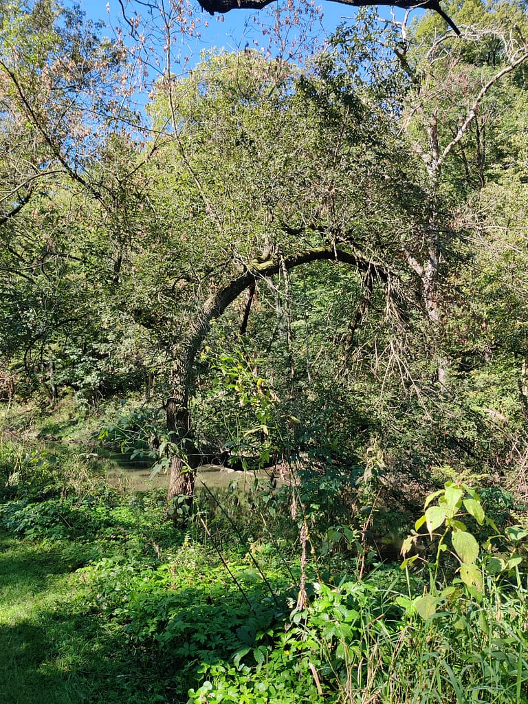
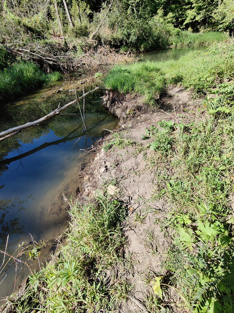
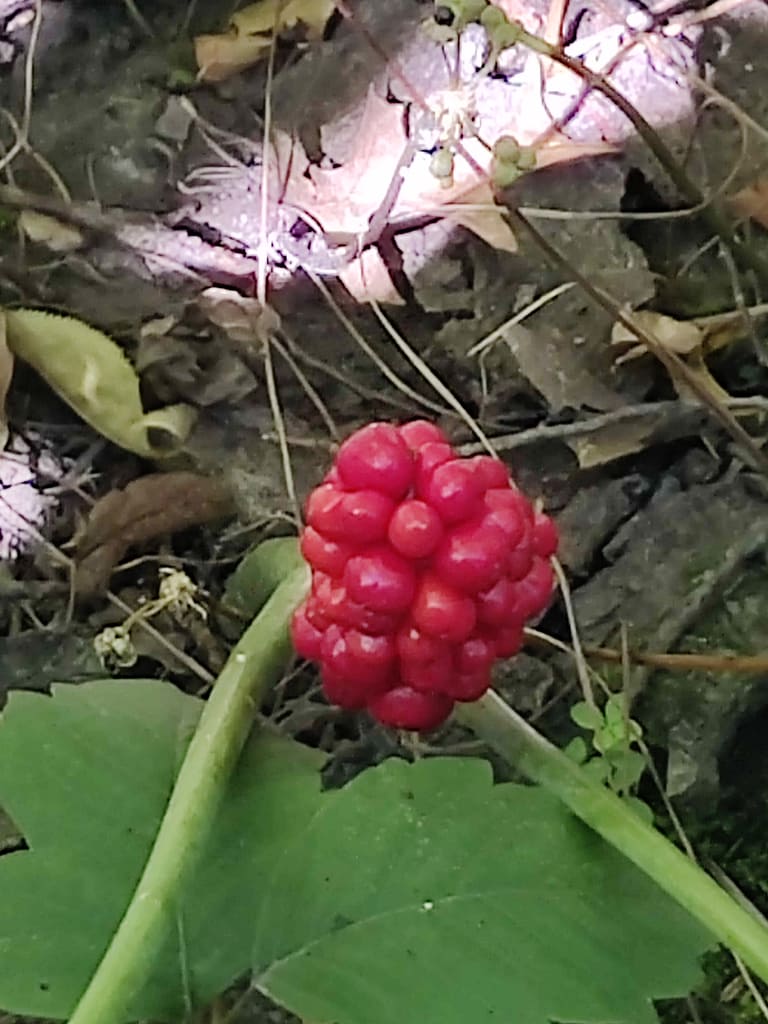
Speaking of wildflowers…the viewing is said to be excellent along the five miles of hiking trail. The trail passes along the Whitewater River, so you’ll see water here too. You can also cross country ski on two miles of ungroomed trails and snowshoe anywhere in the park.
Camping here is said to be secluded and wooded, so if that’s what you’re looking for there are 20 sites to choose from. There are two group camp sites if you’re going with a larger group. Vaulted toilets are available for use here.
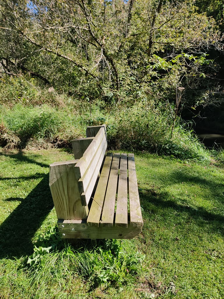
If you’re just looking to hang out in the outdoors without all of the activities above, Carley State Park also offers a picnic area, playground, picnic shelter, and horseshoes. The park office isn’t onsite; it’s located at Whitewater State Park.
All of this info came from the Minnesota Department of Natural Resources website, so credit where credit is due. Click here to view the original source.


Accessibility of Facility
Parking
There are a couple of parking areas here and both are on a gravel pad. There is a small one at a trailhead just down from the entrance and a large one at the picnic area. If you’re doing this trail, do yourself a favor and park in the picnic area….I didn’t and it was a haul to get back.
Bathrooms
There are vault toilets in the picnic area.
Getting to the trail
This trail is a loop, so you can start on either end of the picnic area. I started to the left, near the river. It was tricky for me to find, but I followed the AllTrails map and got there eventually.
Trail Info
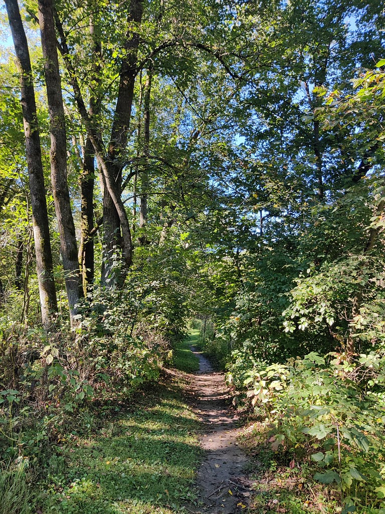
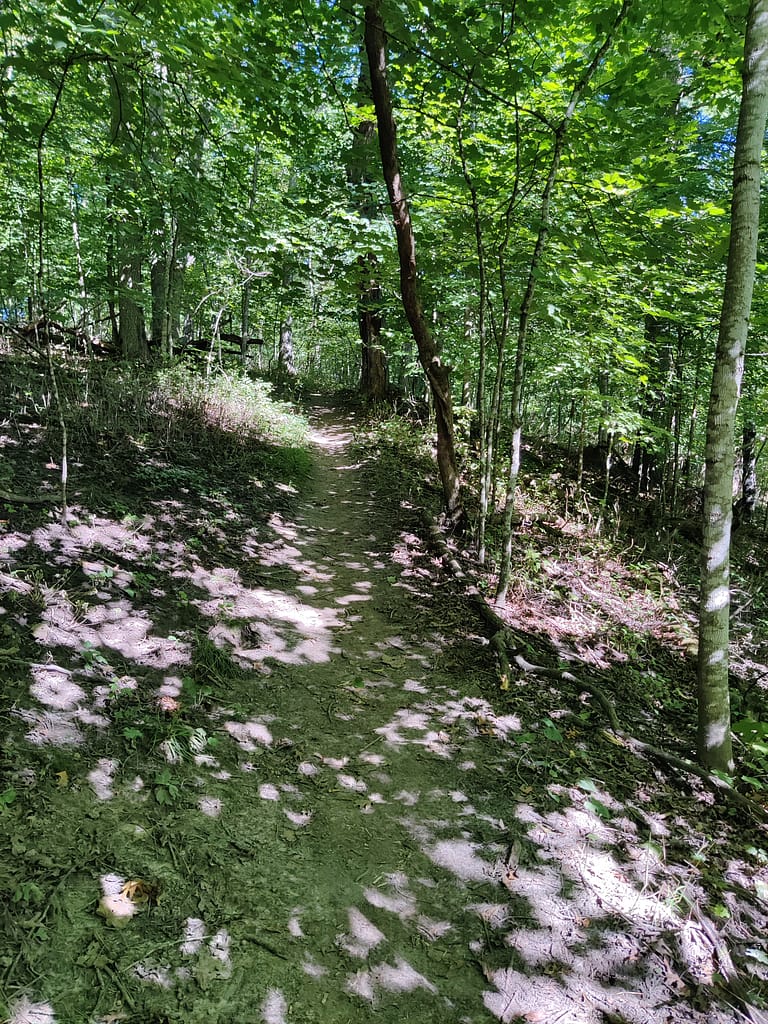
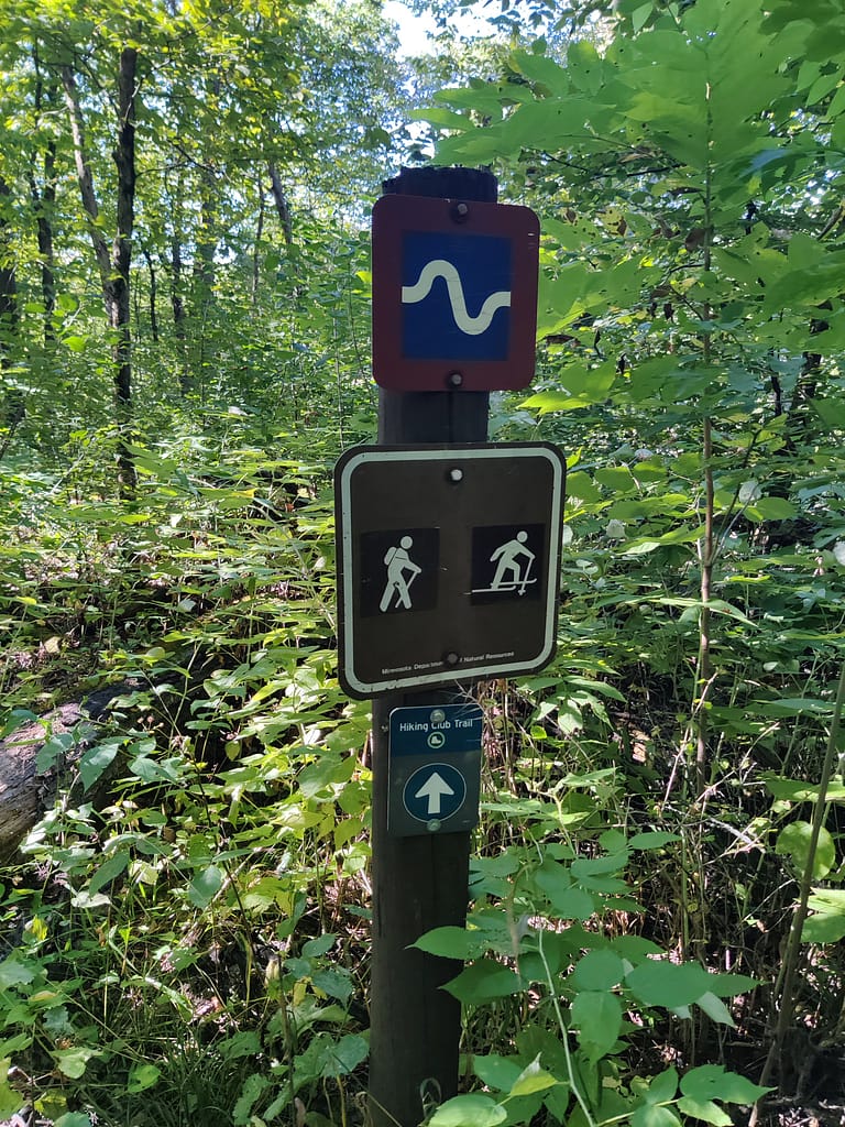
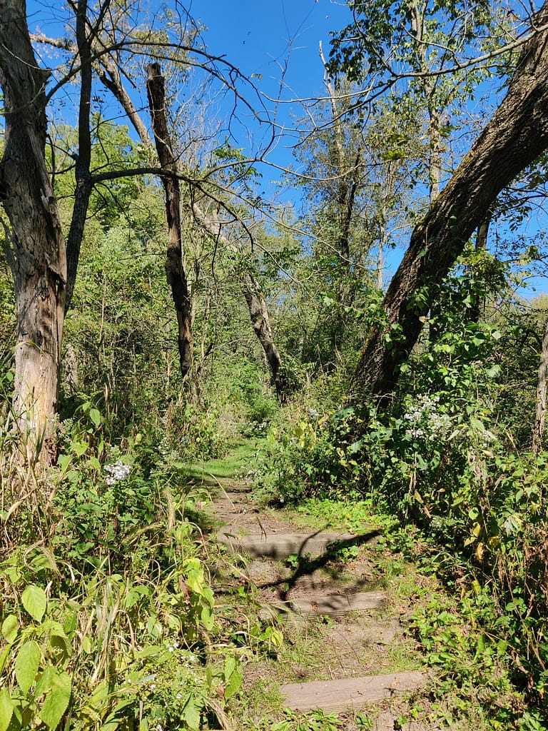
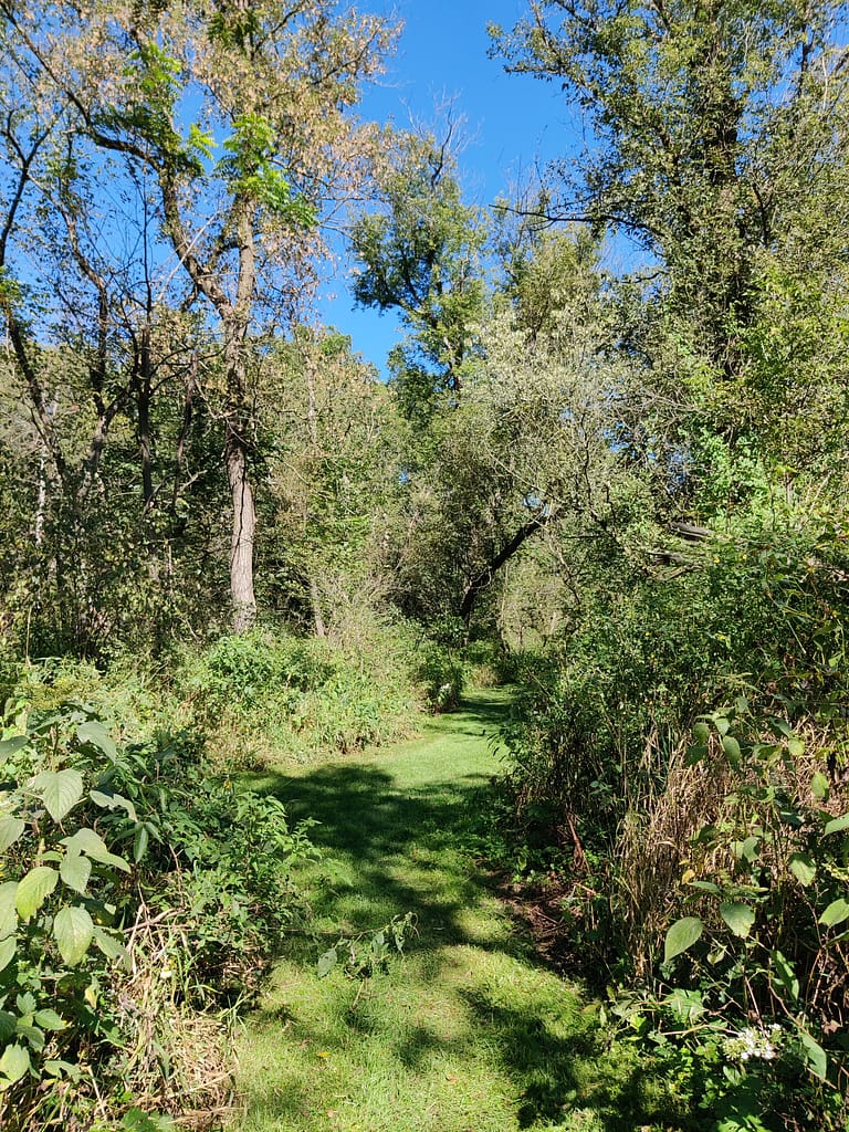
The Wildflower Trail is a loop trail. It’s about 2 miles in length and has 111 feet of elevation. I did the whole thing in about an hour and a half. This one is a little deceiving, if I’m honest. In AllTrails it’s rated as moderate, but it isn’t and that is shown on the trail markers in the park.
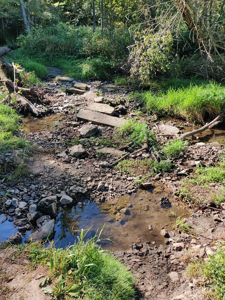
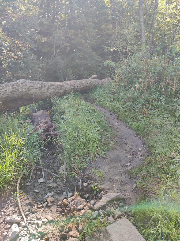
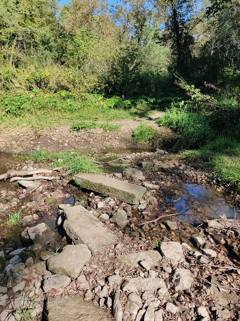
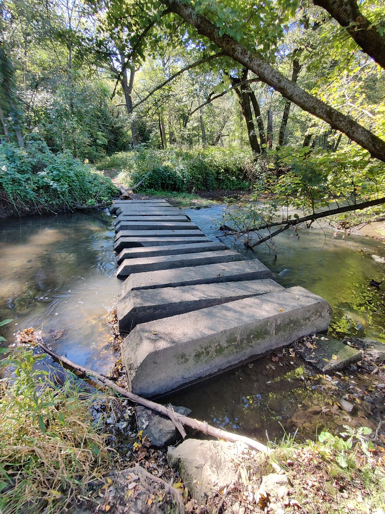
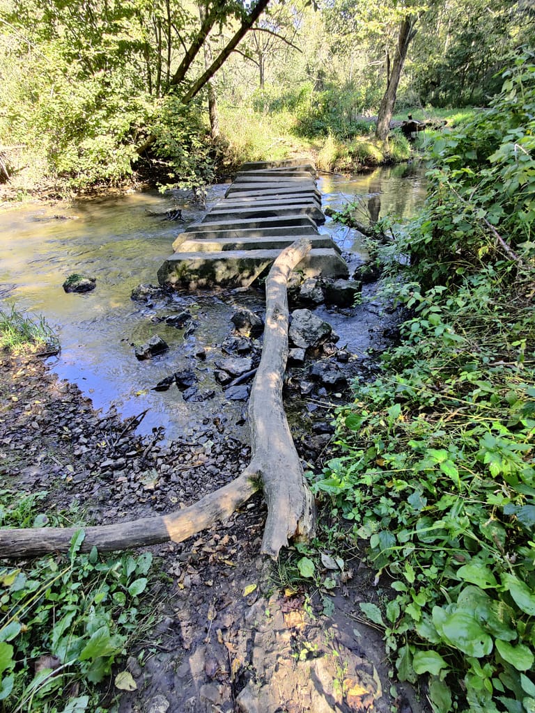
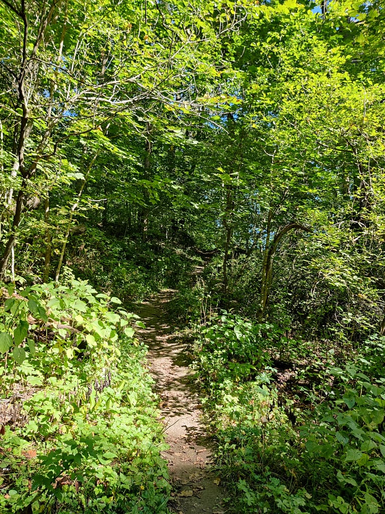
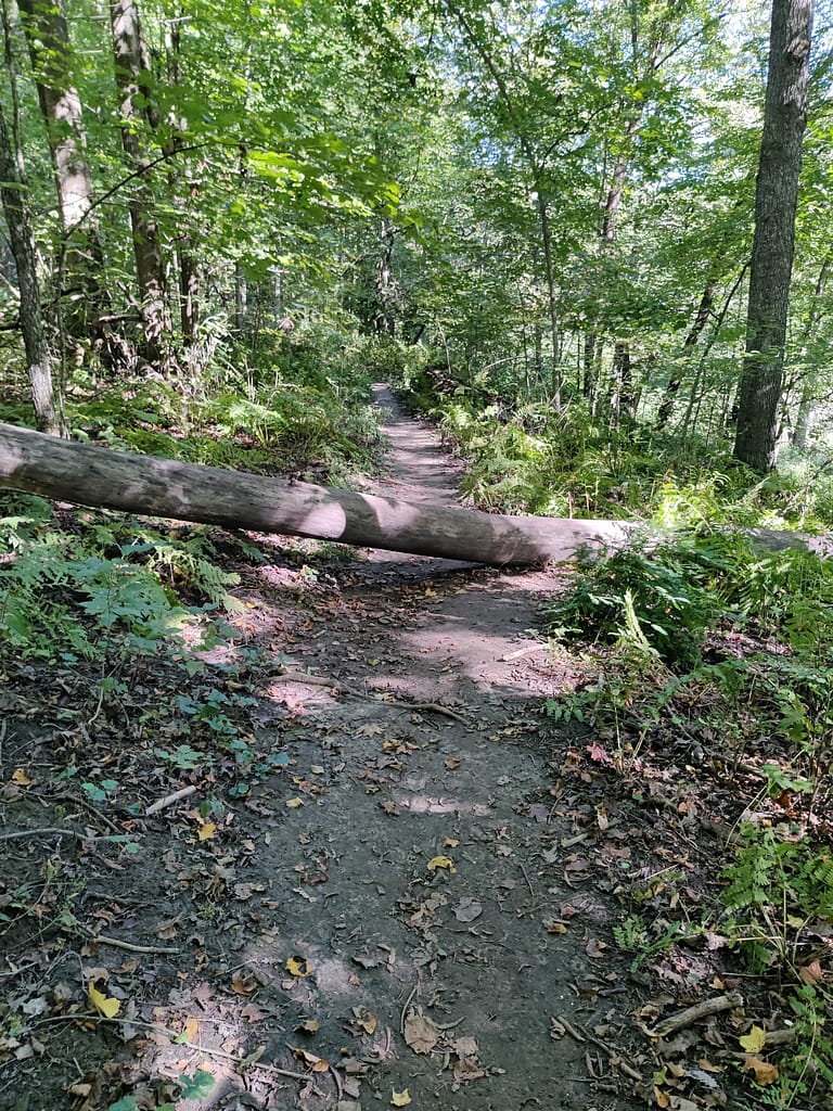
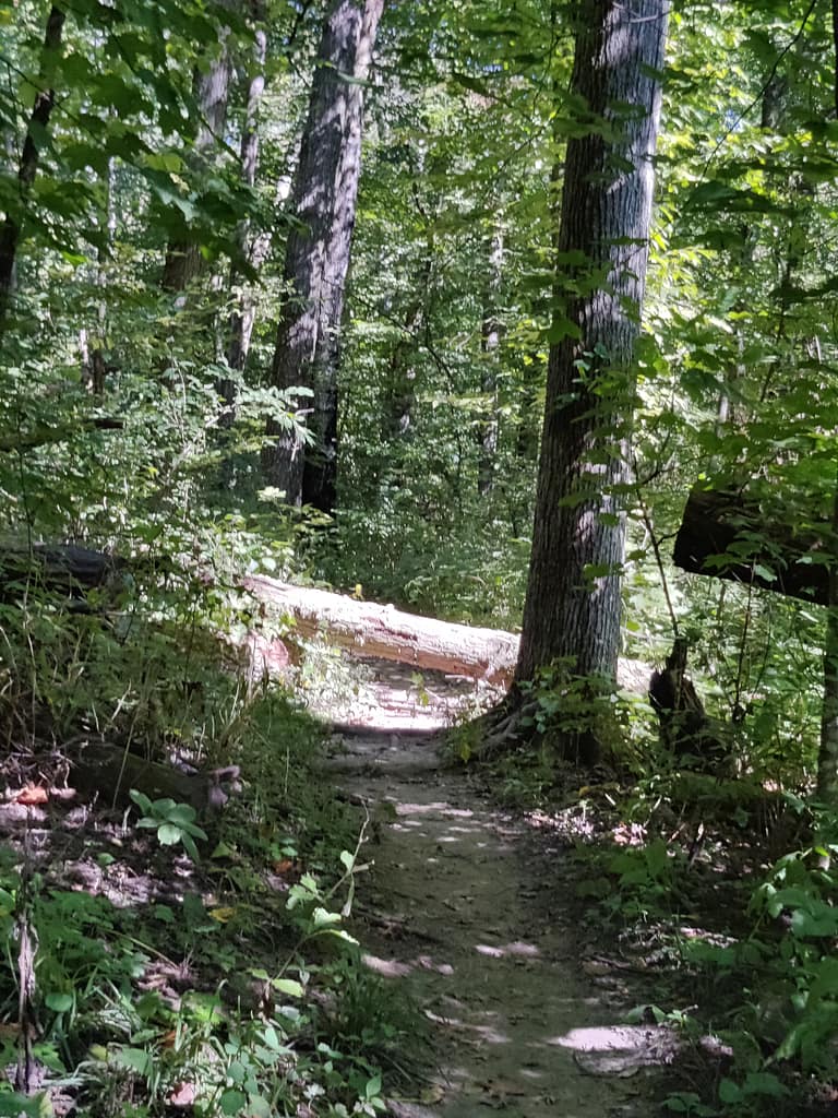
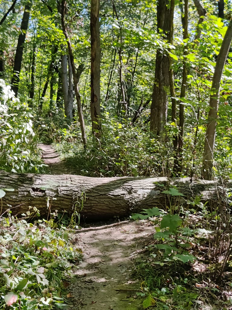
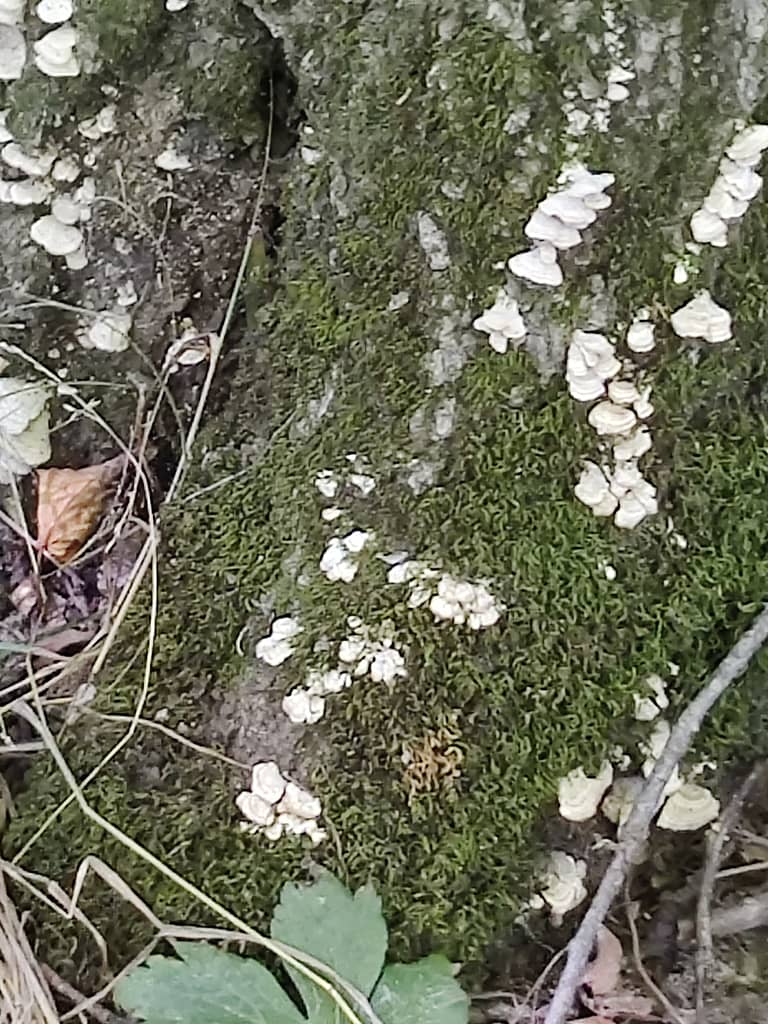
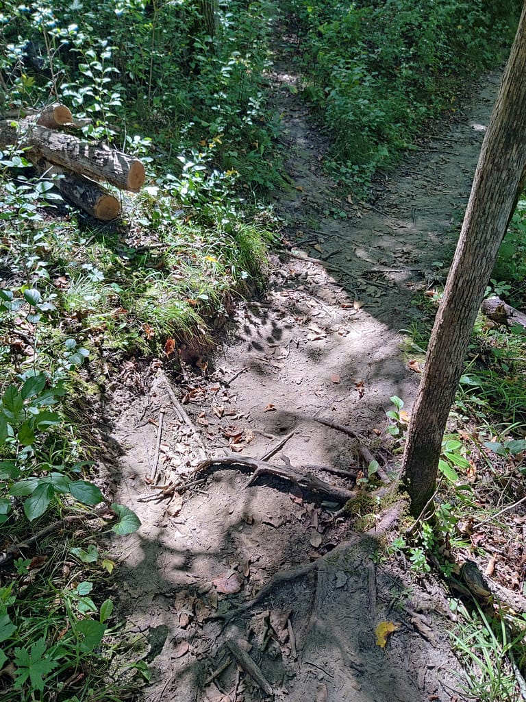
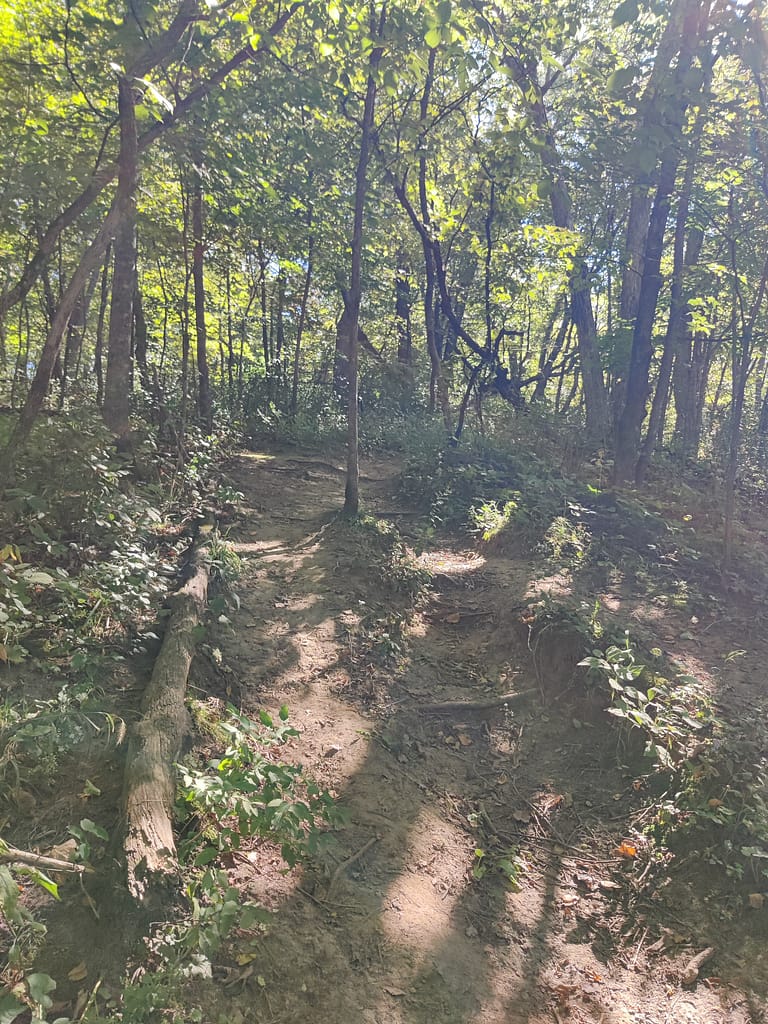
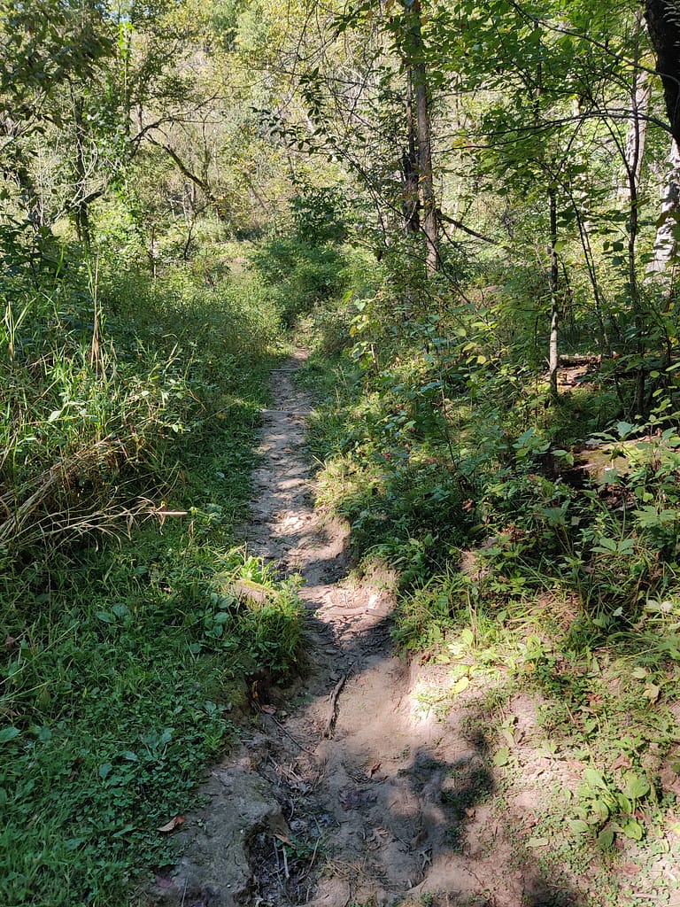
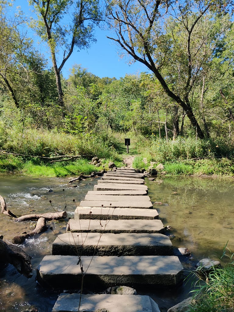
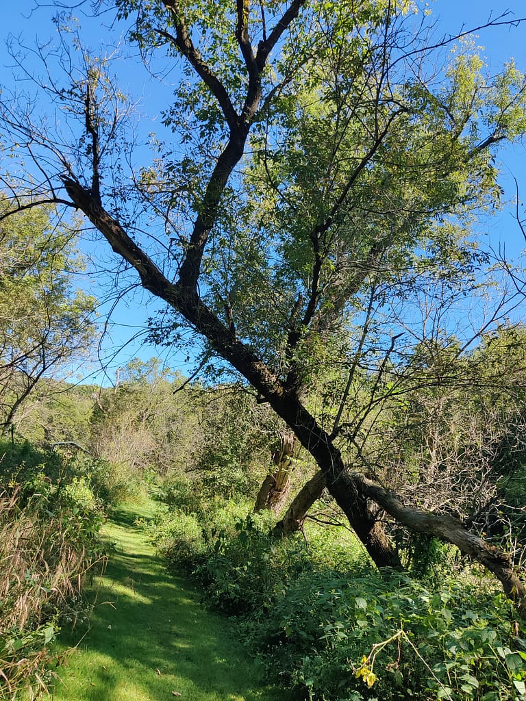
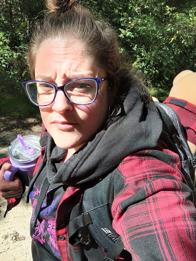
The trail starts off as easy to moderate, being mostly flat and grassy terrain, but did get difficult in the second half. There were down trees to climb over, steep inclines and declines to maneuver, and river crossings with rocks and concrete blocks. You can see that all of that in the pictures. I struggled with the first crossing, not gonna lie…didn’t end up in the river though, so win. My cup had to fly to the other side so I could keep my balance, but I only lost little water and didn’t ruin my new cup.
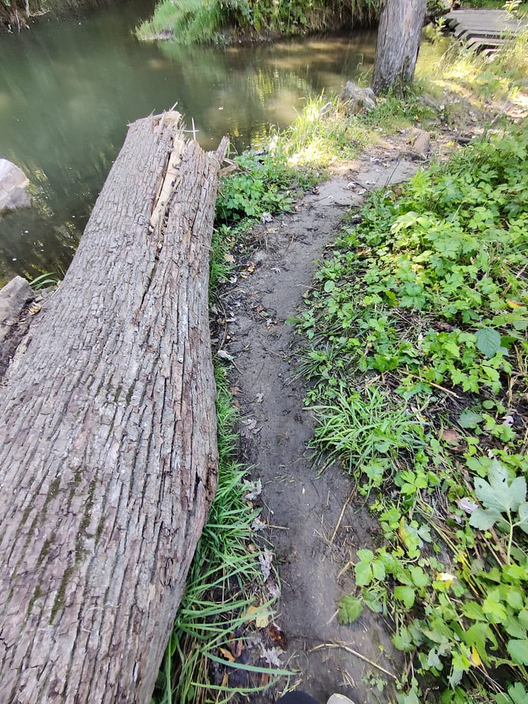
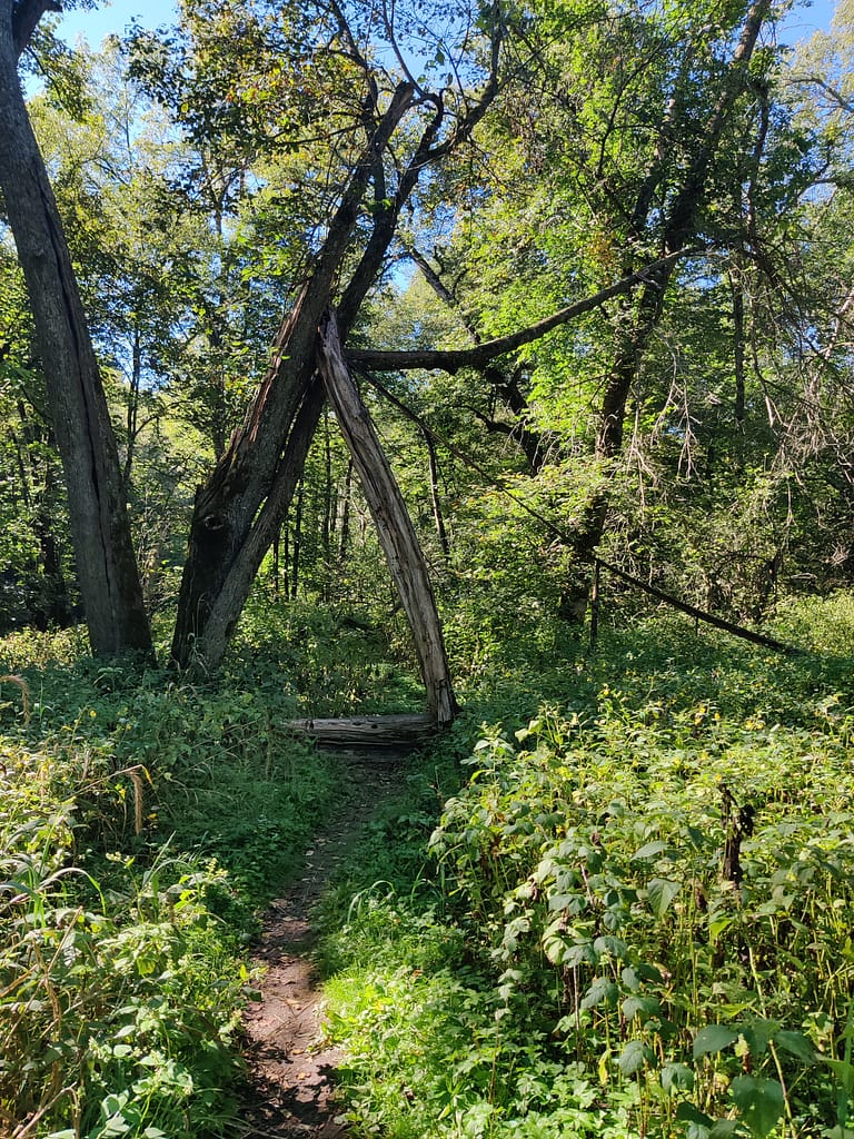
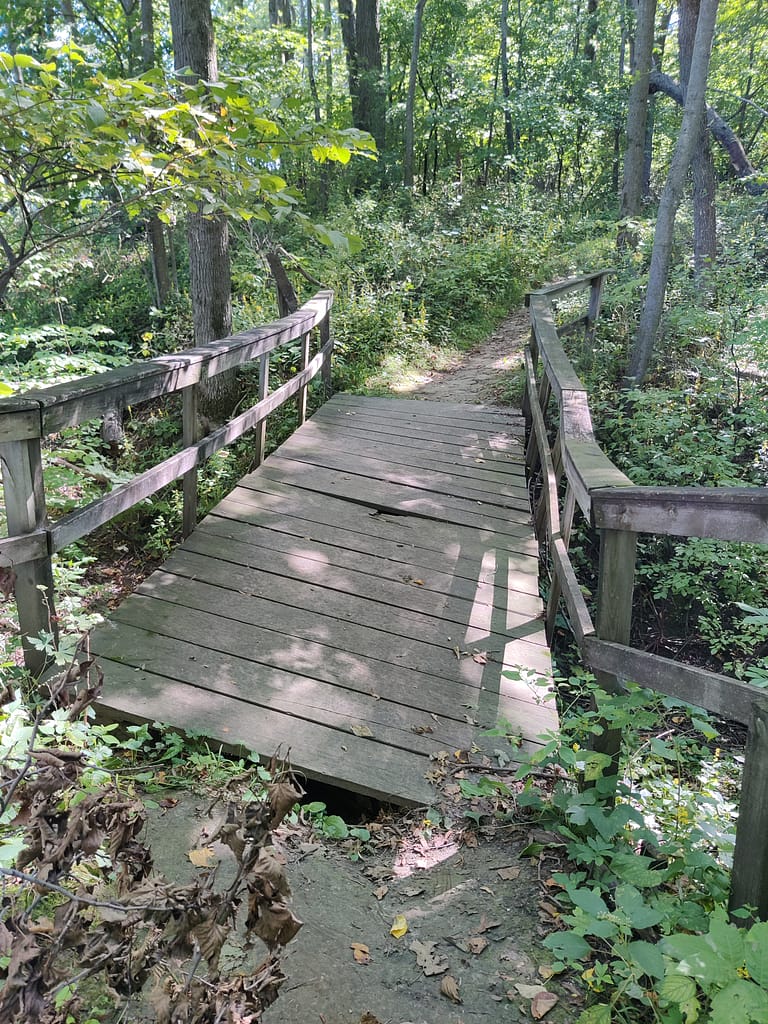
The basic b in me loves bridges, so I made sure to find the bridge on the map. It was closer to the difficult portion and broken, but crossable. Kind of a bummer, but that’s how it goes. Bugs were minimal here, which was great because I was huffing, puffing, and sweating. At least I warmed up from the chilly night XD.
How would I rate this, you ask?
This trail would fall into the hard category of my rating scale. Given everything I mentioned above, I was almost dead and struggle bussed for sure. I wouldn’t recommend this for those with mobility issues or if you are unsteady. Bringing your hiking sticks for the hills, would be a great idea. I didn’t and regretted it.
Do you spy Currently Unnamed CardyBear? If you spot him, put FOUND in the comments 😊
Be safe out there! REMEMBER YOUR MAPS AND PASSPORT STAMPS!! Seeyalaterbye <3
Also, if you feel called to help a sista out with her travels, check this out!