Park Info
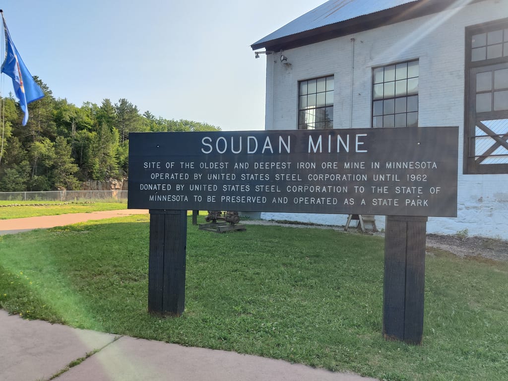
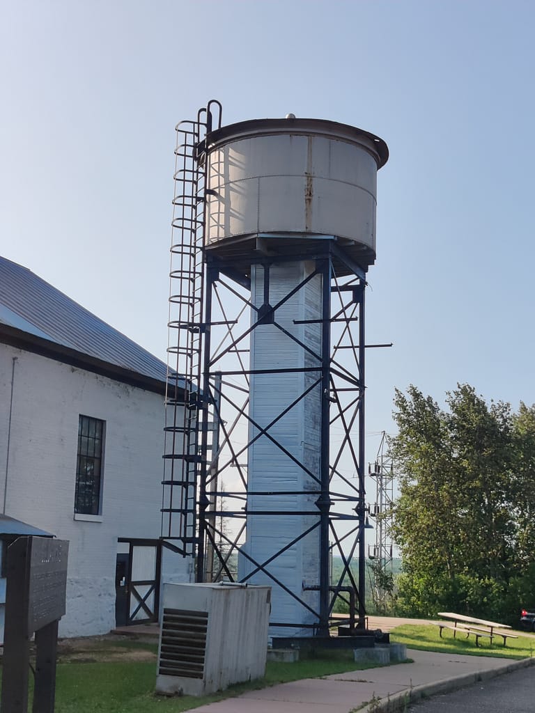
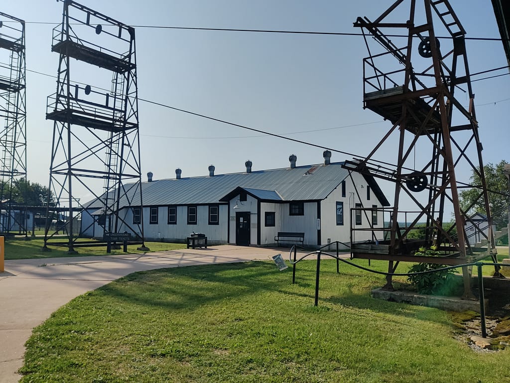
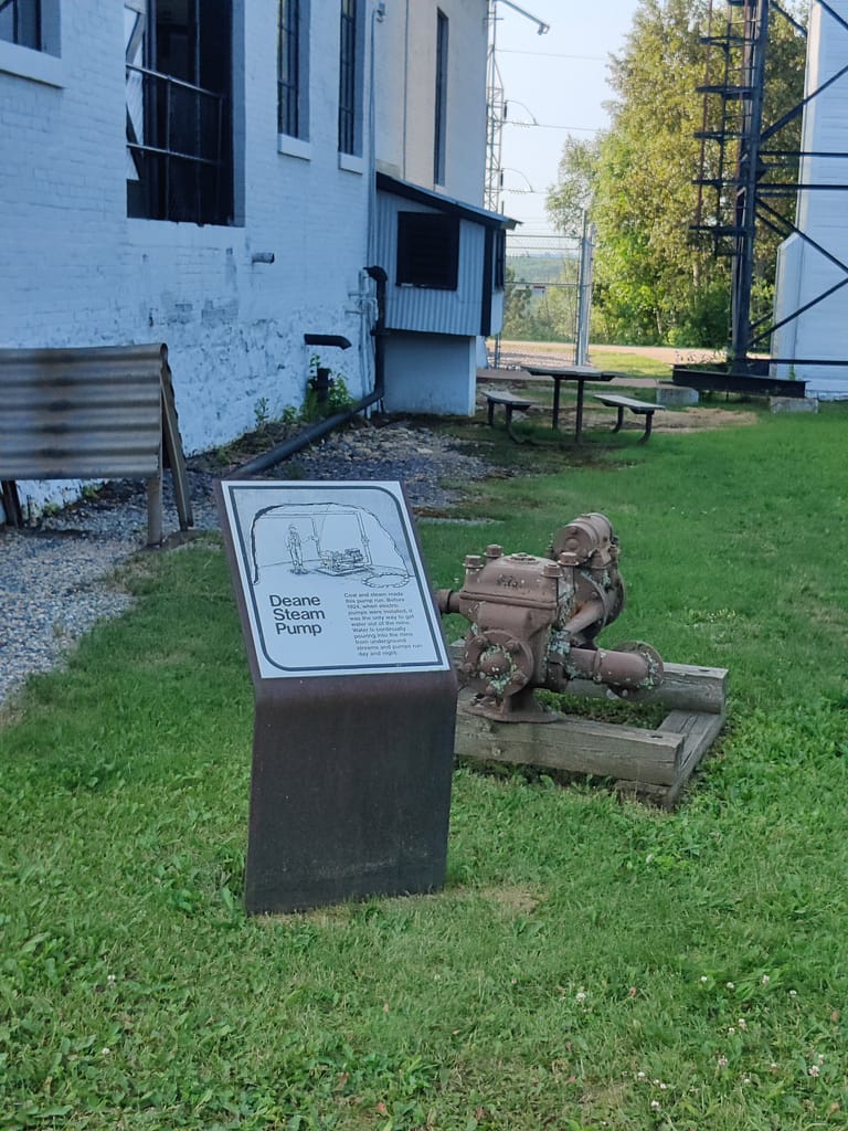
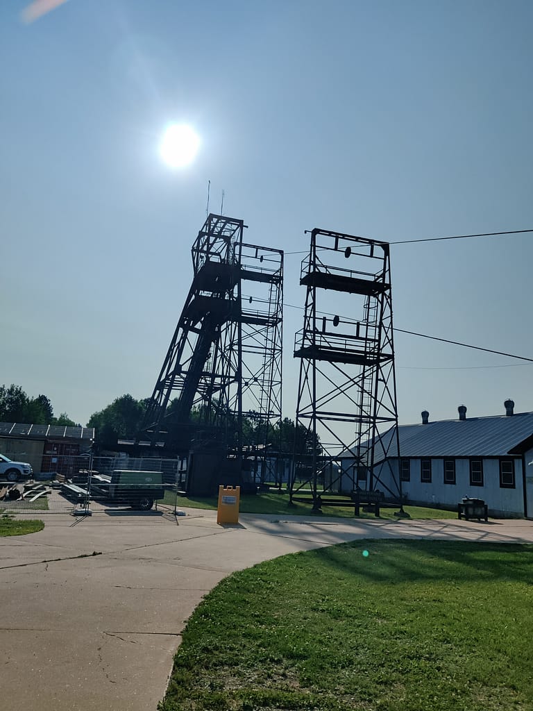
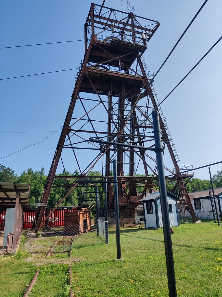
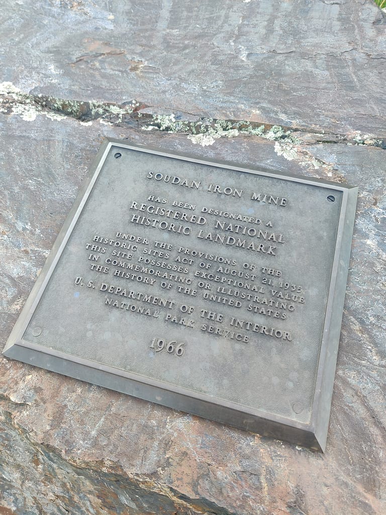
Lake Vermilion-Soudan Underground Mine State Park is located on the south shore of Lake Vermilion in Soudan, MN. This park offers a wide variety of activities, including hiking, fishing, boating, snowmobiling, picnicking, and tours of the iron ore mine. It also has a park office, visitor center, interpretive exhibit, naturalist programs, and a gift shop.
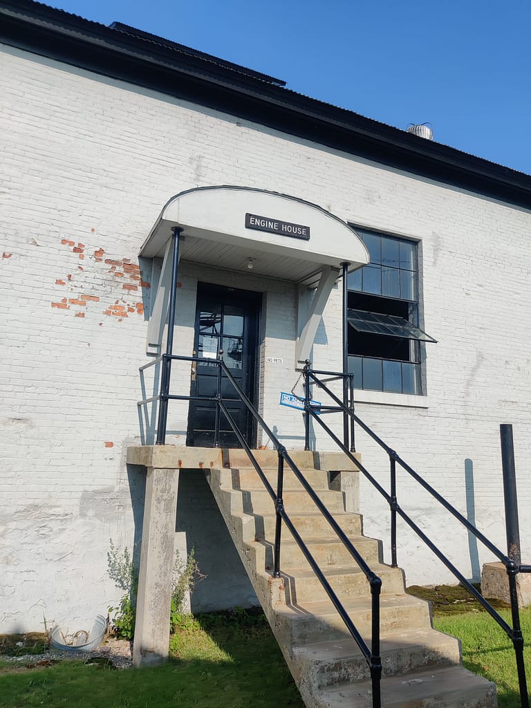
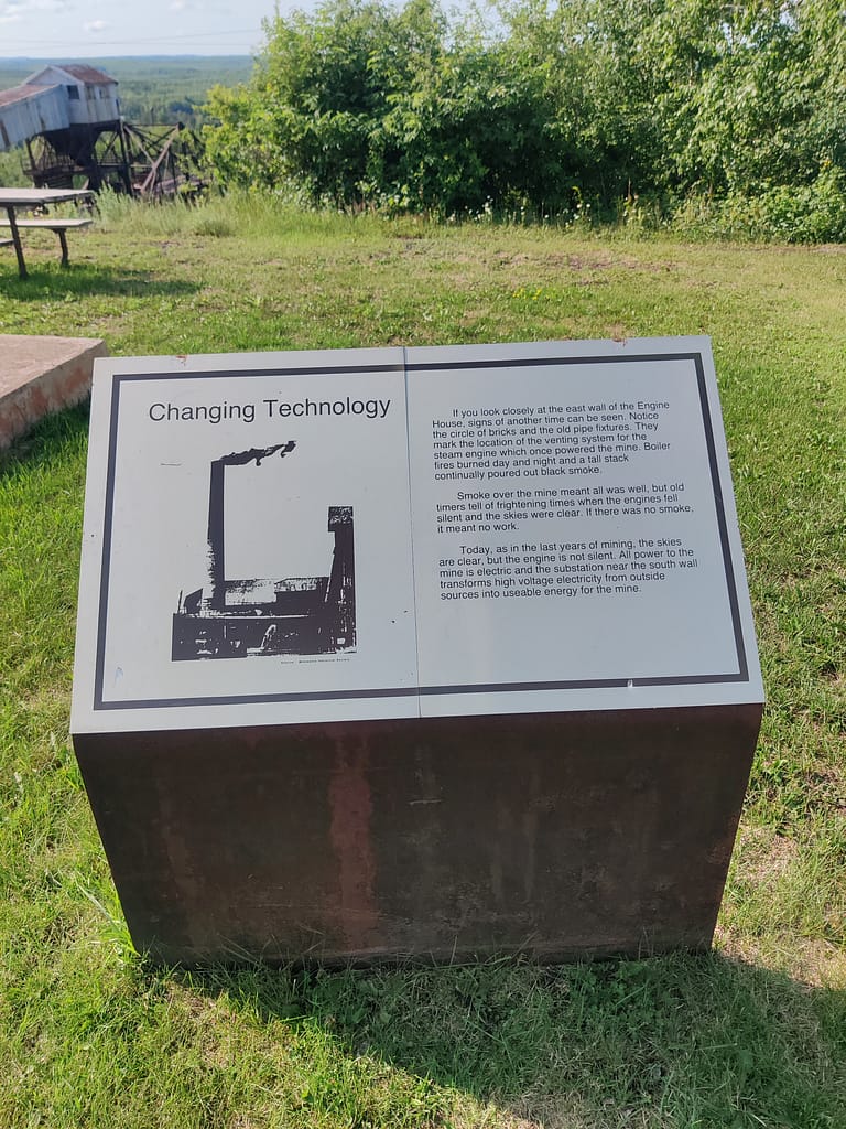
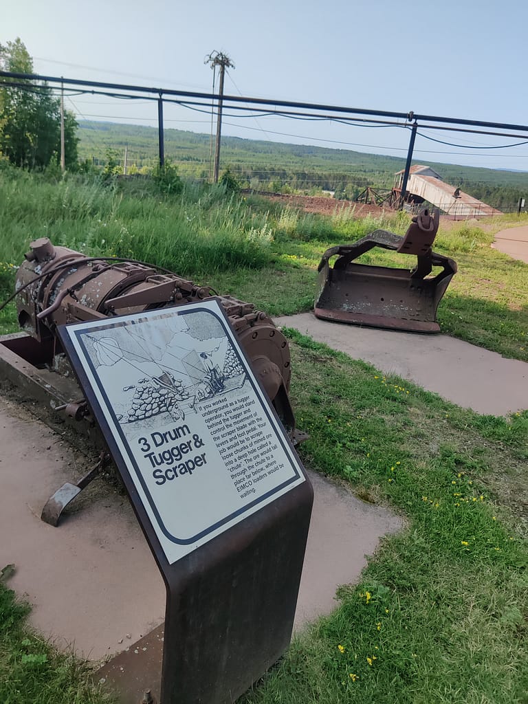
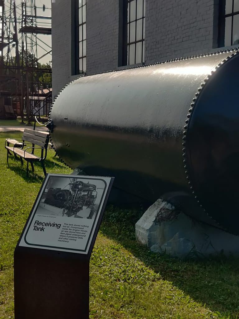
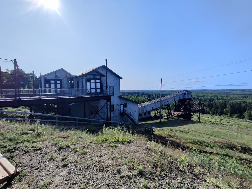
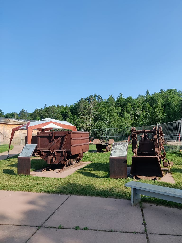
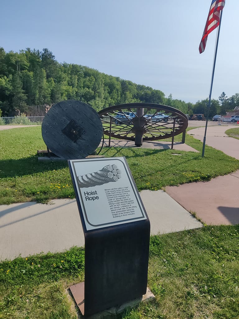
The trails here are both marked and unmarked, so grab a map and be careful if you decide to wander off the beaten path. There is a wheelchair-accessible trail from the parking lot to the lakefront and if you’re a part of the Hiking Club, there is a five-mile stretch that will get you one step closer to completing your book. If you’re looking to explore the mine, a self-guided tour is available for the surface tour. Currently, the underground tours are on hiatus until 2024 due to maintenance.
While you’re out hiking, you’ll see many different types of trees and wildlife. The forest is made up of white pines, Norway pines, balsam aspen, and birch in the upland areas, and white cedar, balsam, tamarack, black spruce, ash, and muskeg in the lowland areas. As for wildlife, the park is home to deer, black bears, timber wolves, fishers, and lots of small critters. If you’re into birding, you can see loons, songbirds, hawks, and owls.
All of this info came from the Minnesota Department of Natural Resources website, so credit where credit is due. Click here to view the original source.
Accessibility of Facilities
Parking
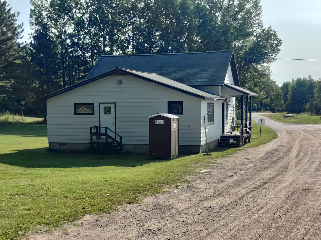
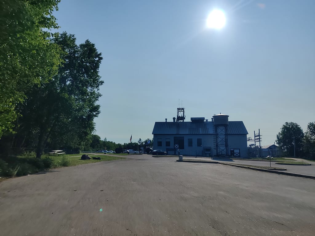
Parking here is either paved or gravel, depending on what entrance/ trail you go to. Handicapped spots are available on the paved lots. The trail I did was close to both paved and gravel. The paved lot you can get from the road; my GPS led me to the visitor center for the mine and it is gravel.
Bathrooms
There are vaulted bathrooms at the main entrance. They were large enough to be accessible, however, there are no door buttons and the door swings outward. I don’t remember seeing grab bars. Near the trail I went on, there was a port-a-potty in the parking lot. There are likely modern bathrooms inside the dry house where you sign up for mine tours, but they were closed when I got there, so I didn’t see them.
Trail Access
All of the trails I saw were clearly marked with maps and there were paper maps available at the main entrance. I also got one from the kind DNR man at the parking area near the mine (at the entrance with the gravel lot).
Trail Info
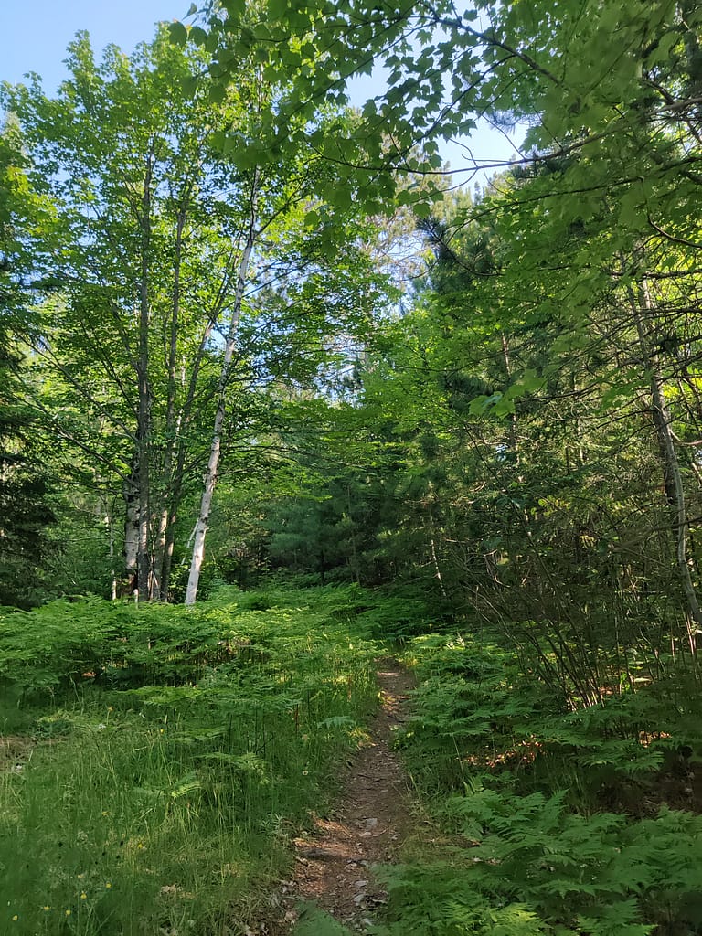
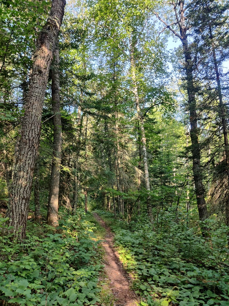
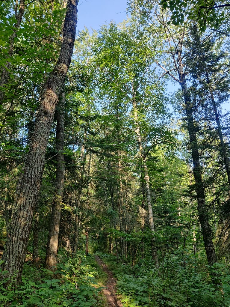
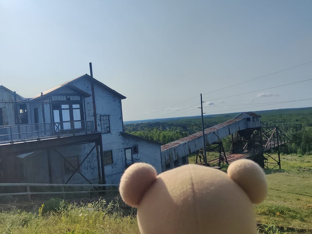
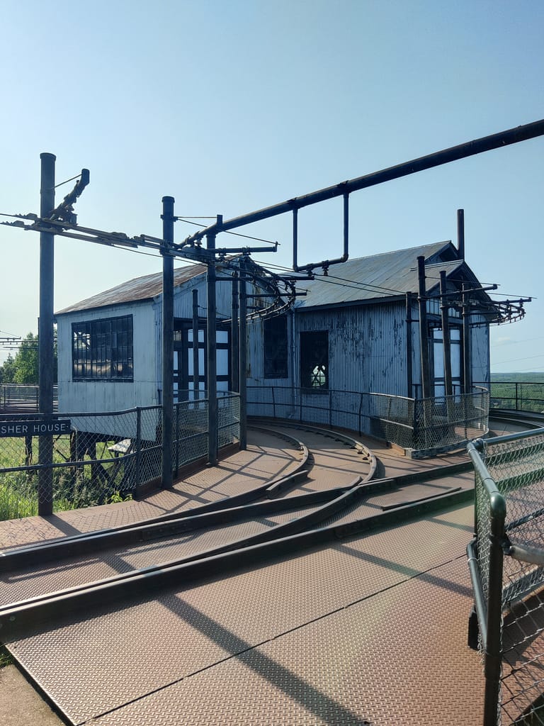
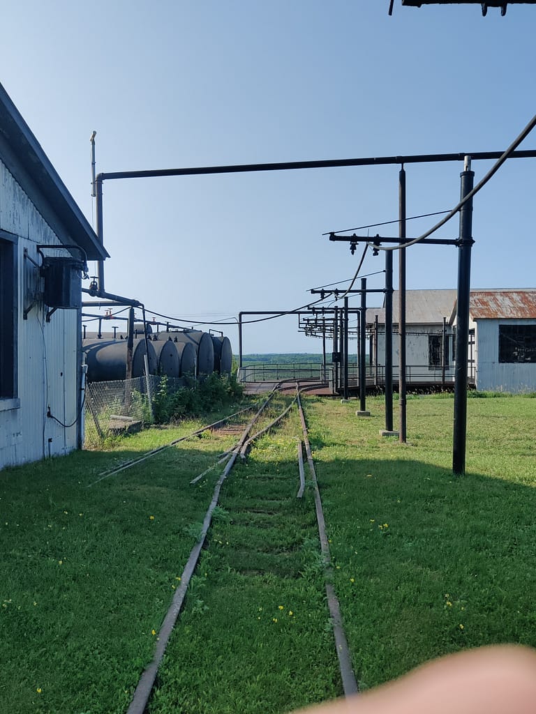
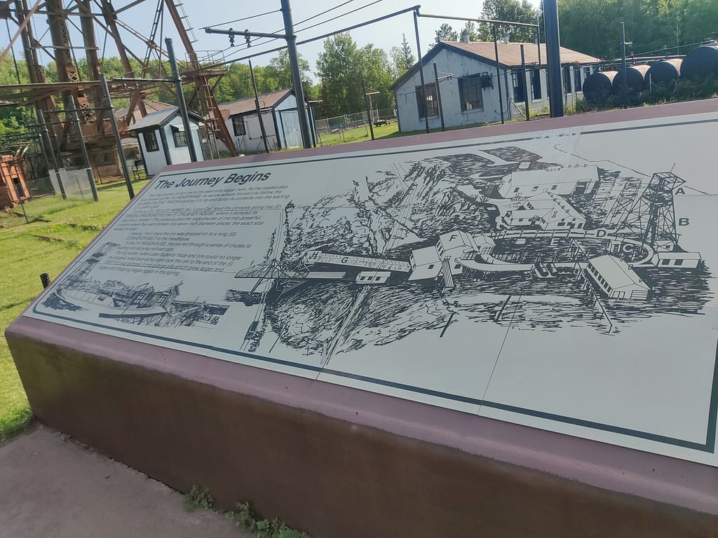
I did the West Mine Tour Loop trail. As I said above, my GPS led me to the visitor center for the Soudan Mine, so the lot was gravel. The area was also under construction, so I had to walk a bit more than planned. It wasn’t too bad, just 2/3 of a mile round trip. The kind DNR man was going the same way as me, so he took the detour with me and gave me a mini tour and a brochure. It would have been super interesting to take it, so I suggest doing so. I was over an hour too early for tours, or I would have.
There is also lots of stuff for Pokemon-ing if that’s your jam. I took two gyms and added to a third…gotta get those coins. There are a handful of stops too, so if you need new ones, here you go.
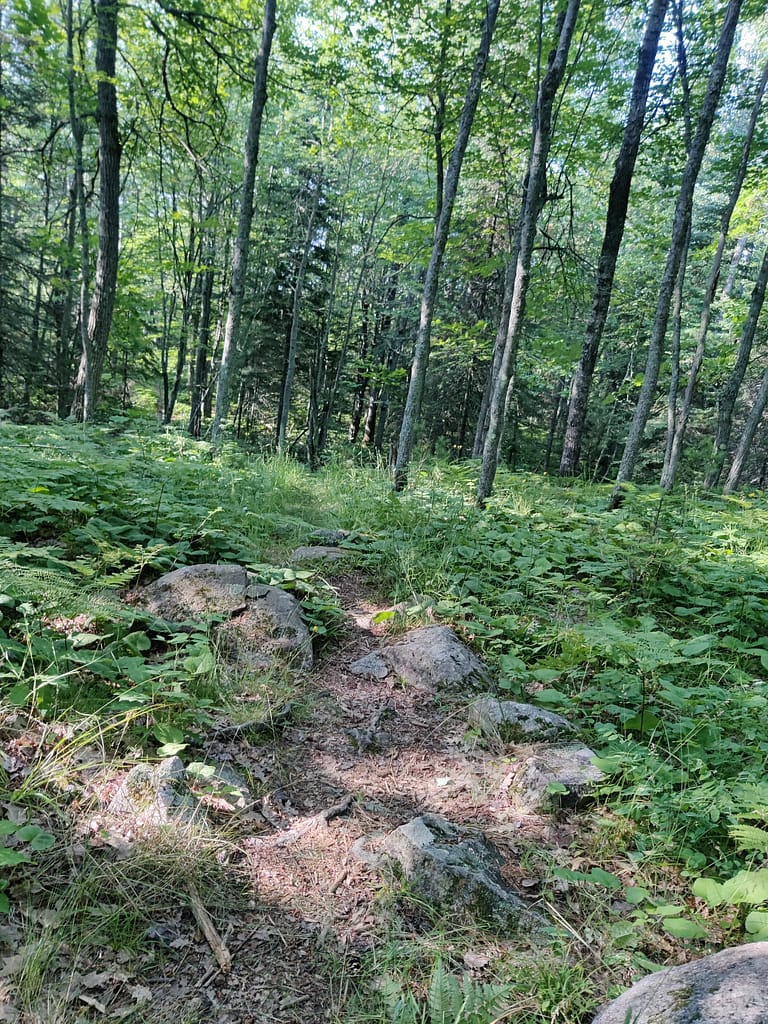
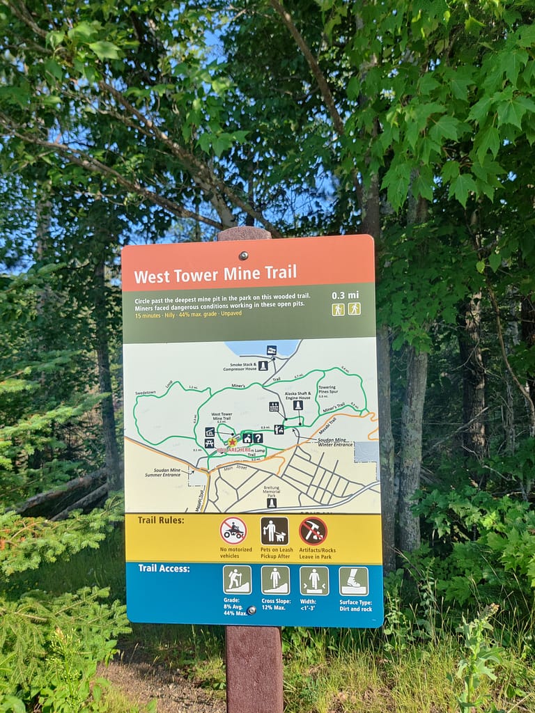
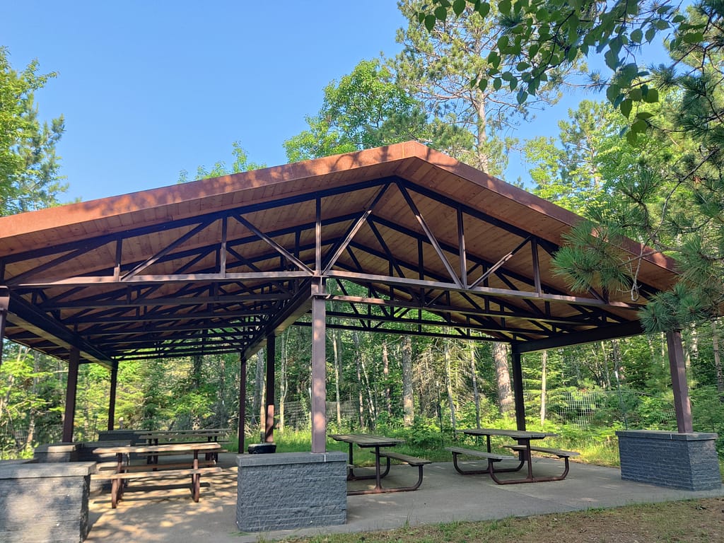
Since the trail is a loop, you can start on either side. Pretty sure I started at the technical end—by the pavilion, but it doesn’t really matter. As you can see from the sign (which I didn’t see until the end in typical me fashion 🙄🤣) the grade is between 8-44%, 1-3 feet in width, and a cross slope of 12%.
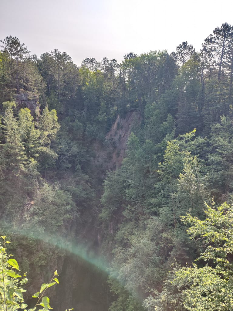
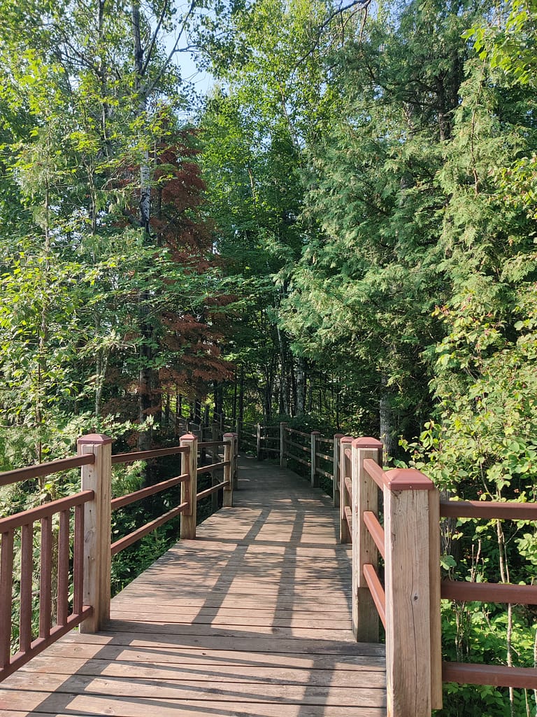
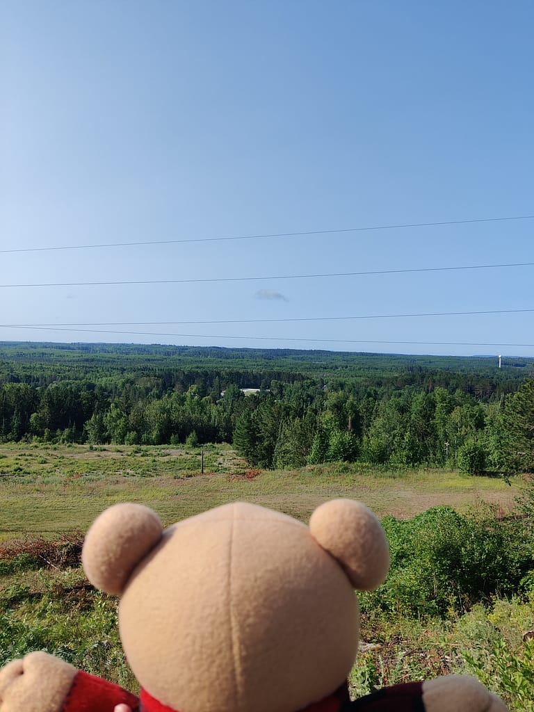
I am not good with numbers and what all that means so…the trail is narrow, steep-ish, and similar to a wildlife trail. The inclines were pretty steep for me and there were lots of rocks and roots to maneuver around. Near the end (beginning for people who don’t go backward) the trail becomes a wooden walkway and has a lookout point. The gorge was awesome.
I decided to take the parking lot along the trail back to the beginning because I was finished with the trail. There were bugs, but it wasn’t horrible. Again, I went with no bug spray because out of sight out of mind.
My rating
I would rate this as a moderate trail because of the inclines and all of the stuff to climb over and around. I was definitely huffing and puffing and took a few breaks. This was the same trip as the Bear Head Lake post, so I was without one of my inhalers, dealing with undiagnosed shingles, and lady problems here too. That stuff plus sleeping like crap the night before absolutely affected me mentally and physically.
I was cold and was up every hour or so. When I got up around 3-3:30 am to go to the bathroom, I just stayed up. I forgot how much colder the nights are up here, so make sure to bring an extra blanket or thermals. If those things didn’t happen, I doubt my rating would change, but they made it harder for sure. I would like to come back up here and do another trail and take a mine tour when it opens back up.
Cell service was better here than at Bear Head Lake. Did not get full bars by any means, but I was able to use my phone without issue. So, downloading maps is still a good idea beforehand.
We are going to continue playing a game of I Spy with my new hiking buddy, Currently Unnamed CardyBear. See if you can spot him and put it in the comments.
Be safe out there! REMEMBER YOUR MAPS AND PASSPORT STAMPS!! Seeyalaterbye <3
Also, if you feel called to help a sista out with her travels, check this out!