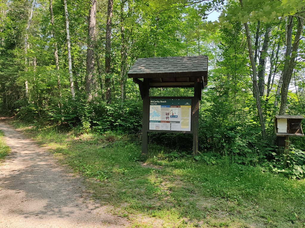
Park Info
McCarthy Beach State Park is located in Side Lake, MN. The half-mile beach runs along Sturgeon Lake and the water is shallow enough to walk in hundreds of feet into the lake. There are five connected lakes to explore, as well as hiking trails, biking trails, horse trails, and in the winter, snowmobile trails.
If you’re wanting to hike, there are 18 miles wooded trail to explore. Mountain biking more your thing? The park offers 17 miles of trails, low maintenance roads, and access to places outside of the park on the Taconite State Trail. When it comes to horseback riding, there are 16 miles to ride on. The park trails connect with the horse campground. If you want to play in the snow, you can snowmobile here. The park trails connect to Taconite State Trail and the Tim Corey Trail, so plenty to zoom around in.
Want to camp here? Well, you’re in luck. There are 86 drive-in sites, 21 electric sites, 3 walk-in sites, group camping, and access to the horse camp. The showers, flush toilets, and vault toilets are wheelchair accessible.
The park also offers a park office, interpretive exhibit, gift shop, paddling rentals, firewood sales, public phones, and battery charging. Groceries and restaurants are located near the park. There are a picnic area, picnic shelter, playground, horseshoes, swimming beach, and a wheelchair accessible fishing pier.
All of this info came from the Minnesota Department of Natural Resources website, so credit where credit is due. Click here to view the original source.


Accessibility of Facility
Parking
When we stopped by the park office, there wasn’t any designated spots. We just pulled over so I could get my stamp and my hiking buddy a park pass and bug spray.
At the trailhead, it was a small dirt lot. You legit just drive right into it.
Bathrooms
I did not see any bathrooms at the trailhead or on the trail. There has to be some somewhere…I’d check the picnic area…
Getting to the trail
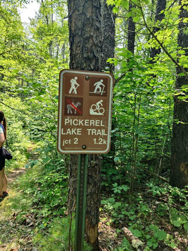
The trail we did was about two miles down the road from the park office. You’re going to think you’re on the wrong road…you’re not. I followed ‘Directions’ in AllTrails/Google Maps and was able to get there fairly easily.
Trail Info
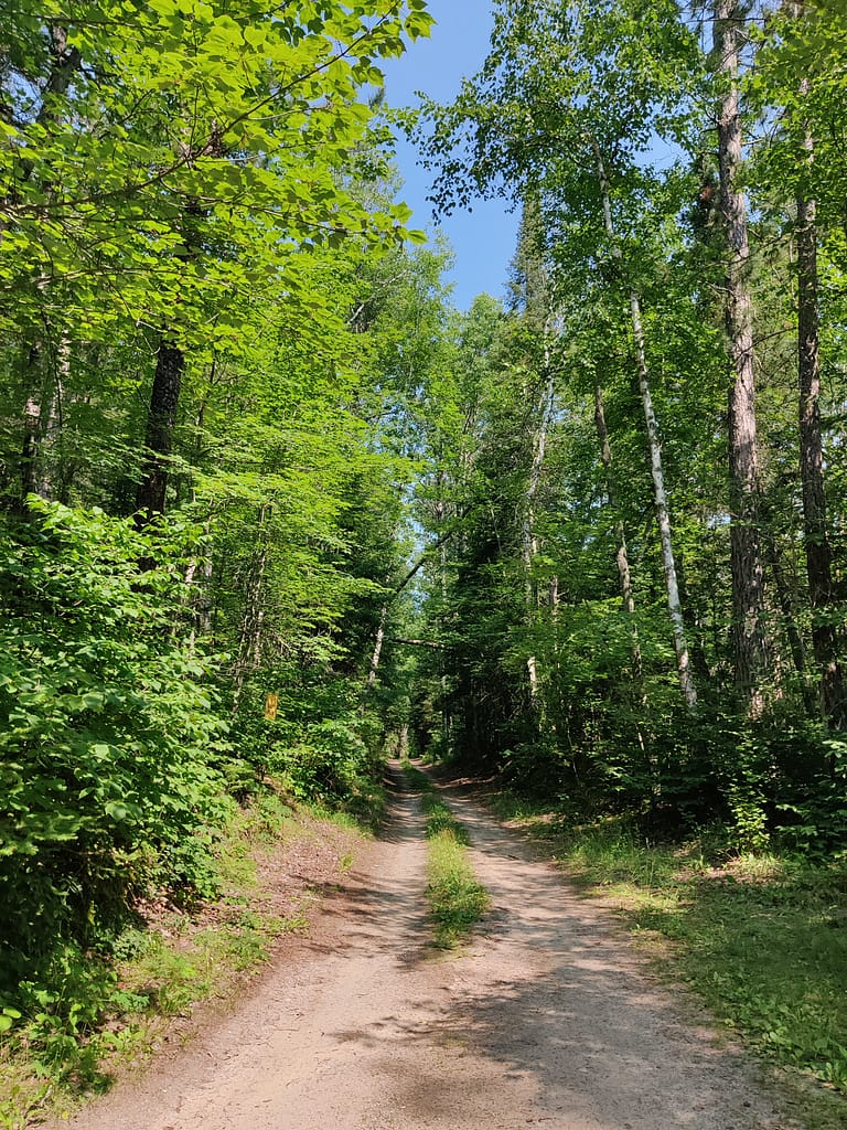
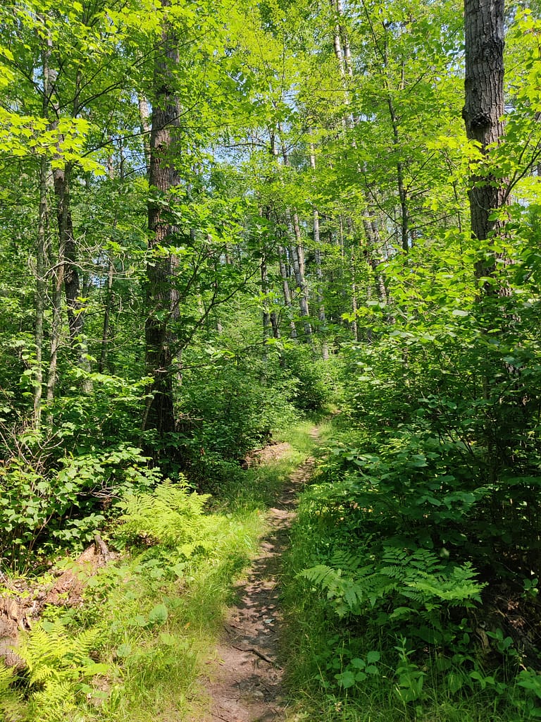
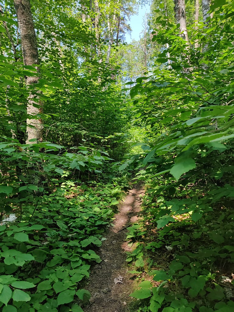
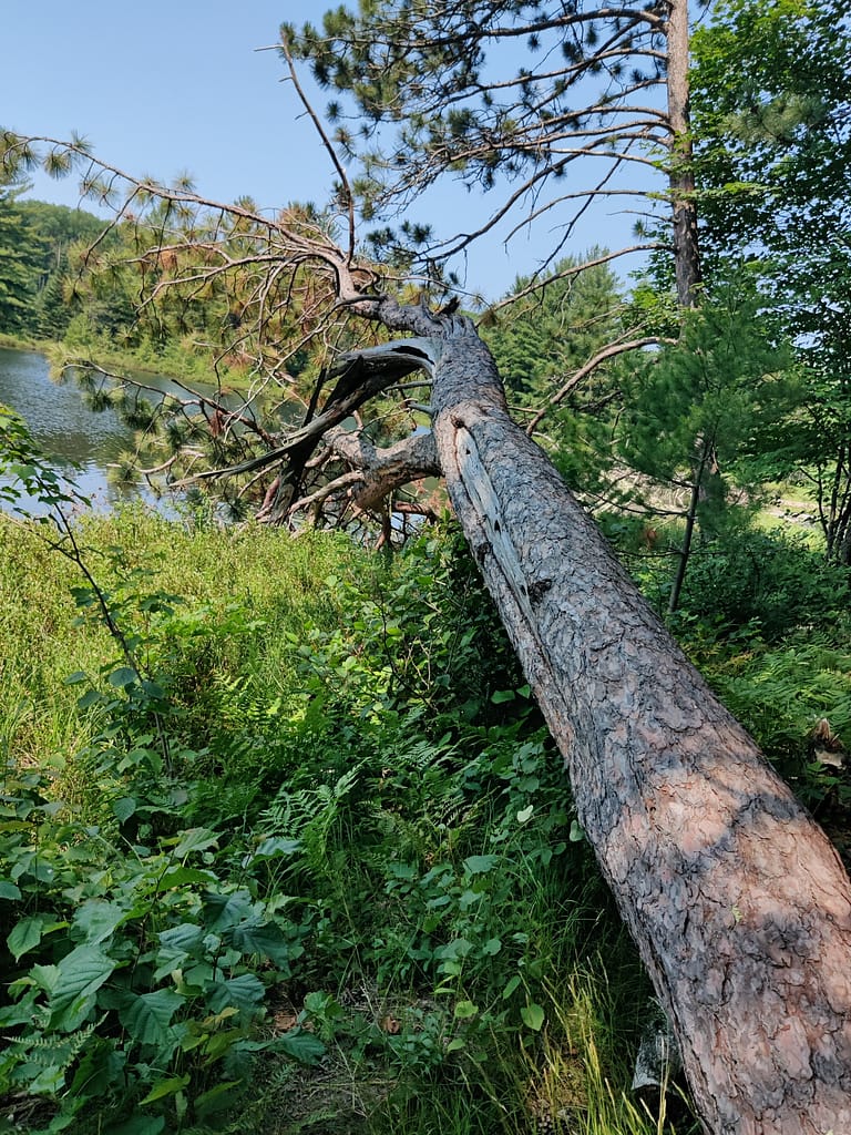
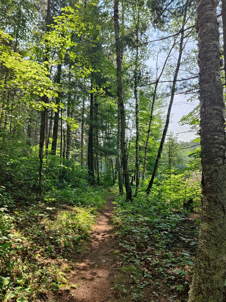
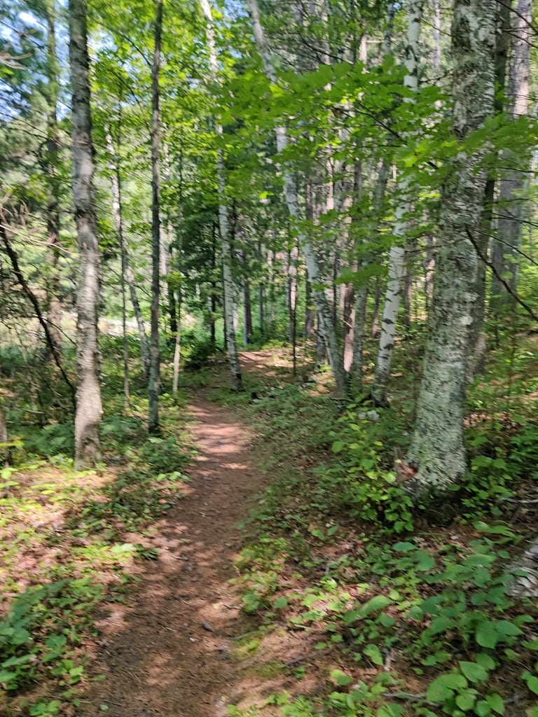
The Pickerel Lake Loop is a 3.40 mile loop with 275 feet of elevation. We did about 1.70 miles and 66 feet of elevation in about an hour. It starts at the end of a dirt road on the other side of the parking area. If you see the sign for Hiking Club, you’re in the right place. (Don’t go down the dirt road on the left…it isn’t the right way. I speak from experience). Right away the trail is rocky and a decent decline which is a perfect indicator of what’s to come. That being said, it does always stay uneven natural path, so consistency.
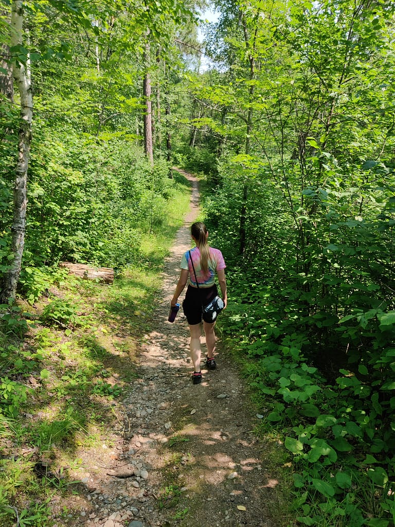
The trail is wider in some areas, but overall is narrow throughout. My hiking buddy said it would be a great trail for horseback riding, if horseback riding was allowed there. It is decently maintained, but there are a few areas that are overgrown and looked like wood ticks.
It would have been a good idea to bring hiking sticks too. I did trip a few times and there were some squishy parts and declines that sticks would have helped with. In typical me fashion, they were left in the car…at my hiking buddy’s house (along with the bug spray).
Speaking of bug spray, this one housed a ridiculous amount of mosquitos as well. They cared only slightly about the deep woods style spray we used, but I came out with very few bites. With all the medications I am on for my lung disease, I am surprised they want to come near it with a ten foot pole. That’s life of a skeeto though.
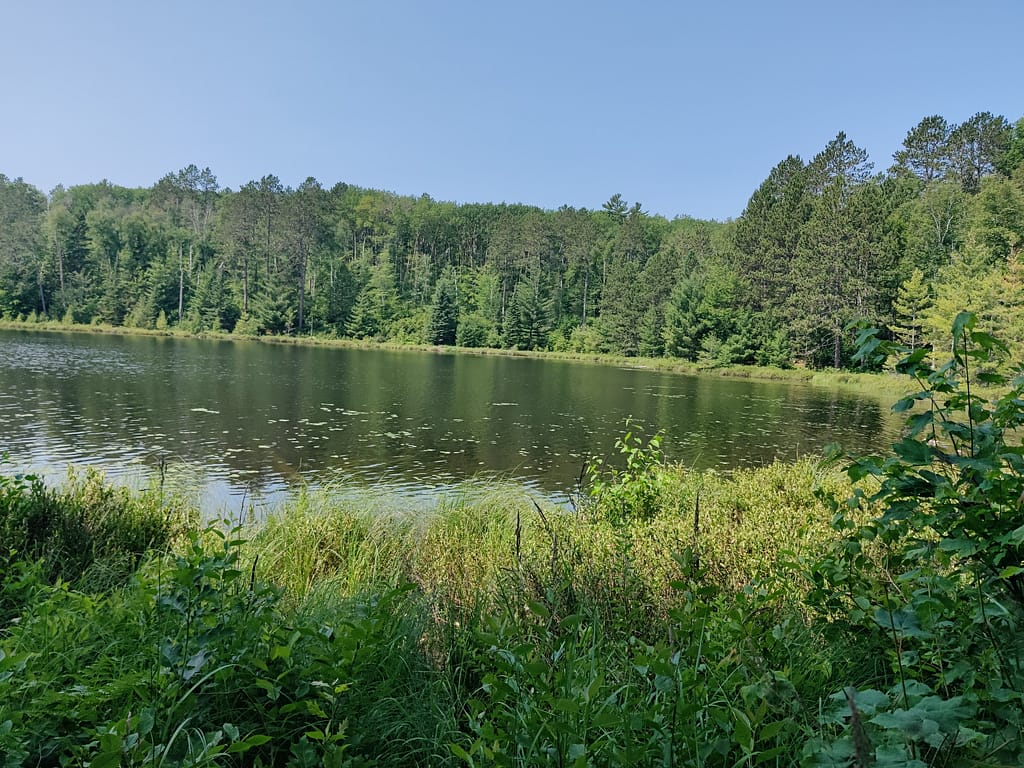
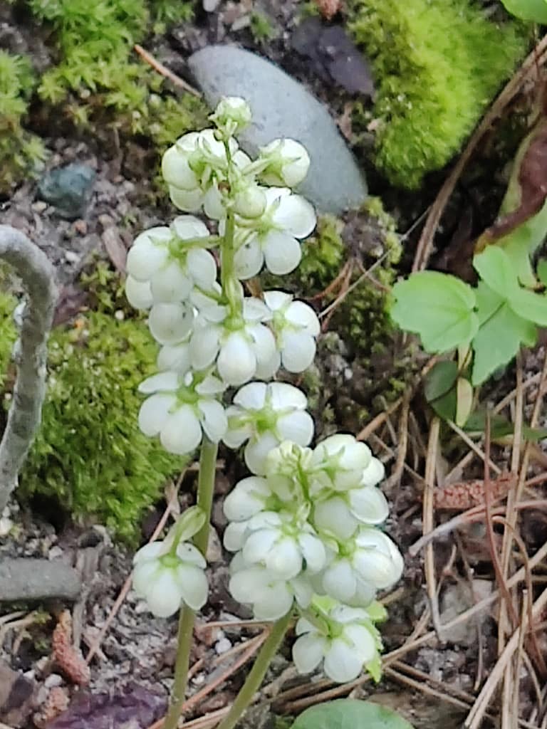
We found (and grazed on) a ton of blueberry patches. It was nuts! I haven’t seen that many along a trail ever. They were super sweet and were a nice treat as we walked and swatted. The lake view and the sounds of bullfrogs were peaceful. We only saw one other person out here and she was smart enough to wear a mosquito net like I did at Frontenac. She was also smart and wore a hat under it so it didn’t cling to her face…*shrugs*
How would I rate this, you ask?
Overall, this trail fell into the moderate category of my rating scale for both me and my hiking buddy. The elevation, along with the rocks, roots, and fallen trees to maneuver around made the hike challenging. We got to the huge incline at Big Stone intersection and decided to go back the way we came and take the other side of the loop.
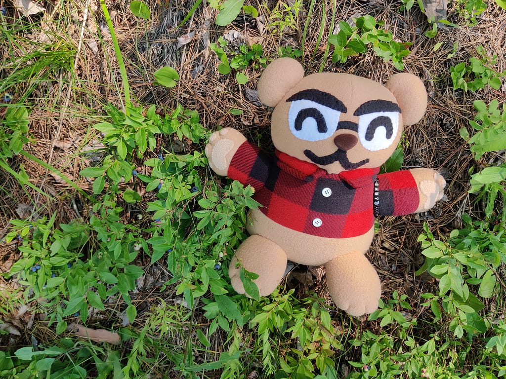
Do you spy Currently Unnamed CardyBear? If you spot him, put FOUND in the comments 😊
Be safe out there! REMEMBER YOUR MAPS AND PASSPORT STAMPS!! Seeyalaterbye <3
Also, if you feel called to help a sista out with her travels, check this out!