Park Info
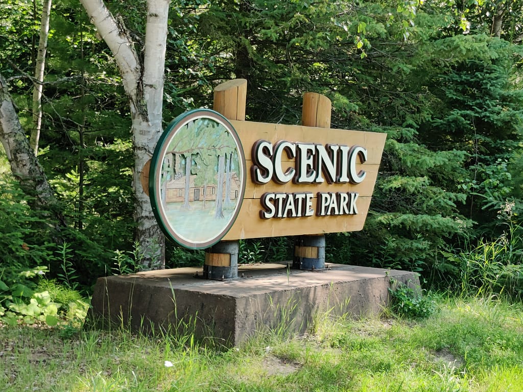
Scenic State Park is located in Bigfork, MN. It is located in a Laurentian Mixed Forest (LMF) landscape which is filled with aspen-birch, white pine, red pine, jack pine, and mixed hardwoods. If you’re like me and didn’t know what LMF is, here’s a resource. Learning new stuff today!
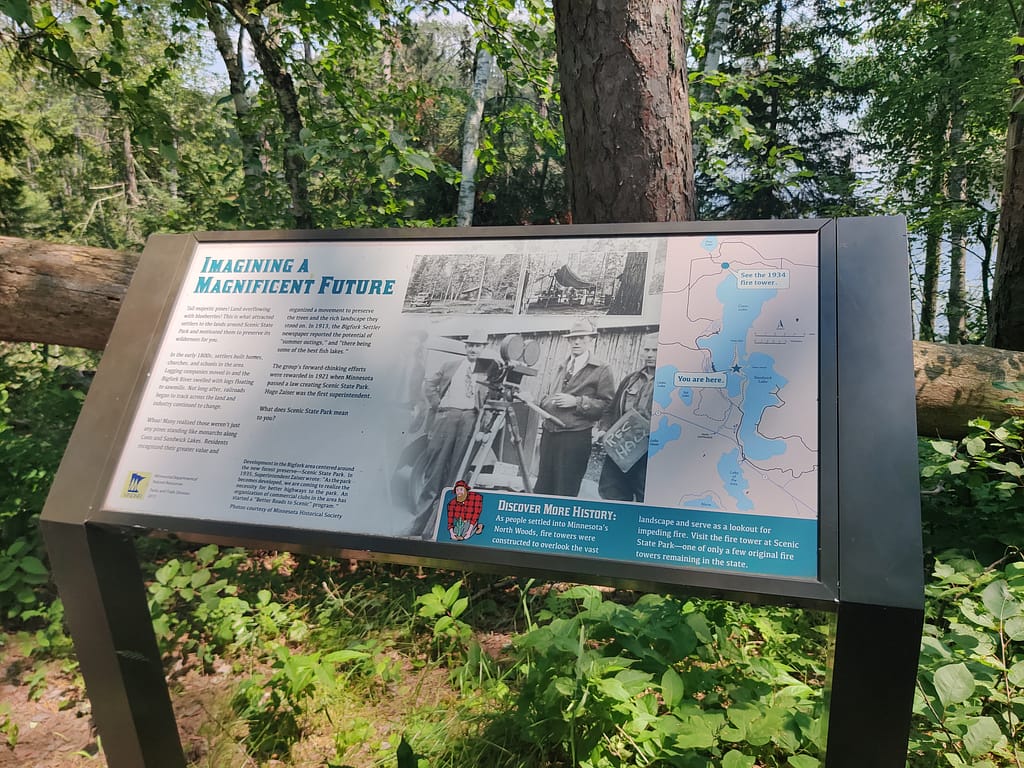
If you feel like hiking, there are 14 miles of trails through the wooded areas and near a couple of lakes. There are two miles of trail that have an interpretive signs and a self-guided tour. You can also fish and swim here. During the winter months, there is 10 miles of maintained snowmobile trails and snowshoeing throughout the park.
Want to camp here? There are 93 drive-in sites, 21 pull-through sites, 2 wheelchair accessible sites, 2 backpack sites, 5 canoe sites, access to horse camp, group camp sites, and cabins. At the campgrounds, there are wheelchair accessible showers and flush toilets, as well as vault toilets and a dump station.
The park also offers park office, historic site, gift shop, paddling rentals, firewood and ice sales, public pay phones, picnic area, picnic shelter, fishing pier, and swimming beach. Near the park there are also groceries and restaurants.
All of this info came from the Minnesota Department of Natural Resources website, so credit where credit is due. Click here to view the original source.
Accessibility of Facility
Parking
There is a small paved lot at the trail head. It was full when we got there, but thankfully, someone was leaving right when we pulled in. The lot can only hold about six cards and the shoulder is too narrow to park on. More parking is available at the park office, however, that is a few minutes down the road. Keep this in mind when you go this way.
Bathrooms
There were no bathrooms near the trailhead or along the trail. I’m sure they are in the park somewhere, I just didn’t find any.
Getting to the trail
The trailhead is just off the road that leads to the park office. It is marked by a map and signage, so it’s pretty easy to find.
Trail Info
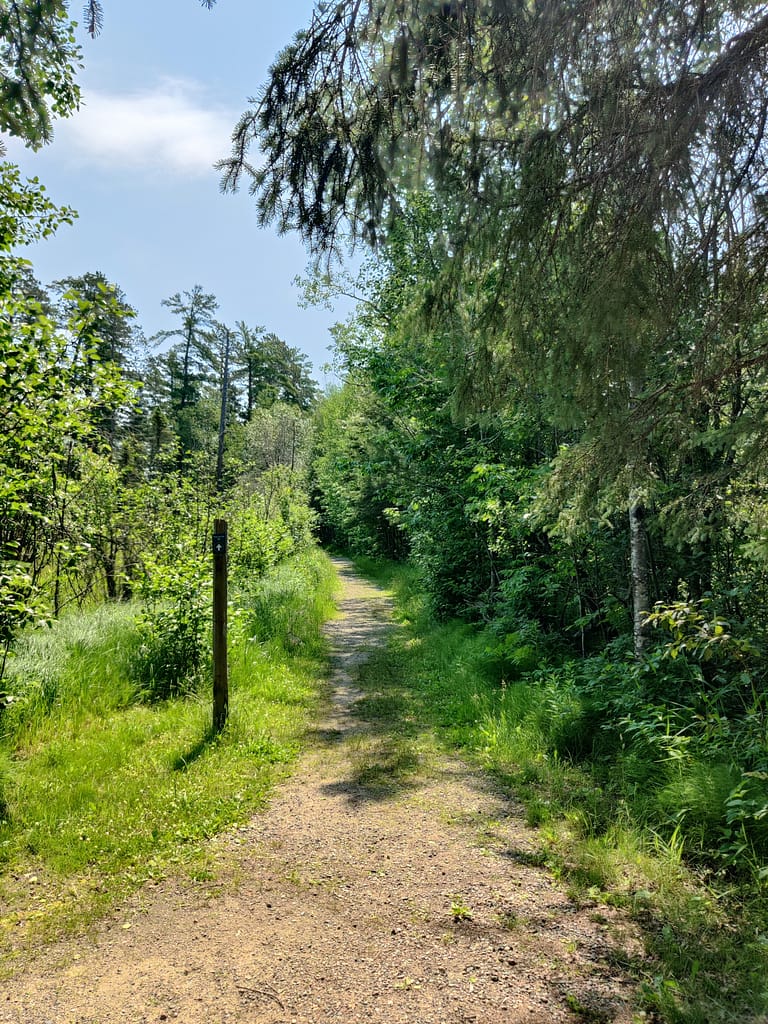
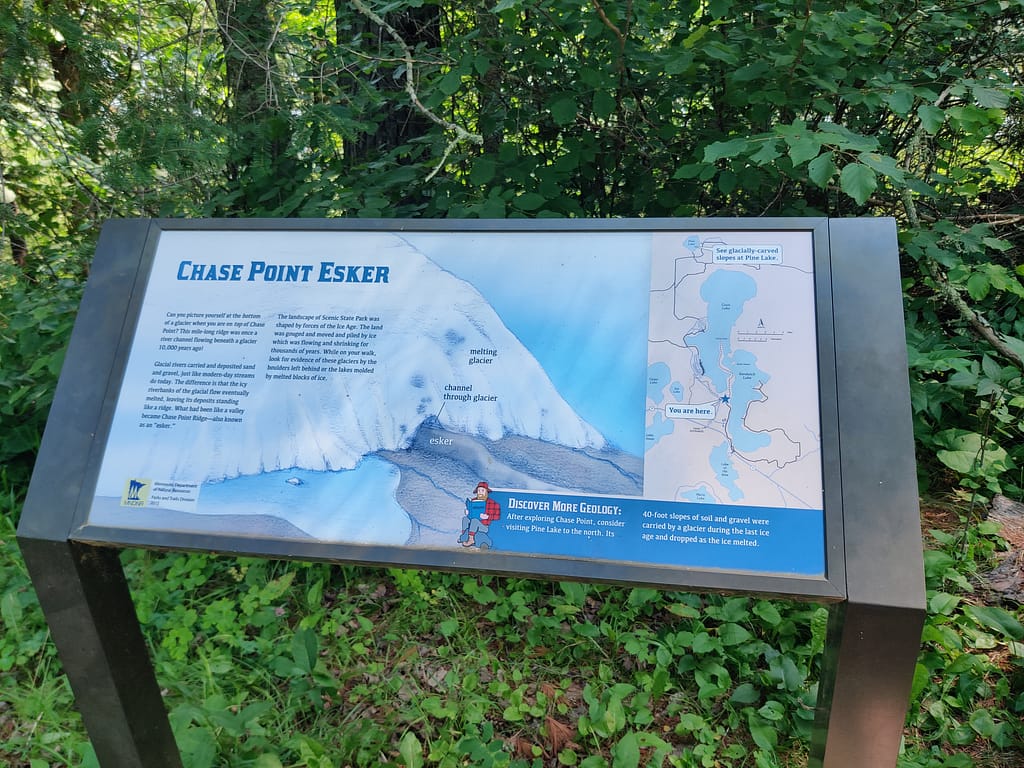
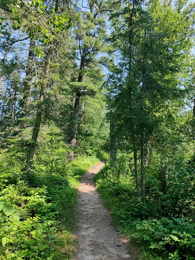
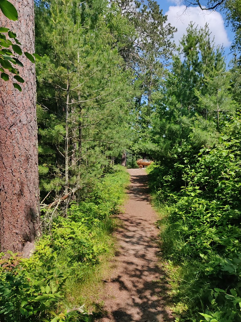
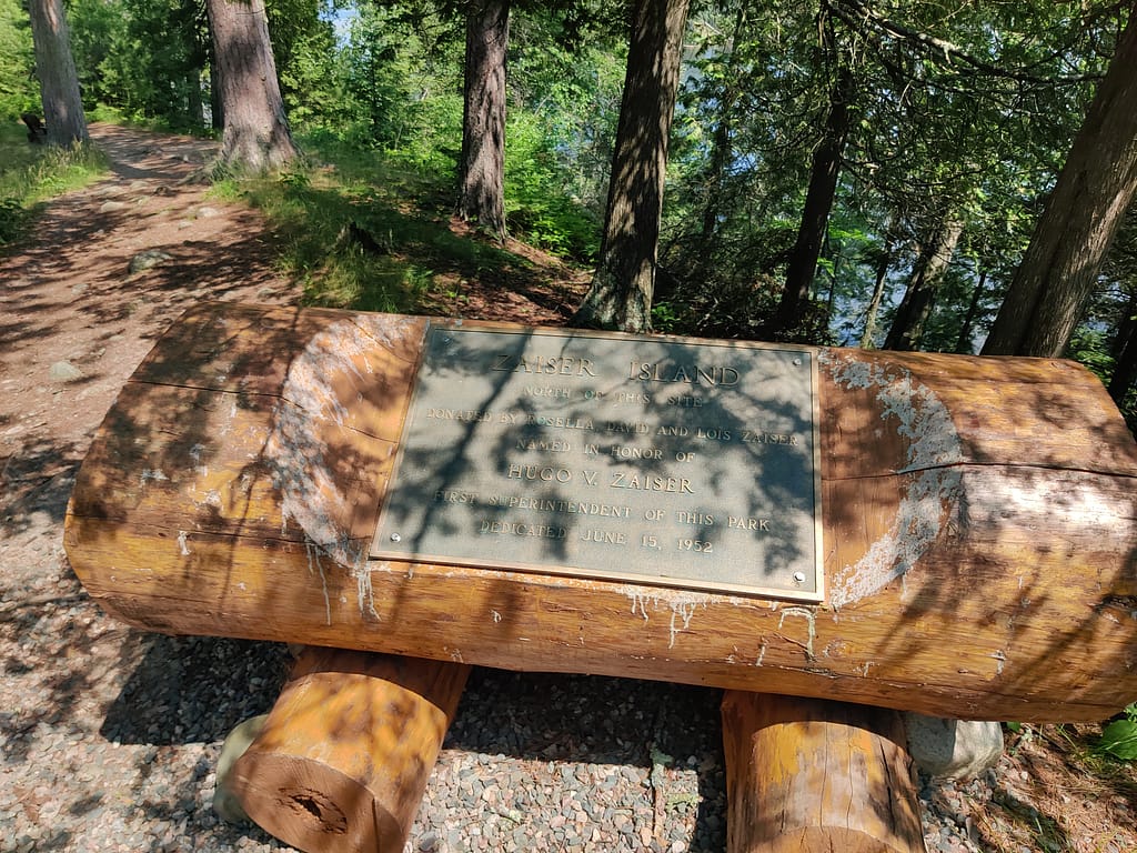
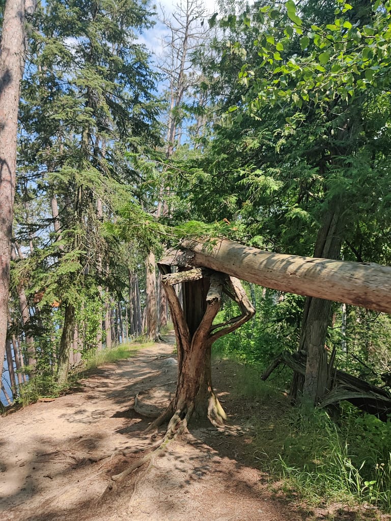
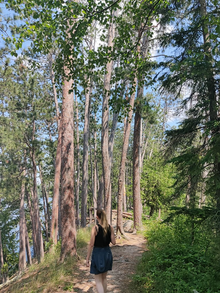
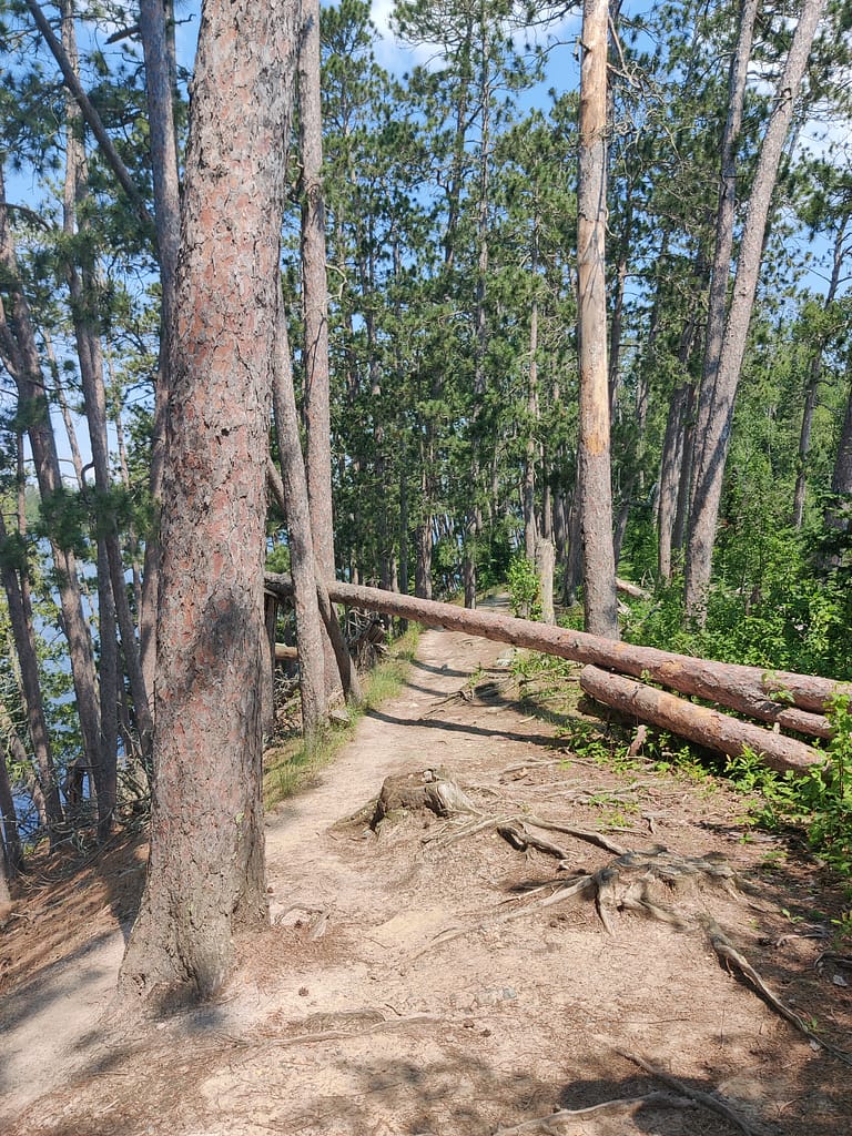
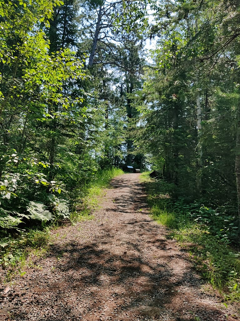
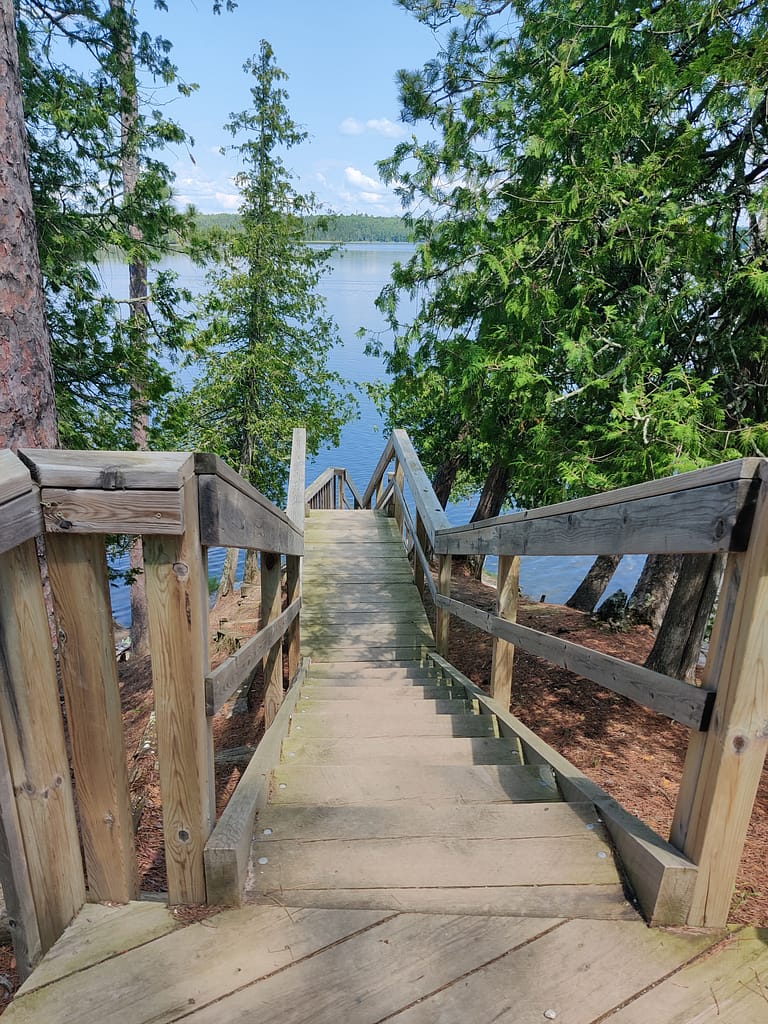
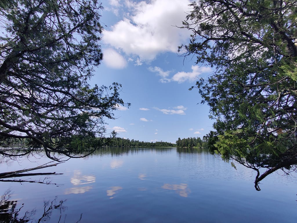
The Chase Point Trail is a two mile out and back type trail that was once a river channel that flowed beneath a glacier 10,000 years ago (aka an esker…new word for me). There is about 68 feet of elevation. It is a dirt trail with plenty of rocks, roots, and uneven terrain to maneuver. The incline at the start of the trail had out glutes burning, for sure. While the trail is fairly wide the majority of the time, if you were to fall there is a good chance you’d roll down the hill and end up in the lake. If the trees don’t stop you, that is…
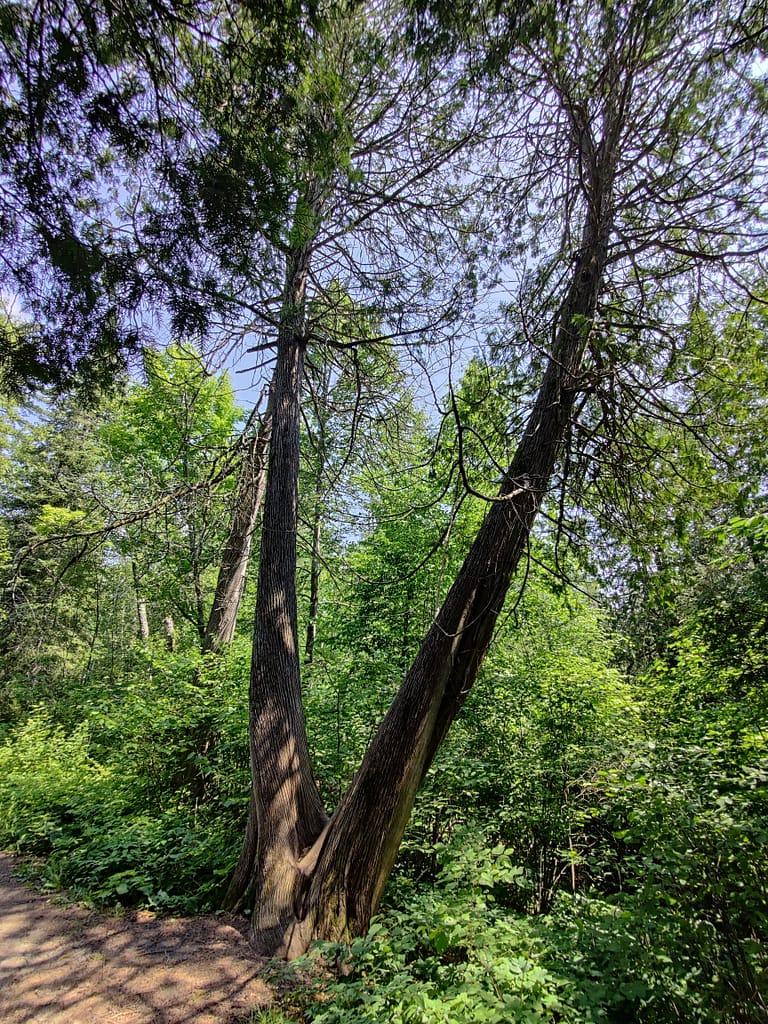
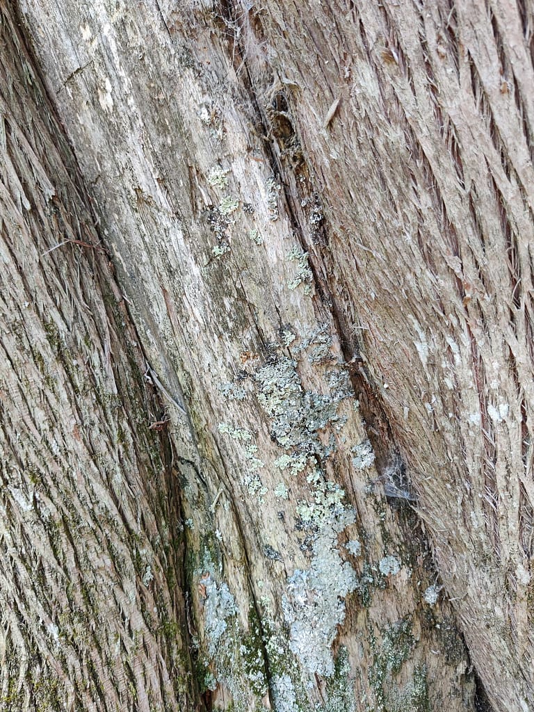
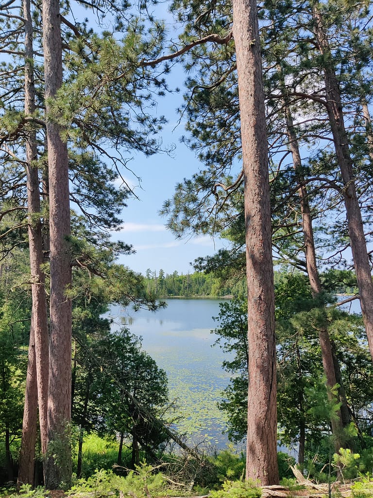
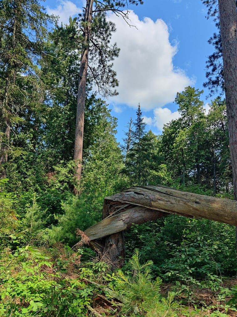
Speaking of trees, the diversity was amazing to see up close. Like I said above, this forest is an LMF and it was super cool to see all of the different types along the trail. It isn’t something that I’ve seen on my travels before and I am glad to have experienced it’s beauty. There was a wide variety of plants too! Thanks to all the rain we’ve gotten lately, things were thick, lush, and brightly colored. Also, thanks to the rain and thick vegetation, MOSQUITOS. They were horrible in the thickest portion. There were legit warms on us. I think it would have been another case of bug spray be damned if I would have remembered to wear it.
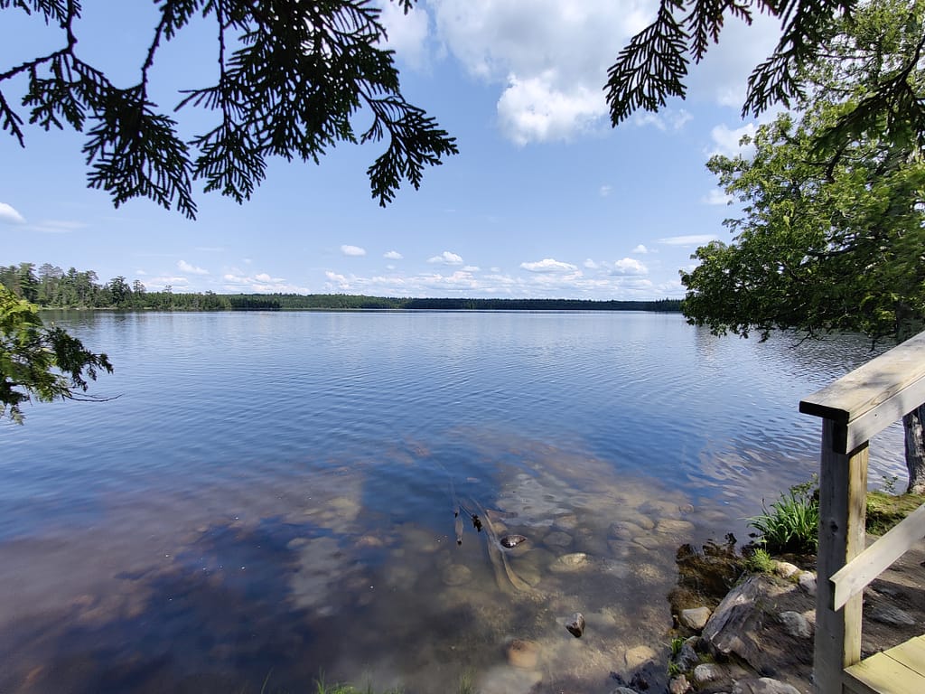
We did see quite a few people and their four legged friends, but it’s wasn’t crowded by any means. They were all polite and remembered trail etiquette. At the end of the trail, there is small beach where you can dip your toes into the water. We saw a family doing just that and letting the little fish nibble on their toes. Not sure what type of fish it was, but we did see some bluegills in the area. That isn’t something I’ve done, but know people who have. It’d be a strange experience for me and I probably wouldn’t let it happen.
My rating
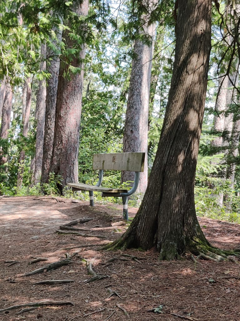
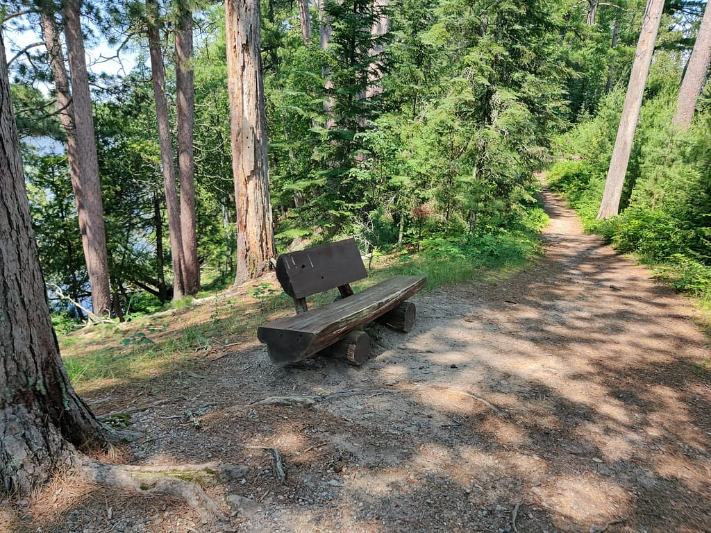
This trail would fall into the moderate category on my rating scale. (My hiking buddy said they found it easy) Like I said, there were inclines throughout and they had me huffing, puffing, and taking breaks. There were a few benches along the way to rest and see the view, so that is helpful. The ground is uneven and filled with roots and rocks. I definitely tripped a few times, but did not come close to falling down the hill and into the drink. I attribute that to my everyday clumsiness and ability to right myself overall.
Other thoughts
I was originally supposed to go camping here, but ended up cancelling it because I did not feel physically or mentally up for it. It sucks, but sometimes that’s how it is. Listening to your body and giving it rest when it’s begging for it is super important. There will be another opportunity to check this campground out.
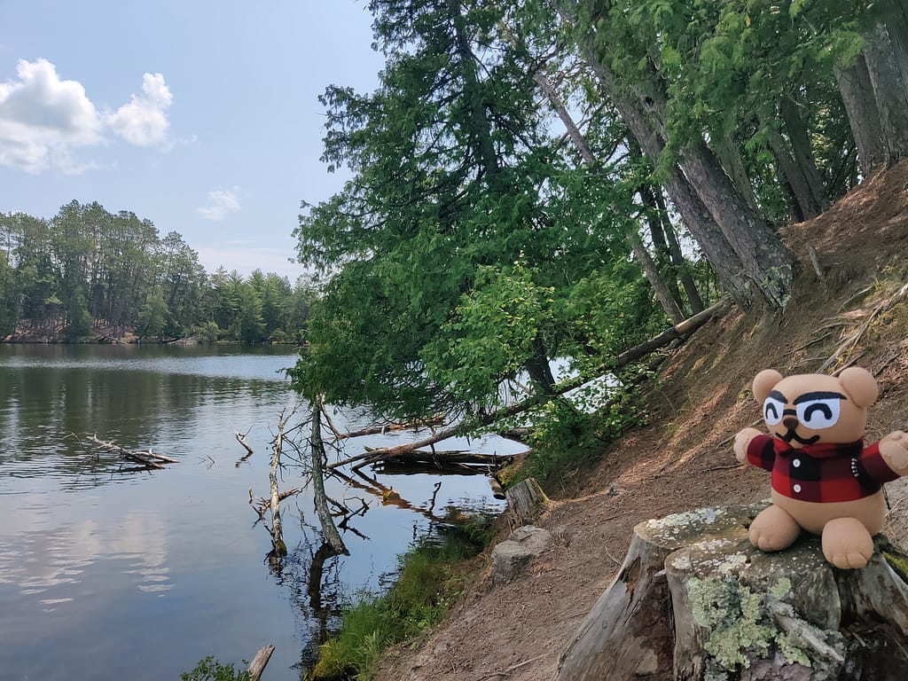
Do you spy Currently Unnamed CardyBear? If you spot him, put FOUND in the comments 😊
Be safe out there! REMEMBER YOUR MAPS AND PASSPORT STAMPS!! Seeyalaterbye <3
Also, if you feel called to help a sista out with her travels, check this out!
