Park Info
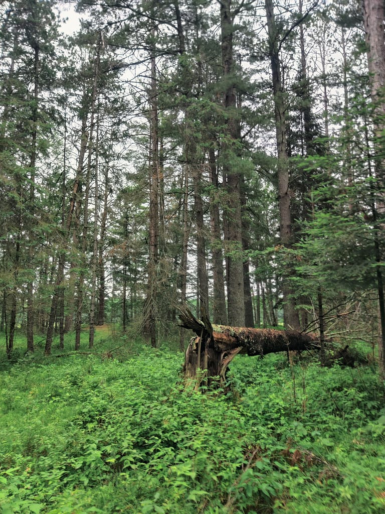
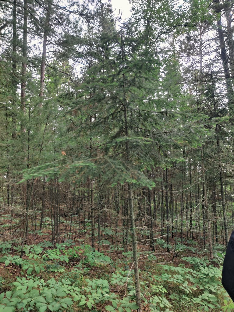
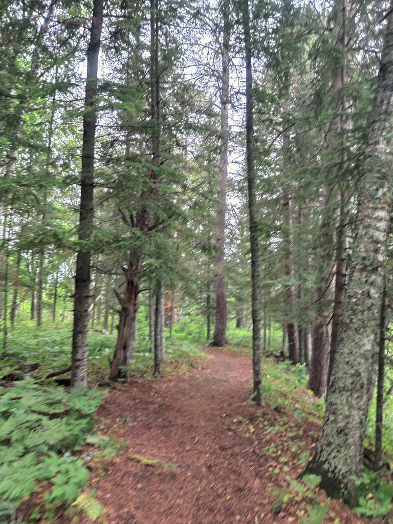
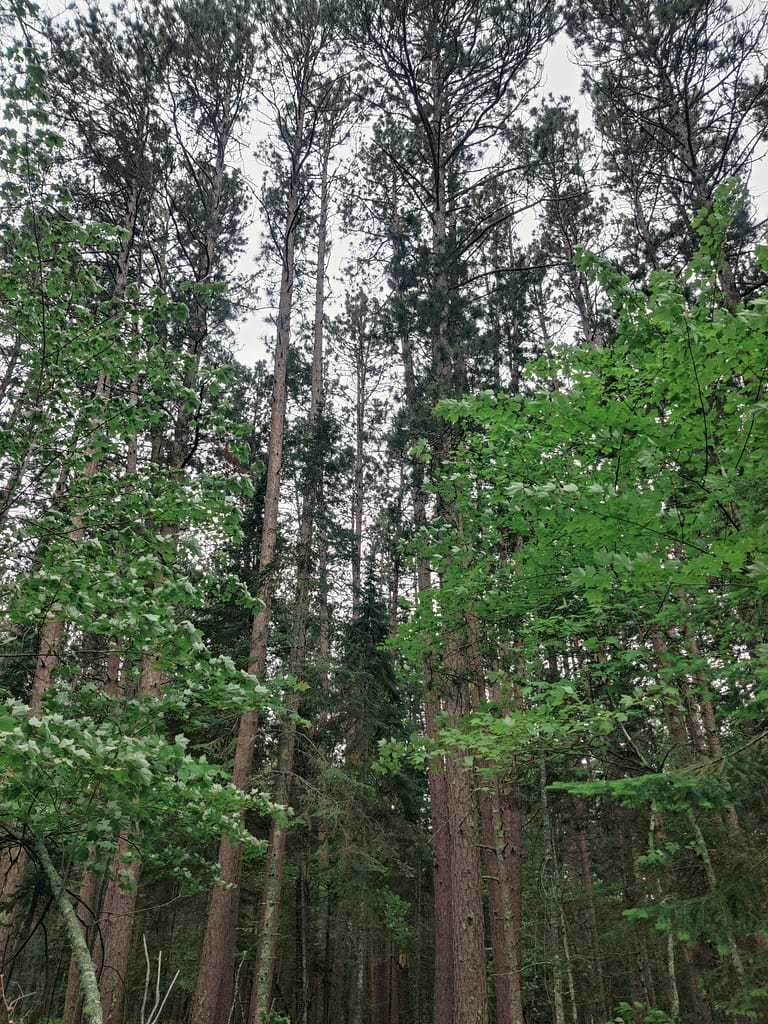
Schoolcraft State Park is a 225-acre escape from the hustle and bustle, located in the north woods of Deer River, MN. Since it is secluded and filled with trees and pine needles, which work wonders to filter noises, it’s a great choice if you’re aiming for a quiet and peaceful trail system. The trails take hikers through virgin pine forest that is home to red, white, and jack pine, as well as spruce and fir trees. One of the white pines is 300 years old (which is amazing all on its own)! There are also interpretive signs along the way so you can learn something new about the area while you’re enjoying the sites.
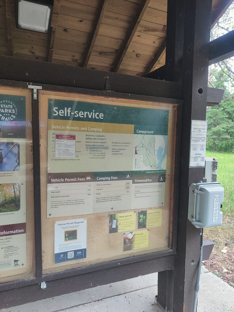
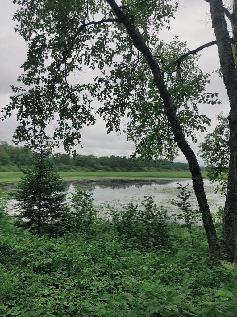
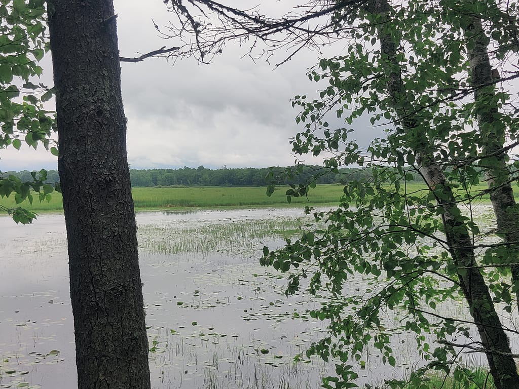
Aside from hiking, canoeing and kayaking are available with a boat access right on the Mississippi River; drive-in campsites (no electric); and a picnic area for eating after a long day of activity. In the winter, snowshoeing is welcome throughout the entire park! If you’re looking for wildlife, this area is known for white-tailed deer, migratory birds, and waterfowl. If you’re looking to just chill along the water, the shores of the Mississippi, this is a great area for it. You can watch the sunrise amidst the grasses, wild rice, and all of the white and yellow water lilies (another favorite of mine).
There is so much to see and learn about this amazing park, so please check out the website and check out the kiosk at the entrance when you go!
Here are a few history fun facts I took directly from the MN DNR website for trivia night:
- The park was named for Henry Rowe Schoolcraft, who along with Anishinaabe guide Ozawindib charted the headwaters of the Mississippi River.
- It was from Schoolcraft’s writings that Henry Wadsworth Longfellow gathered the material for “The Legend of Hiawatha.”
- On the field at the southern end of the park is the site of the first recorded homestead in Torrey Township, a well-known stopping place for early river travelers and lumberjacks who worked the river.
All of this info came from the Minnesota Department of Natural Resources website, so credit where credit is due. Click here to view the original source.
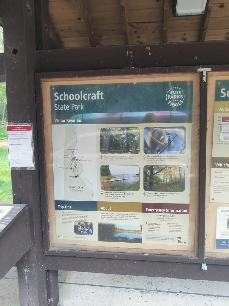
Accessibility of Facilities
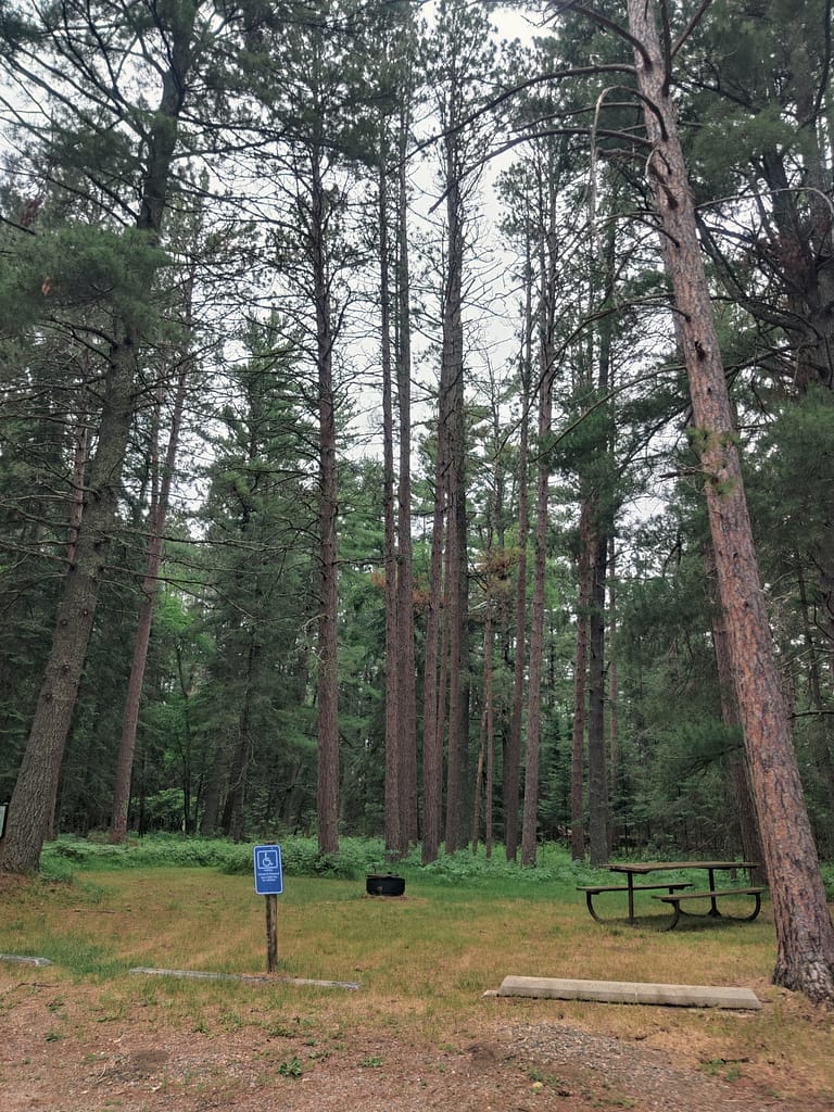
- The parking situation by the picnic area is well marked on the map and easy to find once you look for it. It is a grass and gravel pad, but the spots are clearly marked with those concrete things that scratch the underside of your car if you pull too close (I can’t for the life of me remember what they’re called, so if you know drop a comment). Handicap spots are available. The ground was fairly even, so if you’re okay with gravel, you should be good to go.
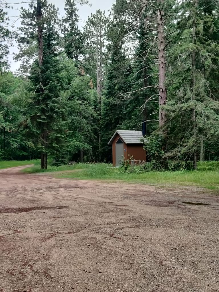
- In the picnic area, there is a vaulted toilet that is clearly marked and visible. I didn’t use it myself (the bugs were bad, and I wasn’t feeling potential mosquito bites on my bum). It did look large enough on the outside to be accessible, but there were no door buttons. With this being a rustic park, there are no modern bathrooms.
- Getting to the trail was simple from the picnic area. It was right off the parking lot and marked with a map.
Trail Info
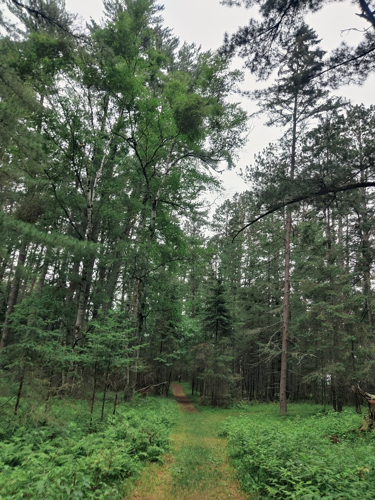
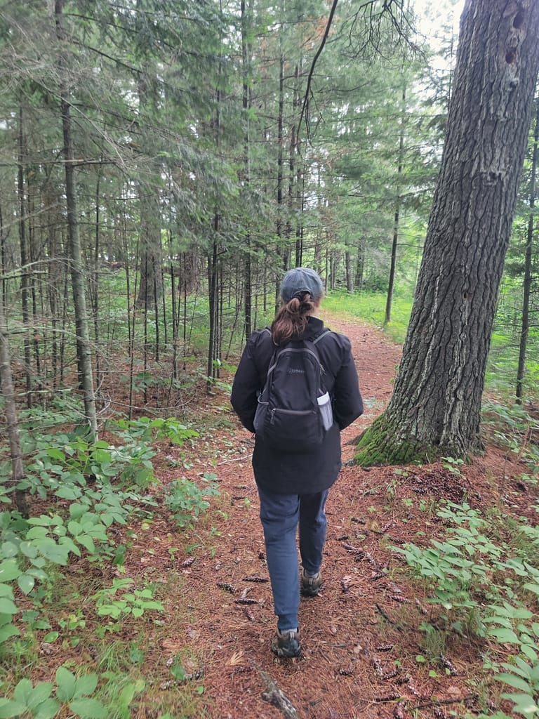
There is one big trail here that has several spurs. It was well groomed, but it was a dirt trail. Well, it was covered in pine needles, so we’ll call it not paved. I liked how it was clearly marked with a map at each fork/spur trail access. No getting lost for my directionally challenged self.
It was just as quiet as promised and would have been just a peaceful if it weren’t for the mosquitoes. They were bad enough for me and my hiking buddy to tap out early. We didn’t get to see much, but the trees and the river we did see were beautiful. I would suggest coming to this park in the fall when the bugs won’t be as bad. The colors would also be amazing during that time of year. I am a little bummed because I was going to hunt for that 300 year old white pine, but there is always next time. (I found out how to identify it here.)
Despite spending little time here, I would say the portion of the trail we did fell into the easy category on my rating scale. It was well maintained, little rocks and roots to maneuver around, and the trail was fairly wide. I can’t vouch for conditions on the other end, but will update when I get there next time.
I’m also going to note that we did this trail on our way home, so there was some fatigue from tearing down camp and loading up the car (and kayak) on my part. The air quality index was also in the orange, which if you have to be aware of things like that, you know it makes an impact. I definitely felt it.
There is so much more to share about this trip, so I decided to split it up a little to make it easier to read (and for my fatigued self to write), so keep an eye out for the next two installments where I tell you all about the campground we stayed at and the kayaking portion of the trip.
Be safe out there! If you have stuff to say, comment below :) REMEMBER YOUR MAPS AND PASSPORT STAMPS!! Seeyalaterbye <3
We are going to continue playing a game of I Spy with my new hiking buddy, Currently Unnamed CardyBear. He did not make an appearance in this post, but will definitely be featured in the next two.