Park Info
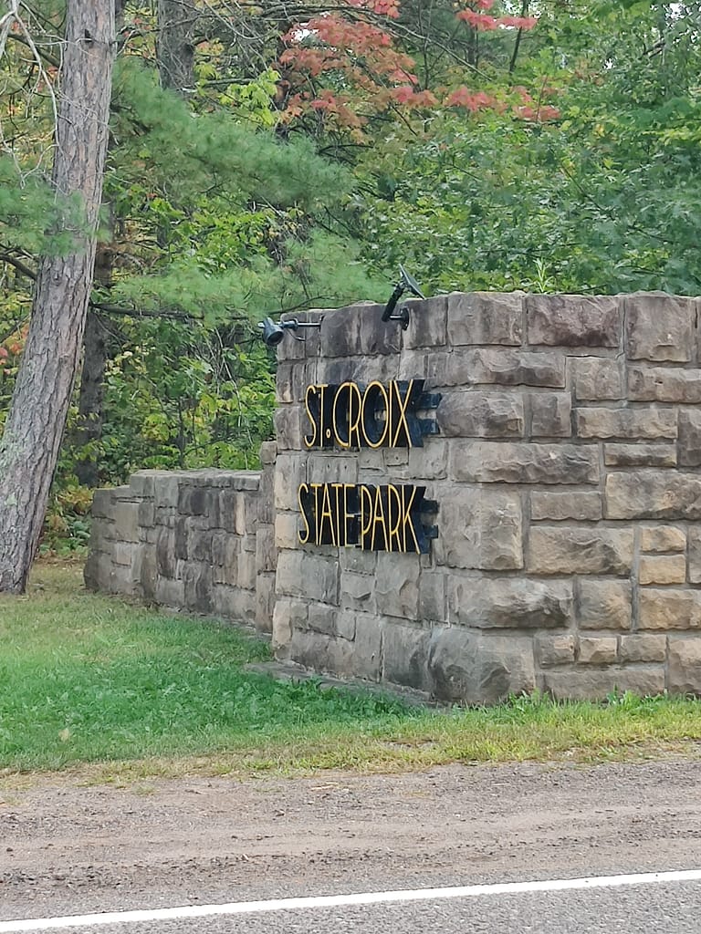
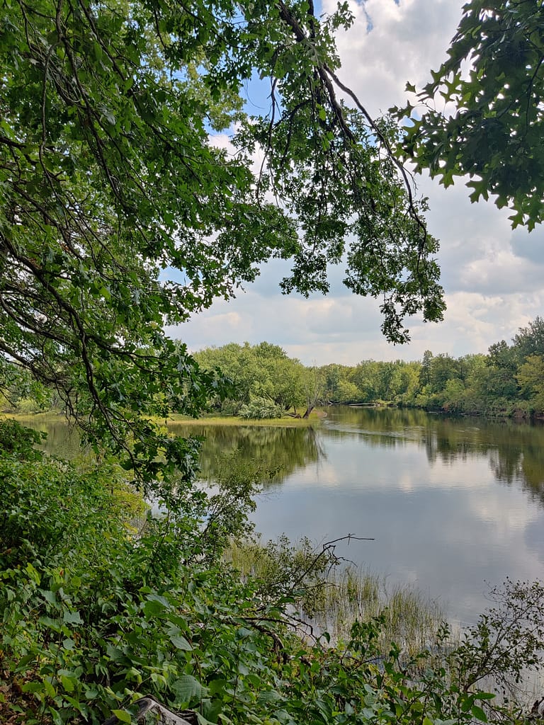
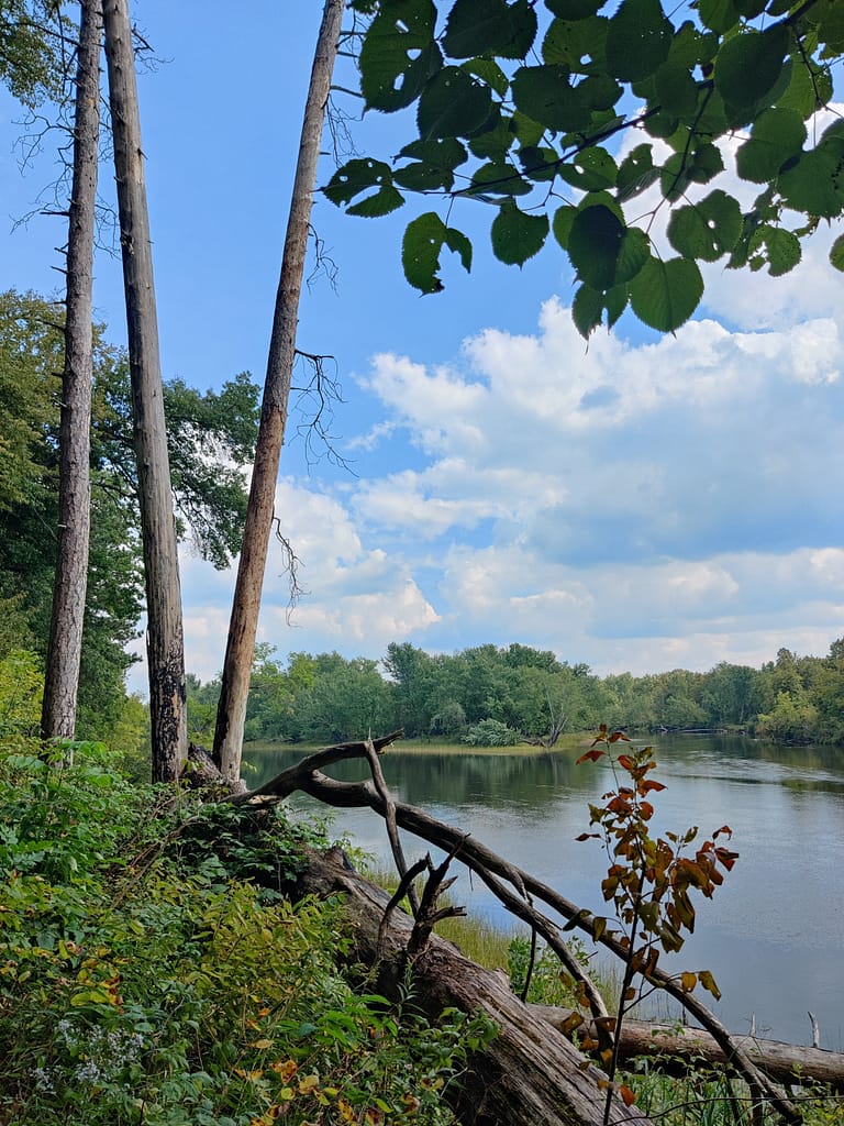
St. Croix State Park is located in Hinkley, MN and has over 34,000 acres and two rivers to explore. Amenities offered here include a park office, visitor center, naturalist programs, a historic site, gift shop, and equipment rentals. Recreation facilities include a picnic area, picnic shelter, playground, volleyball, horseshoes, swimming beach, and a trail center that doubles as a warming house for those here in the winter months.
There are miles and miles of trails to explore for hikers, horseback riders, bikers, snowmobilers, and cross-country skiers. Hiking alone has 127 miles of trails that run both along the river and through the park. A mile and a half if it is wheelchair accessible and self-guided. If biking is your thing, you’re in luck. A 5.5 mile paved bike trail starts from the campground and runs to the lake and there are 21 miles of mountain biking trails inside the park. Want to trail ride? There are 75 miles of horseback riding trails to check out so bring your trusty steed and have some fun.
In the winter, there are 11 miles for cross-country skiing. The trails are labeled as easy, and they wind through the woods and along the river. Snowshoeing is allowed throughout the park, but you must stay off the groomed trails. Snowmobilers have 80 miles of trail to ride on. The trails connect with other state forests, so you can see a large area while you’re out and about.
If you’re looking for camping/lodging, the park has a ton of sites. There are 211 drive-in sites, electric sites, backpacking, walk-in, canoe, and horseback sites. Group camp, group center, cabins, and guest houses are also available. A little something for everyone here.
All of this info came from the Minnesota Department of Natural Resources website, so credit where credit is due. Click here to view the original source.


Accessibility of Facility
Parking at the park office is located behind the building on a dirt lot. At the visitor center, where the trail I took is located, there is parking with handicapped spots.
Bathrooms are at both the park office and visitor center. A vaulted toilet is at the park office. It was accessible in size and with grab bars. I didn’t use the bathrooms at the visitor center, but being inside the building, I’d say they’re modern.
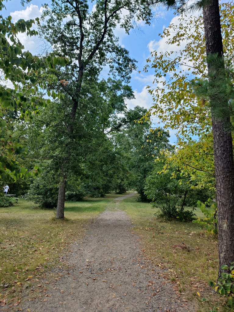
Getting to the trails was fairly simple once I figured out where the trailheads were and which direction I needed to go. At the park office, the signs didn’t point to any specific trails, just the popular areas. I went to the picnic area/visitor center and went from there. I found signs and maps, but the trail I chose didn’t have a clear sign with its name. Thanks to AllTrails, I found what I was looking for.
Trail Info
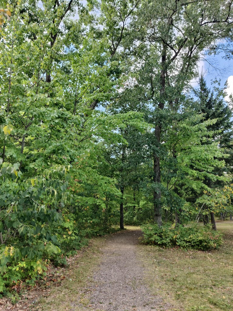
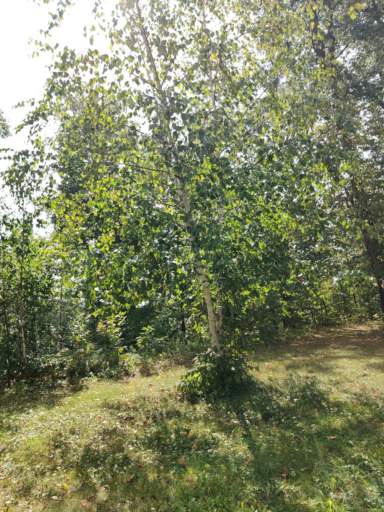
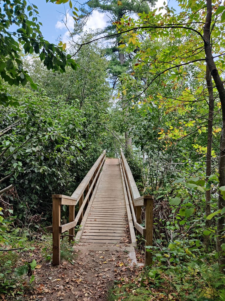
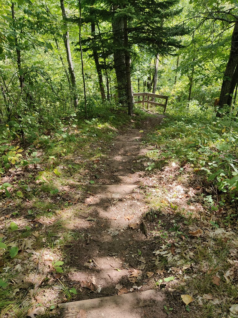
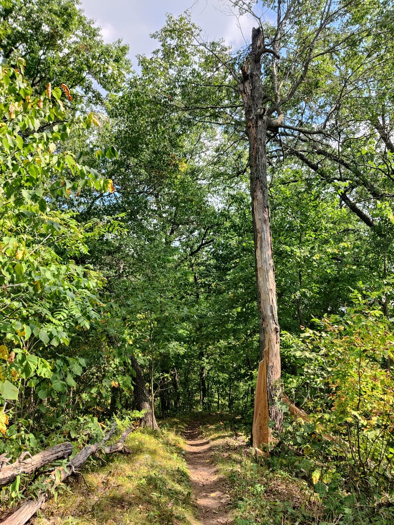
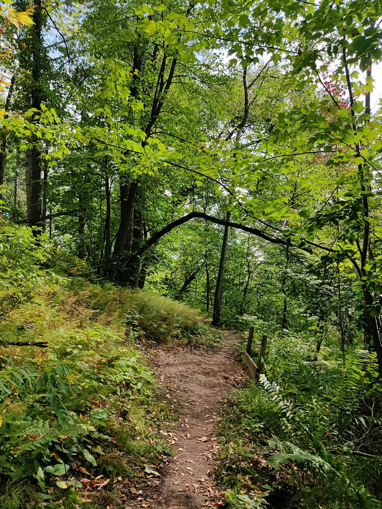
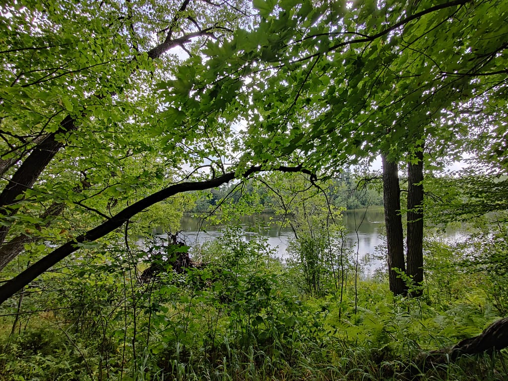
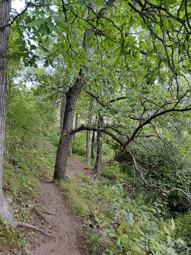
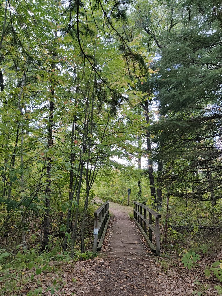
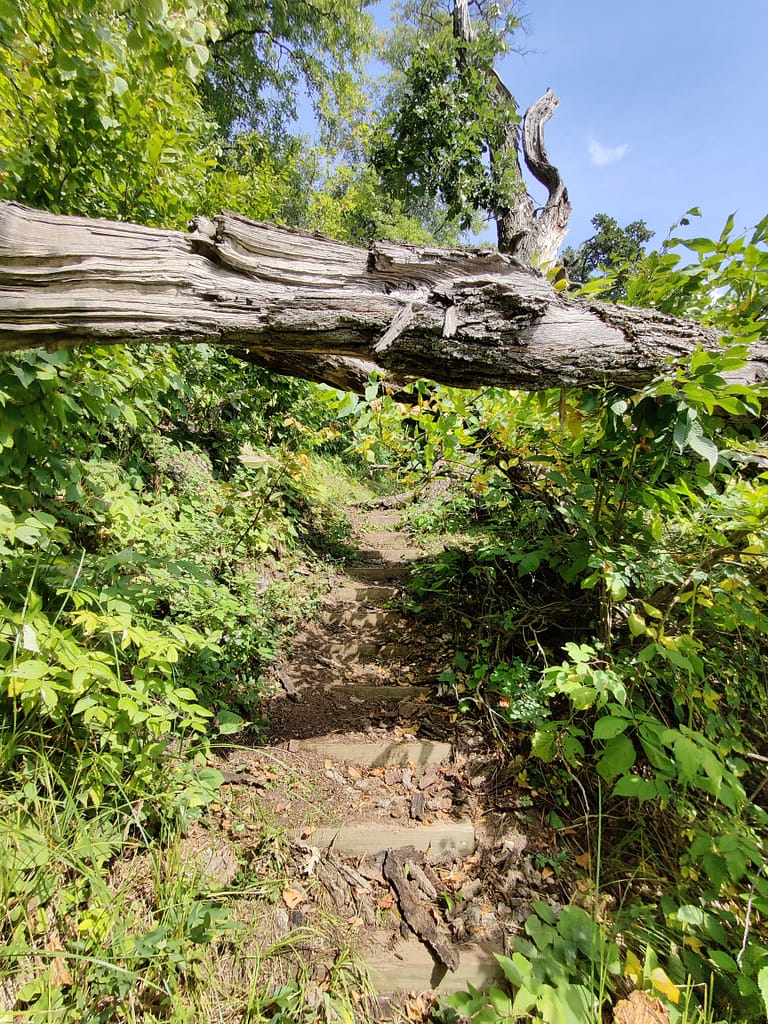
The River Bluff to River’s Edge Loop is 4.70 miles in length and has 101 feet of elevation. I did about 1.40 miles and 52 feet of elevation because the full length was too much. It starts off the parking lot on the trail that says Bike and Hike Trail. It starts out as a gravel path and turns into a dirt/sand trail. It is flat in the beginning and turns into a diverse terrain, including bridges, sand, mud, stairs, and some of the most uneven terrain I’ve done in a while.
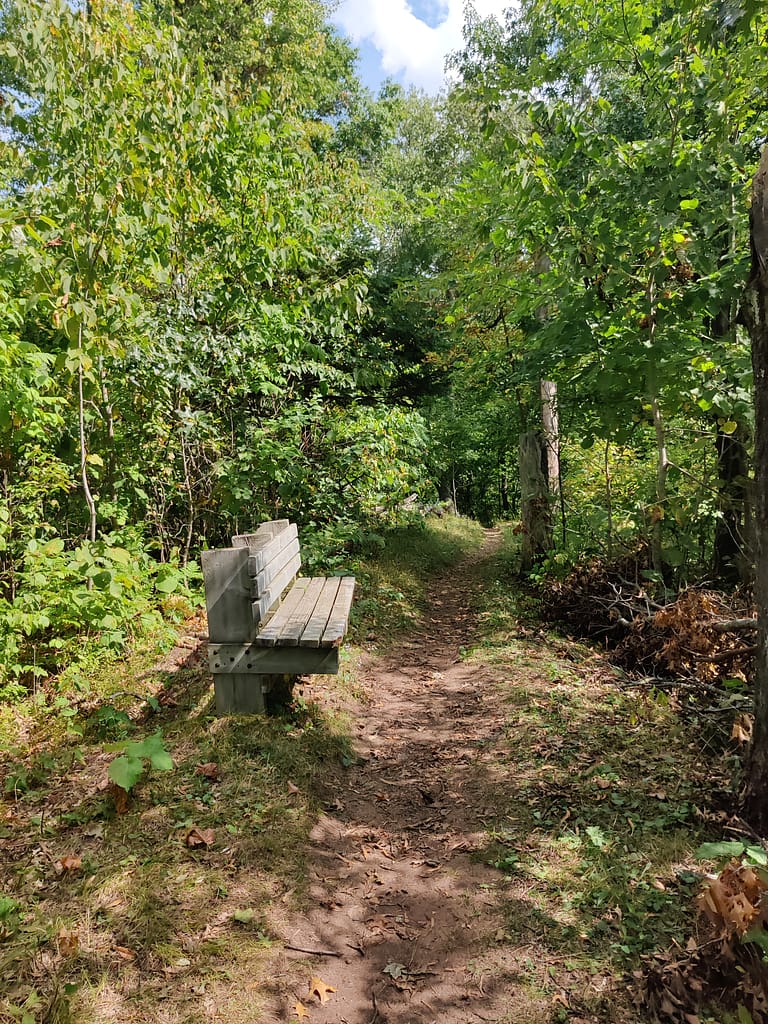
I should have brought my sticks, but got through without. They would have helped a lot. There was one bench after the first bridge at one of the loop back points for resting, but nothing after that.
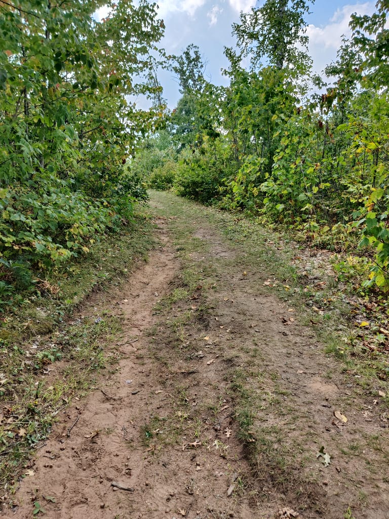
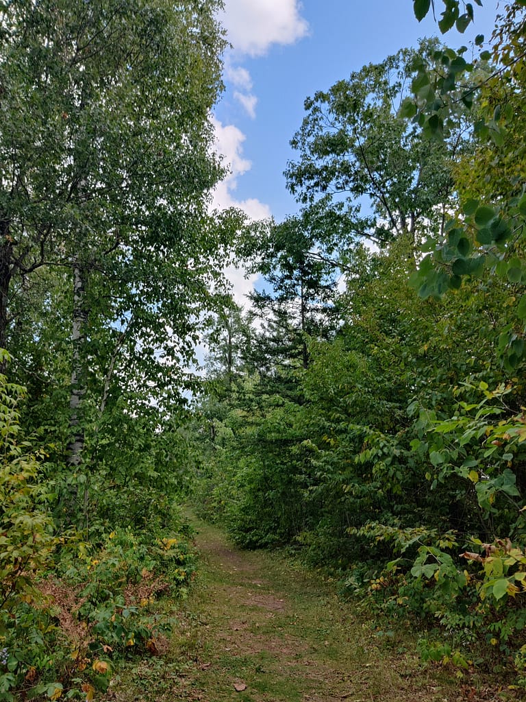
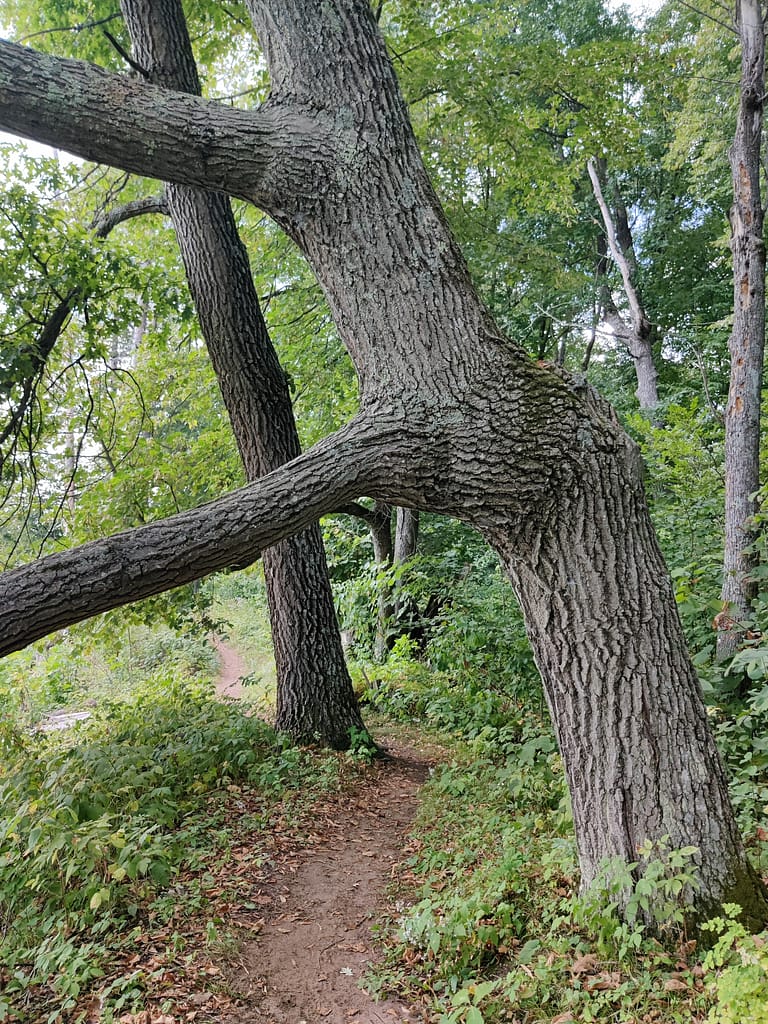
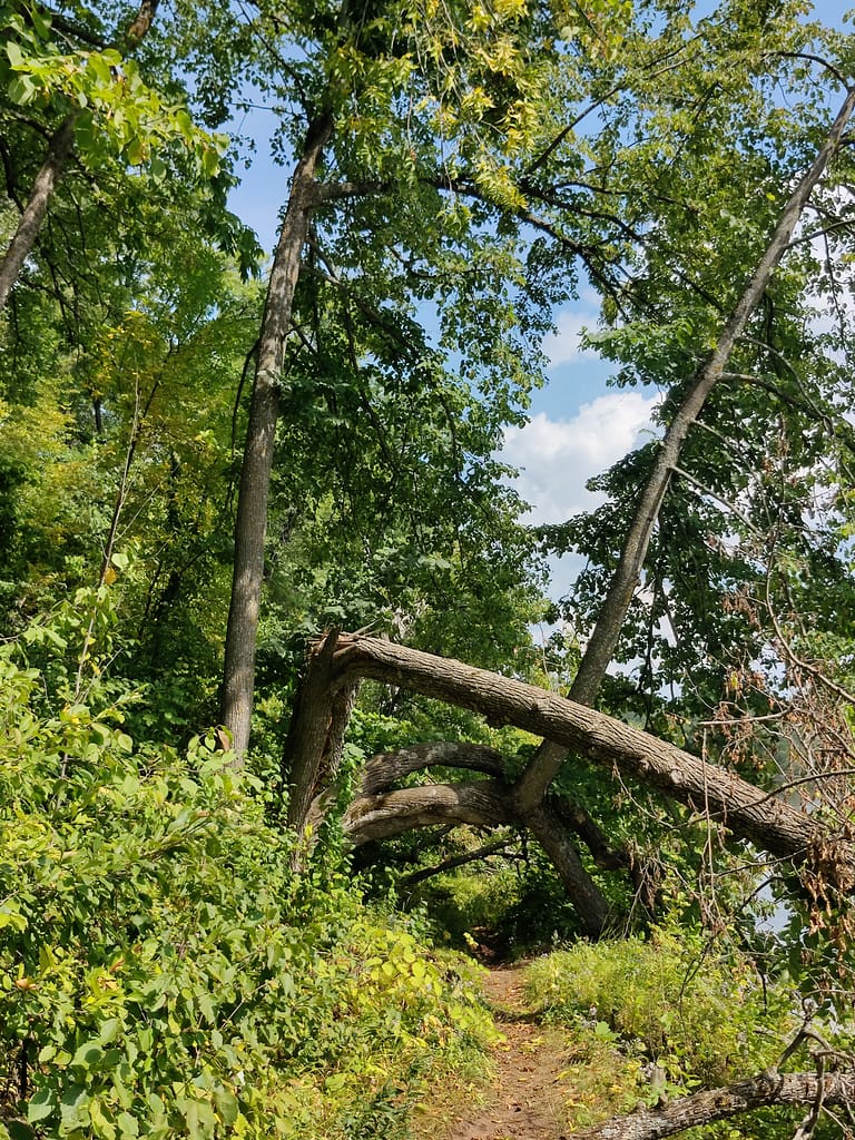
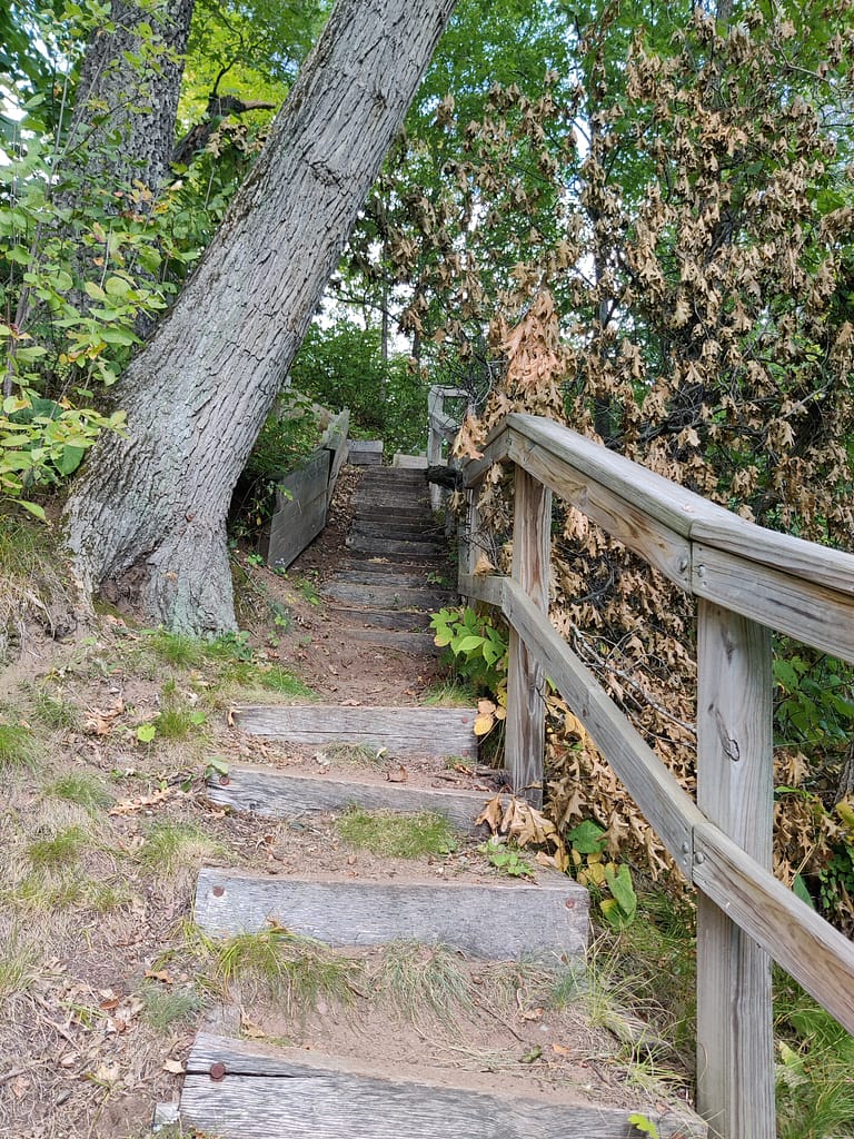
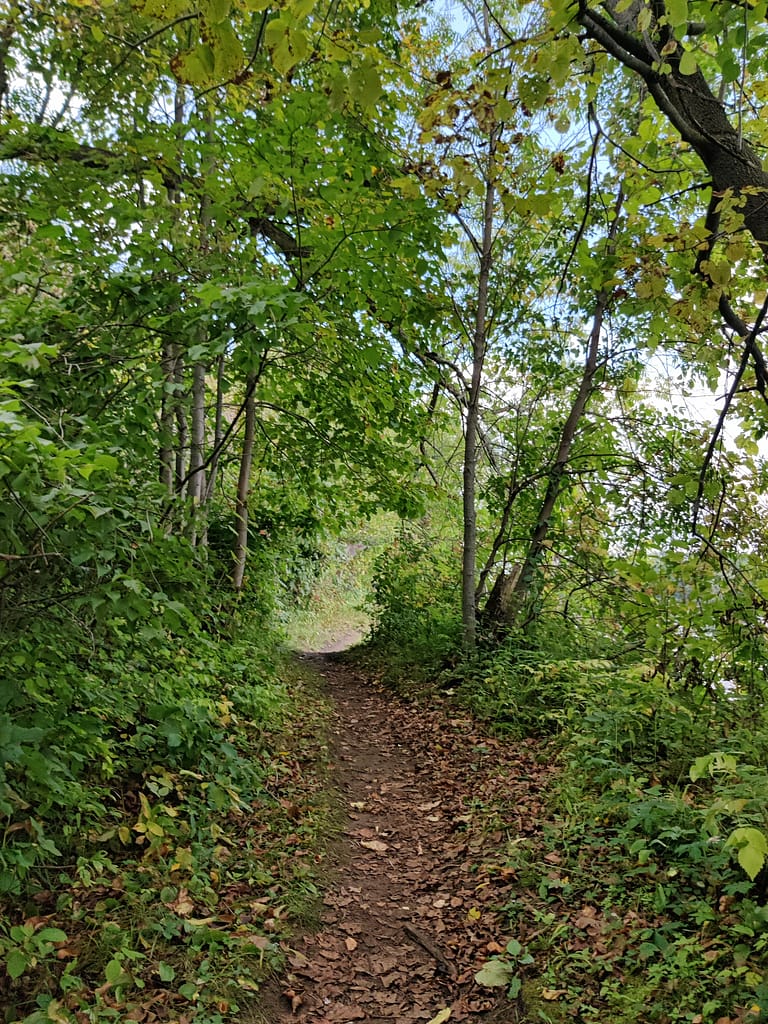
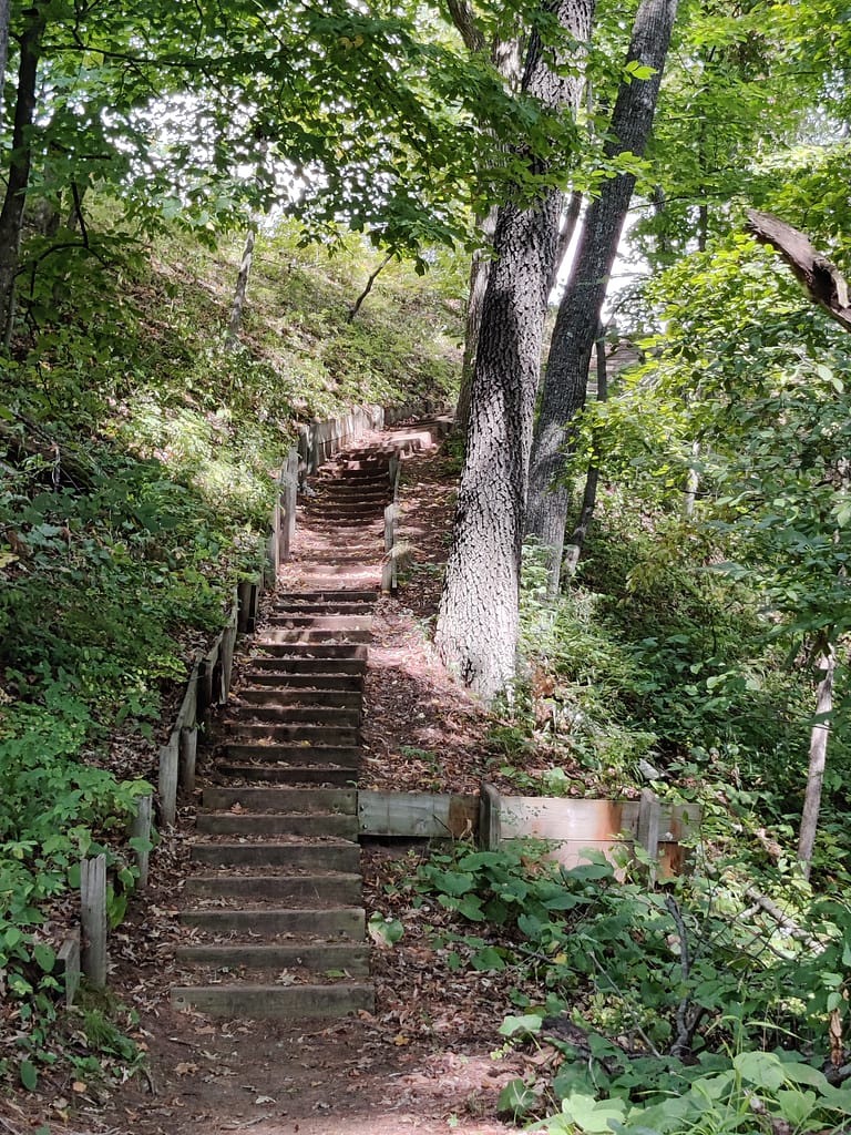
The loop back portion that follows the river is challenging and not for those who are unsteady on their feet. It is narrow and uneven, so balance is important. There were a bunch of inclines, roots, stairs, squishy mud, and trees to maneuver around. You’ll see a large set of stairs near the end, take them! I said screw those stairs thinking I could get back to the parking lot by staying on the path and not using stairs.
I was wrong and ended up on stairs, crawling under trees, and on part of the path that should have been marked closed. Once I got to the top, I saw it was blocked off in a way, but something should have been at the bottom too. I could have turned back, but I was so close to the endpoint I just went with it.
The mosquitoes were definitely around, and me without my bug spray. I had it with me, but I forgot both to apply it and take it out of the car. Pretty on par for me, to be honest. Don’t be like me!
I would rate this one as moderate to hard on my rating scale. I was short of breath for most of it and was coughing mildly by the time I got back to the top. To be fair, I was fatigued some when I started, so that didn’t help, however, my rating would not change. It was a challenging trail in both terrain and length. I 1000% ate hike meal when I got home.
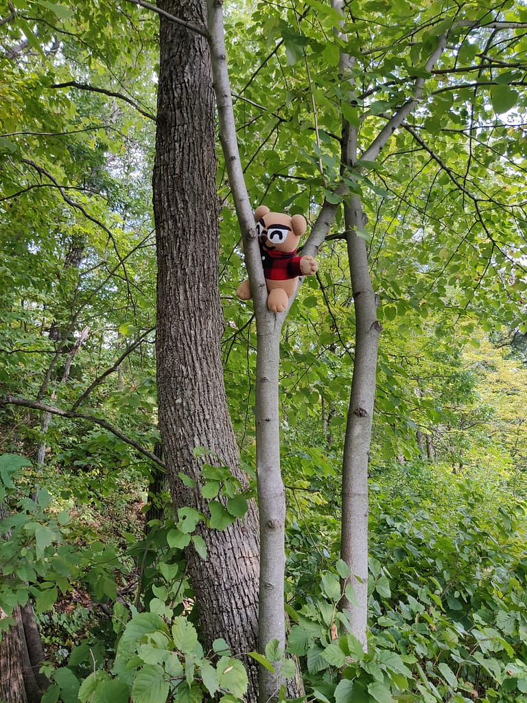
Do you spy Currently Unnamed CardyBear? If you spot him, put FOUND in the comments 😊
Be safe out there! REMEMBER YOUR MAPS AND PASSPORT STAMPS!!
Seeyalaterbye <3
Also, if you feel called to help a sista out with her travels, check this out!