Park Info
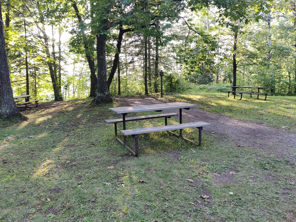
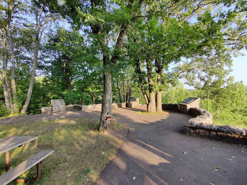
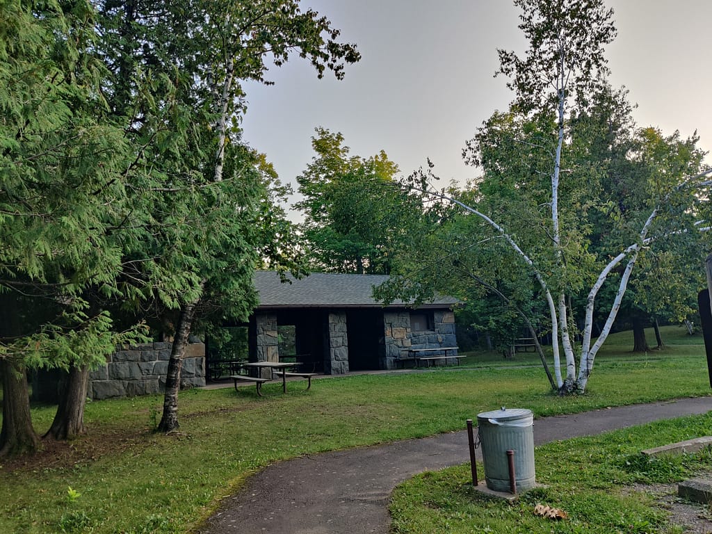
Jay Cooke State Park is located in Carlton, MN along the St. Louis River and consists of 8,125 acres. One of the most iconic sights of the park is the Swinging Bridge. If you want to see some cool history in picture form of the bridge, make sure to check out the MN DNR website linked below. This park has a park office, visitor center, interpretive exhibit, naturalist program, several historic sites, two picnic shelters, a warming house, and a gift shop.
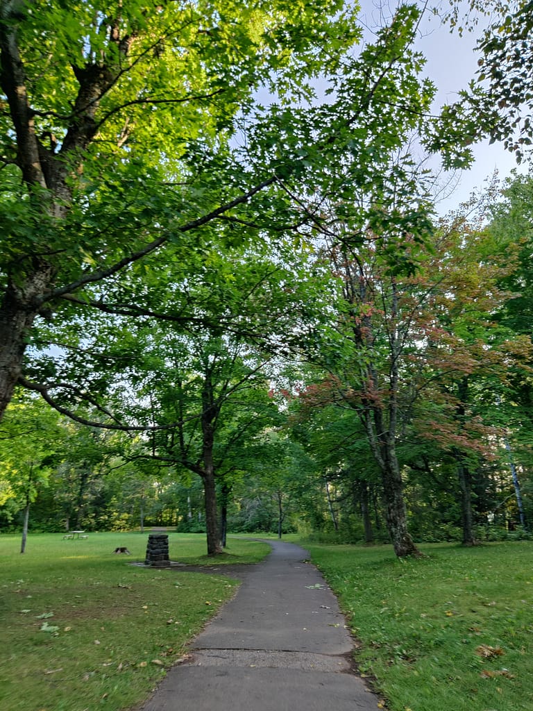
If you’d like to hike this area, there are 50 (yes 50) miles of trails to explore. The trails vary in levels of difficulty and can be both paved and natural. There is only a half mile of hiking trail that is wheelchair accessible, however, there is a paved bike trail that could potentially be utilized. I have walked it before, so it isn’t just for bikes. There is both paved and mountain biking trails, as well as horse trails if you are looking to go for a ride. In the winter months, you can cross-country ski, snowmobile, and snowshoe.
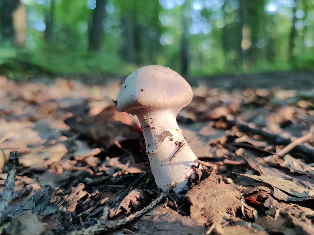
When it comes to wildlife, you have the chance to see white-tailed deer, black bear (I have a few stories…), timber wolves, coyotes, and several types of smaller animals. The park is home to 173 species of birds, including piliated woodpeckers, marsh hawks, and blue heron; and 16 different species of reptiles and amphibians. The website doesn’t mention anything about fishing, but you can fish here. I know there is some good trout fishing in part of the river and have seen several people trying their luck.
If you’re looking to camp, there are many options, just like the other parks on this summer’s list. There are drive-in, pull-through, electric, backpack, walk-in, and a few wheelchair accessible sites. Group camping and camper cabins are available as well. I haven’t stayed here, but I have walked around the campground on a trail in the past. It looks like a nice place to stay with tree coverage. It’s worth checking out if you’re in the area.
All of this info came from the Minnesota Department of Natural Resources website, so credit where credit is due. Click here to view the original source.

Accessibility of the Facility
Parking at the Visitor Center is on a paved lot with plenty of handicapped parking. The trail my hiking buddy and I had parking on a gravel lot, also with some designated handicapped parking spaces.
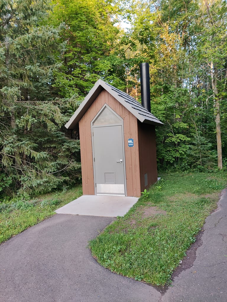
Bathrooms are available at the Visitor Center and the trailhead. The modern bathrooms are located in the Visitor Center area. I didn’t use the facilities during this trip but have in the past. There are stalls with grab bars and one is large enough for mobility equipment. At the trailhead, there is a vaulted toilet. From the outside, it looked typical for the parks.
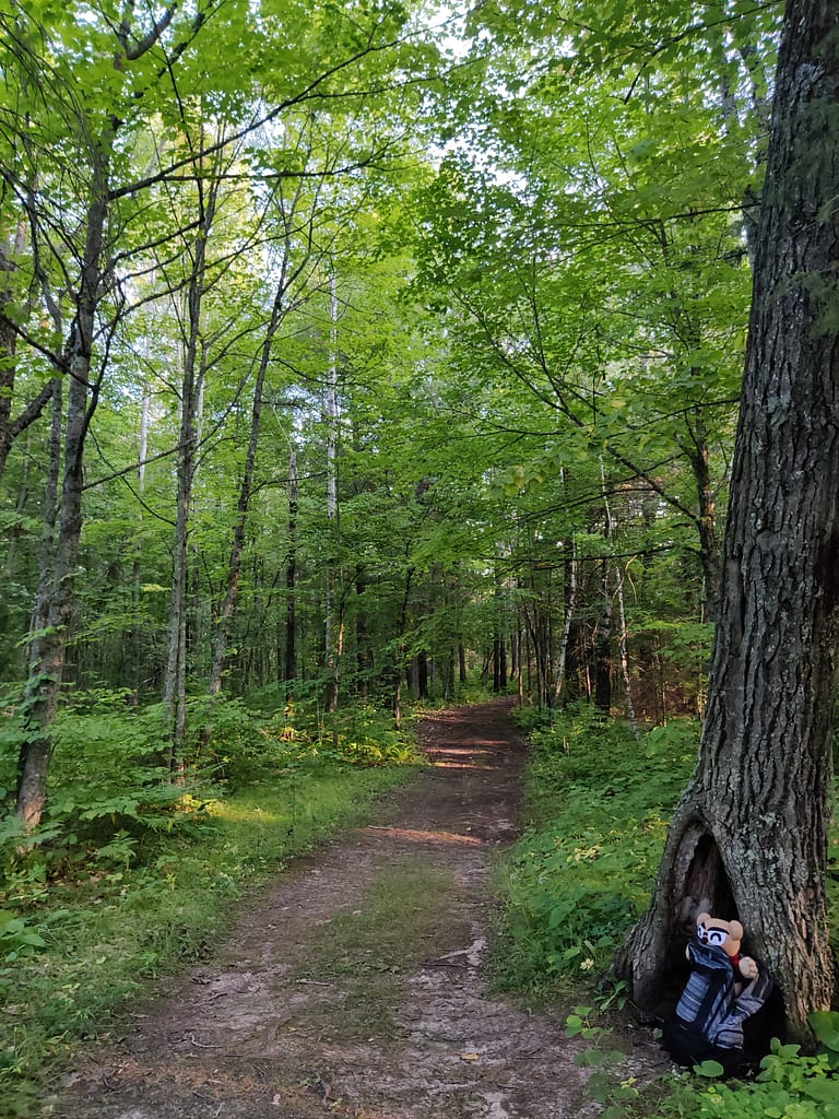
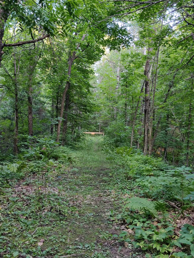
The trail was clearly marked with signage and a map visible from the parking area.
Trail Info
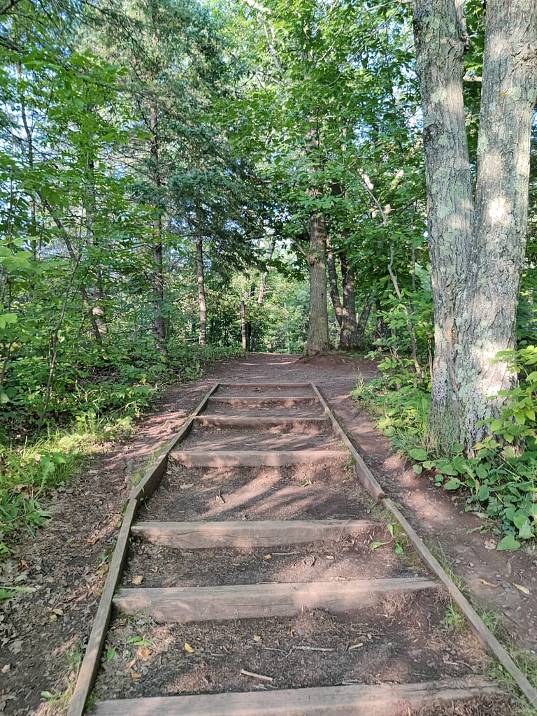
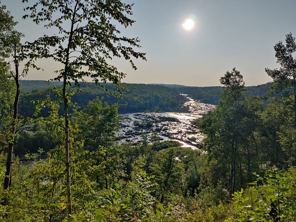
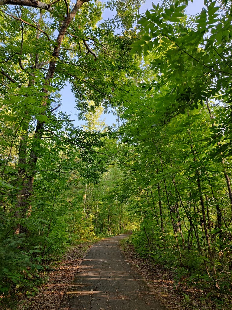
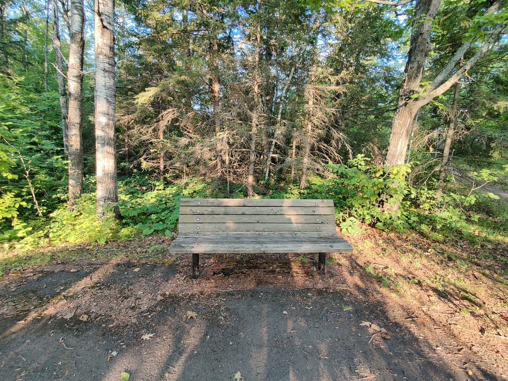
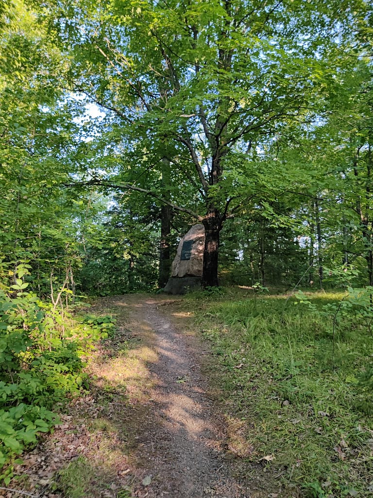
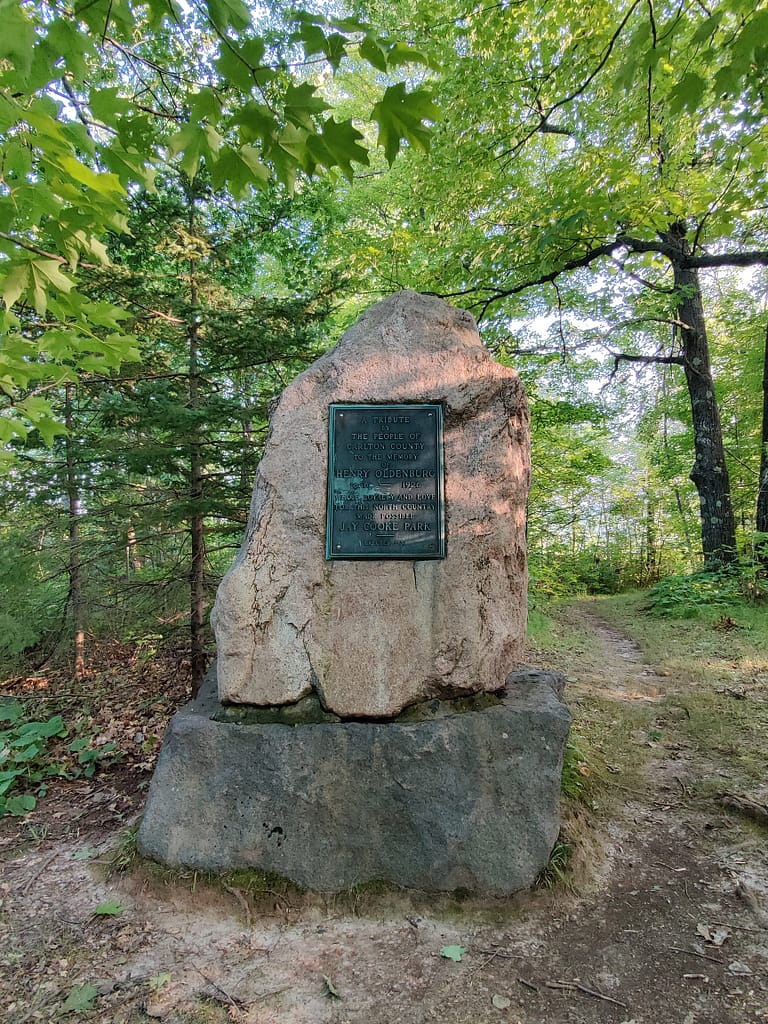
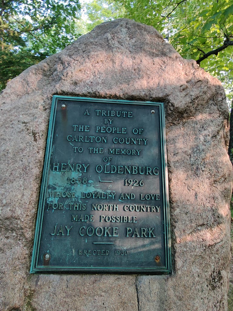
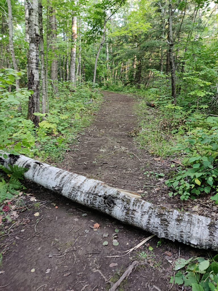
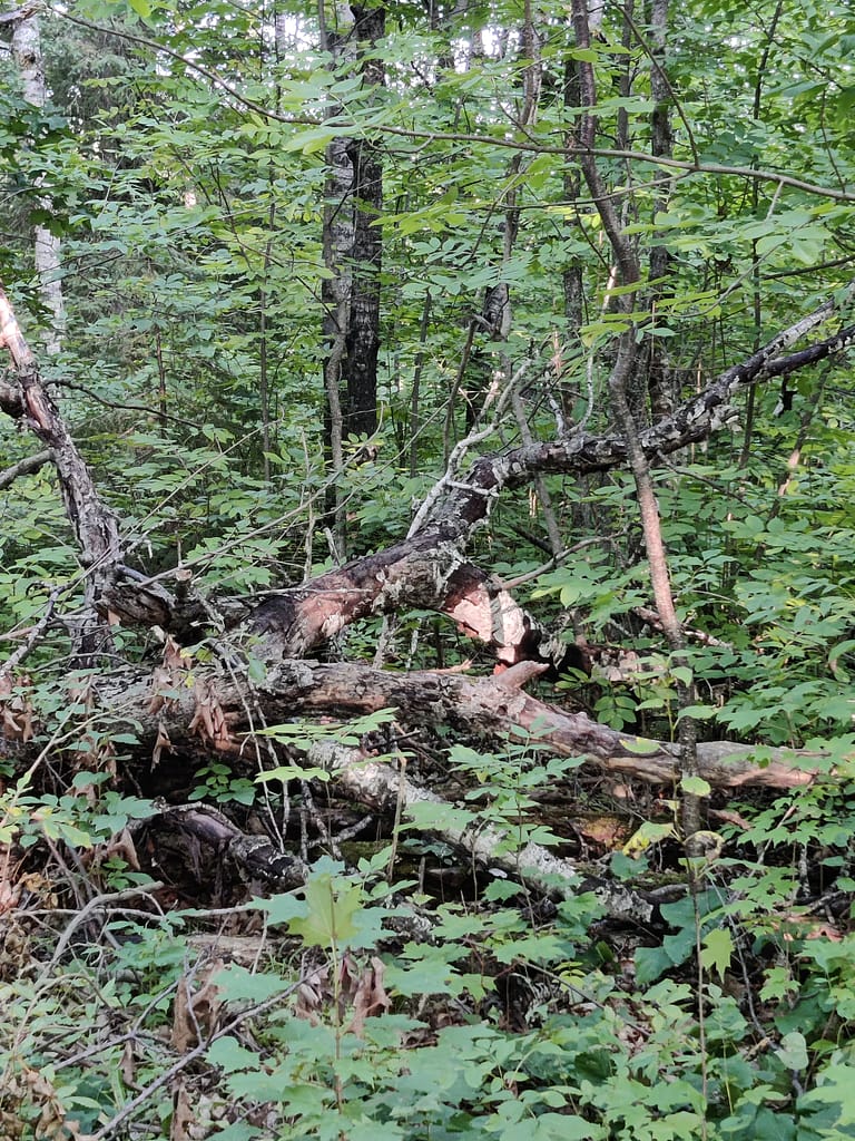
The Ogantz trail is supposed to be a 1.9-mile loop with 147 feet of elevation, but we will get to that later. It starts off as a paved trail from the parking lot at Oldenburg Point, which has a couple of beautiful outlooks, picnic areas, and history to read. The paved path is cracked and uneven in places and eventually turns into a dirt path with rocks, roots, and a down tree to climb over, so keep this in mind if it is a concern for you. To get to the first outlook, there is a short set of stairs off the main trail with a sign. These stairs are about half of the height of regular stairs and longer too. This may make them easier for some to maneuver (it was a little awkward for me, but it was a non-issue).
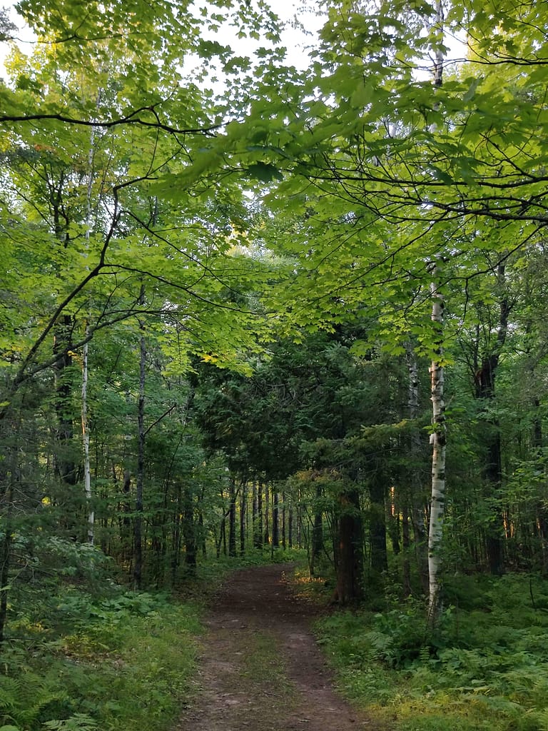
At the beginning of the dirt trail, there is a map for directions if needed. At this point, the paved trail does loop back to the parking lot, so there are options. We chose the dirt trail, and it was a decently maintained jaunt. The decline was steep, but doable. There was no sliding down or loose footing. I did make a comment about how I hoped the hill on the way back was less steep (we know inclines are the bane of my existence), and well, the second part of the loop was blocked off and closed. We did see that posted a trail closure near the second outlook but thought it was for a different portion. We were wrong…
I struggled to get up the hill, needing to stop a few times to catch my breath and cough. I almost grabbed my inhaler, which is something I rarely use because I have other things that work better for me when I’m struggling. We went slow and I almost cheered when we made it to the flat area at the top. I was fine by the time I got to the car, aside from my energy being depleted, so overall, I would call it a success. One that I likely won’t repeat anytime soon, but a success, nonetheless.
This trail definitely fell into the hard category of my rating scale. I was having some shortness of breath earlier in the day, so that affected my performance, but that hill would have been that big of an issue for me either way.
Do you spy Currently Unnamed CardyBear? If you spot him, put FOUND in the comments 😊
Be safe out there! REMEMBER YOUR MAPS AND PASSPORT STAMPS!! Seeyalaterbye <3
Also, if you feel called to help a sista out with her travels, check this out!