Hey friends! Welcome to the third (and final) stop on the inaugural trip of 2026, Lake Carlos State Park!
Lake Carlos State Park Information
Lake Carlos State Park is located in Carlos, MN within the transition zone between prairie and coniferous forest. Thanks to the glaciers, the park has woodland ponds, marshes, wet meadows and lakes, giving visitors a variety of terrains close together.
Activities
If you’re looking to hike, there 14 miles to explore! Three of those are self guided. Equestrians have 9 miles of trails to ride on.
During the winter months, there are 6 miles of groomed (ski pass required) cross-country skiing trails, 9 miles of groomed snowmobile trails, and snowshoeing throughout the park as long as you stay off the groomed trails.
If you’re looking for wildlife, one-third of the state’s 80 mammals live here. 150 species of birds too, so bring your list and check them off!
Want to spend time on the water? You can swim, canoe, kayak, and fish here!
Camping here? Well, you’re in luck. Lake Carlos State Park has 121 drive-in sites, 81 electric sites, 2 ADA accessible sites, 7 horse camp site, two group camps, group center, and camper cabins.
Other offerings
The park also offers a ranger station, visitor center, naturalist programs, interpretive exhibit, historic site, picnic area, picnic shelter, warming house, swimming beach, and volleyball. There’s also a gift shop, equipment rentals, firewood and ice sales, All-Terrain Track Chair, and color vision glasses.
All of this info came from the Minnesota Department of Natural Resources website, so credit where credit is due. Click here to view the original source.
Accessibility of Lake Carlos State Park
Parking
I parked by the beach. There is ample parking in a lot.
Bathrooms
There are vault toilets located throughout the park and flush toilets at the swimming beach. The bathroom at the swimming beach is not wheelchair accessible.
Getting to the trail
The trail started near the picnic area.
Lake Carlos State Park Trail Information
The plan was to do the Maple Basswood Trail. It’s a 2 mile loop trail with 85 feet of elevation. It’s one of the self-guided interpretive trails that runs through mature hardwoods, woodland ponds, and a meadow.
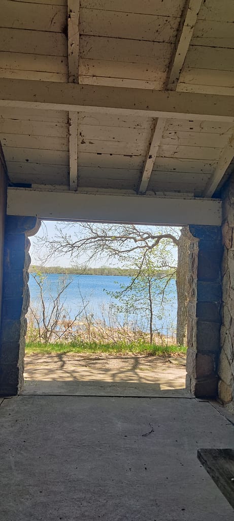
Now, like I said, this trail was the original plan. If you read the Glendalough post, you’ll know why I didn’t have it in me to do another two miles with that kind of elevation change. I still visited and hung out at the beach for a bit. If I end up back here, I will absolutely do this trail and report back.
The park has decent cell service!
Have you been here? Want to go? Share in the comments!
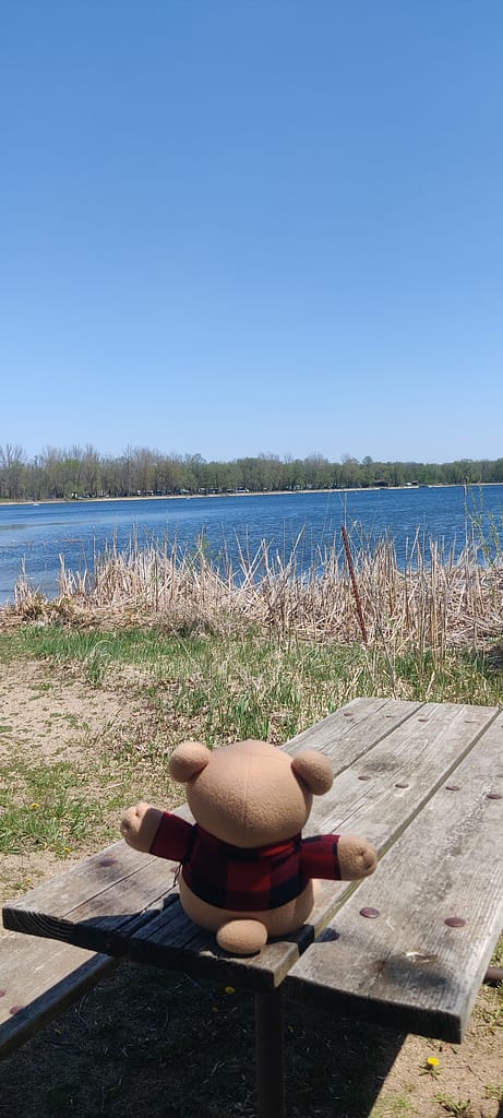
Did you find Currently Unnamed Cardybear? Put found in the comments!
Be safe out there! REMEMBER YOUR MAPS AND PASSPORT STAMPS!! Seeyalaterbye <3
Also, if you feel called to help a sista out with her travels, check this out!
 English