Park Info
Sakatah Lake State Park is located in Waterville, MN. It’s home to the Sakatah Singing Hills Trail, a paved bike trail, that goes from Mankato to Faribault. If you’re not from the area, that’s 39 miles of trail. Three miles of the trail is inside the park and the rest is a paved former rail bed.
The park offers several activities like hiking, biking, paddling, fishing, skiing, and snowmobiling. It’s also a good place to see many of Southern Minnesota’s wildlife as it has many different habitats.
Speaking of those activities, there are five miles of hiking trails that the website says are moderate to challenging, with 0.25 mile of them being wheelchair accessible. If you need a level walking or rolling surface, the state trail above would probably be your best bet. During the winter months you can cross country ski (there are no groomed trails), snowshoe anywhere, and snowmobile on 3 miles of groomed trails. It is mentioned that snowmobiles are only allowed on the Sakatah Singing Hills State Trail.
If you’re looking for water activities, you can canoe, kayak, and paddle board (rentals are available!). There is also a fishing pier, so you anglers can wet a line. If you’d like, you can fish from your canoe or kayak and have the opportunity to come back with a fish tale. Sakatah Lake has walleye, large mouth and white bass, northern pike, and panfish.
What about camping, you ask? Well, this park has several types to choose from. There are 62 drive-in sites, 14 electric sites, five bike in sites, two group camping sites, one camper cabin, and one wall tent. The campground has accessible showers and flush toilets, as well as a dump station available.
Sakatah Lake State Park also has a park office, gift shop, ice and firewood sales, and public pay phones. There is also a picnic area along the lakeshore and horseshoes available for pick up in the park office.
All of this info came from the Minnesota Department of Natural Resources website, so credit where credit is due. Click here to view the original source.
Accessibility of Facility
Parking
Parking at the picnic area, which is where I started, is on a gravel pad. There are a decent amount of marked spots.
Bathrooms
The bathrooms were right off the parking lot in the picnic area. They were a mix between modern and vault. There were stalls, vault toilets, and sinks with running water.
Getting to the trail
This one was a little tricky to find since there was no signage indicating where the trailhead was. I wandered around with my AllTrails map and just found a place to start at the picnic area that met up with the trail.
Trail Info
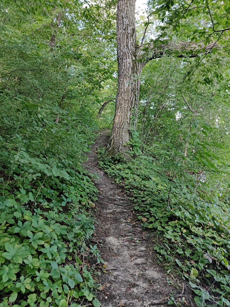
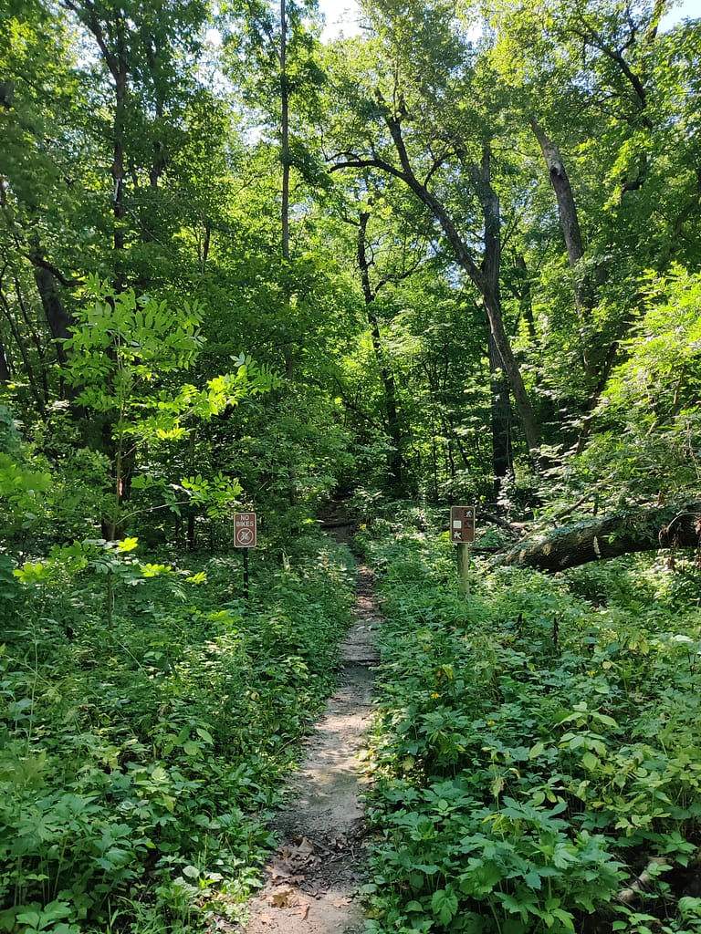
The Wahpekute Loop Trail is about 1.4 miles in length and has around 45 feet of elevation. It took me 48 minutes to complete. It is a mixed trail, with the first half being dirt and the second half being paved.
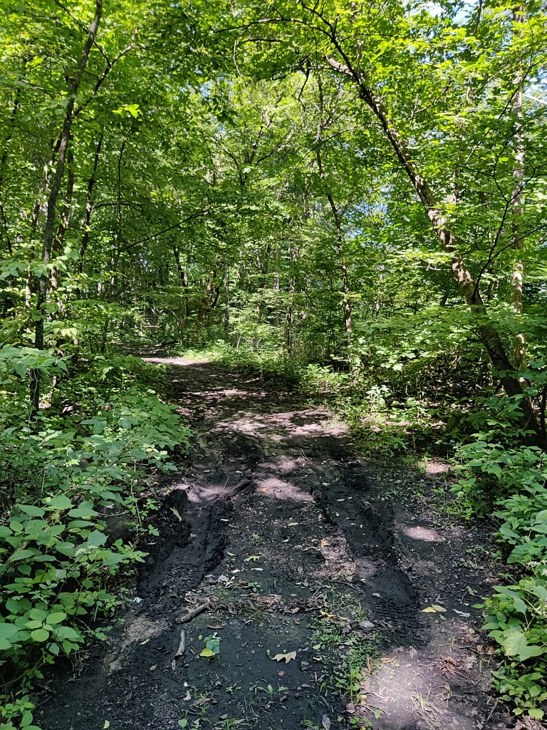
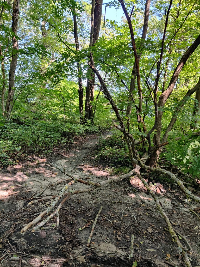
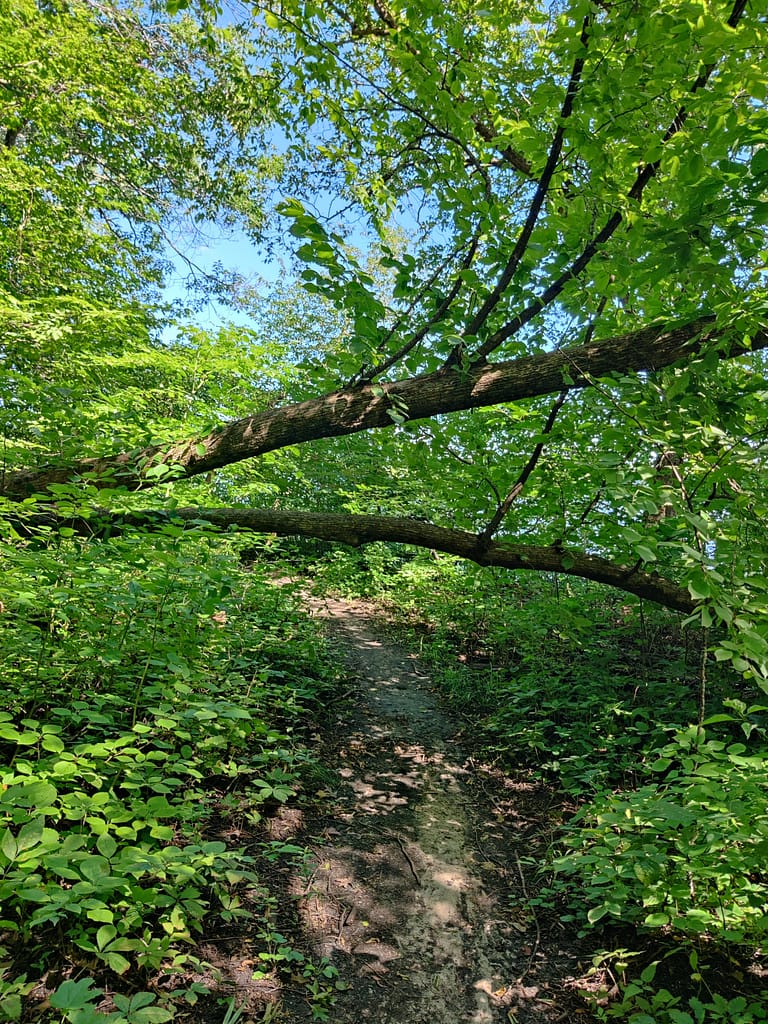
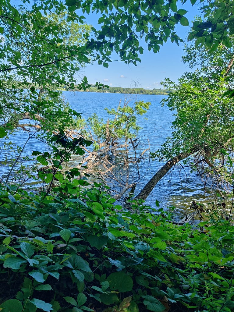
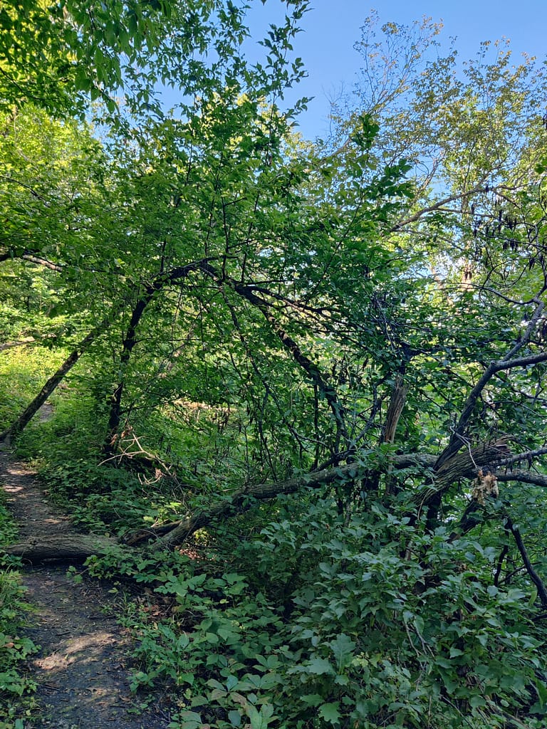
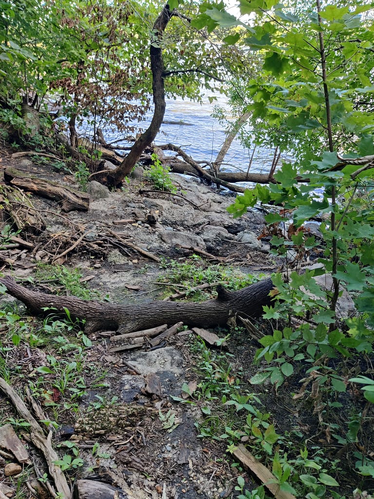
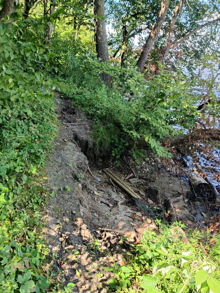
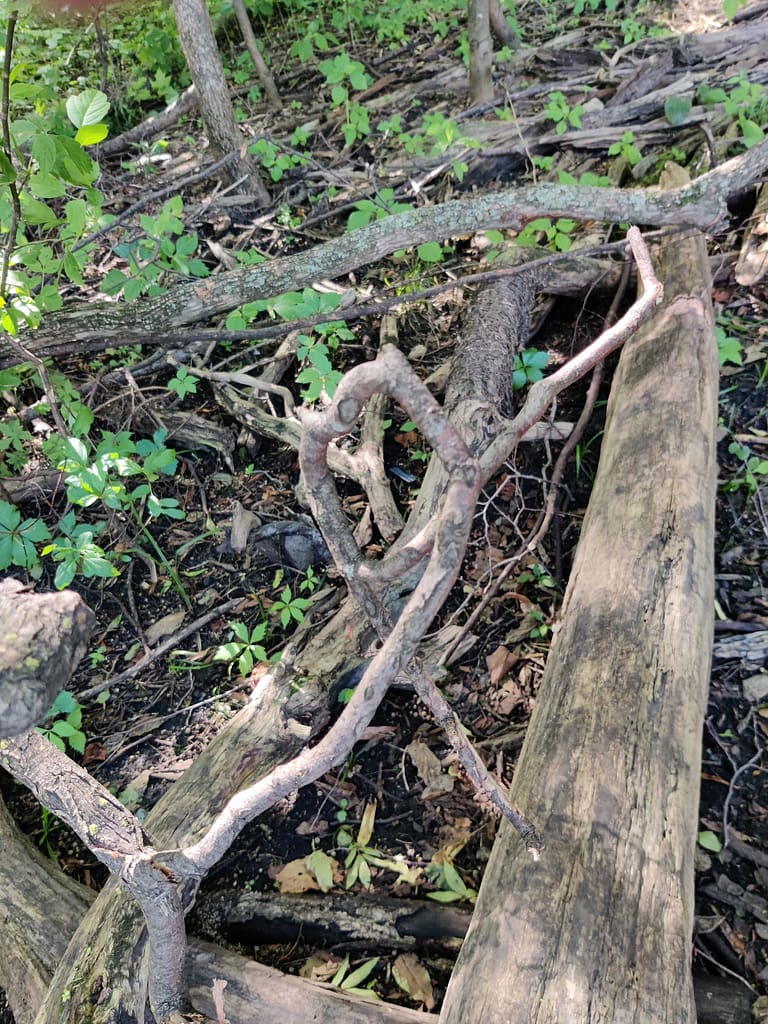
I started on the water side, which is also the dirt portion. The conditions on this part left something to be desired. I am actually surprised it wasn’t closed. Things were muddy, narrow and steep, and there were fallen trees to crawl under, climb over, and maneuver around. I’m able to squat pretty low and have decent lateral movement, so I could manage, but I came close to falling on my butt a time or two.
It reminded me of the situation I got into when I hiked St. Croix. Not great. Only here, part of the trail was washed away and I had to climb up the riverbank to get to the other side. (And yes, I did check the map to make sure I stayed on the trail. No deviations were made). I also managed this okay since they are movements I make everyday, but if you don’t I would skip this portion.
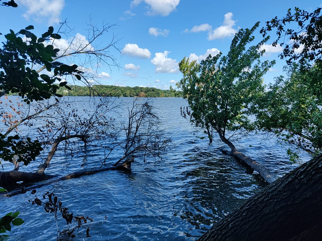
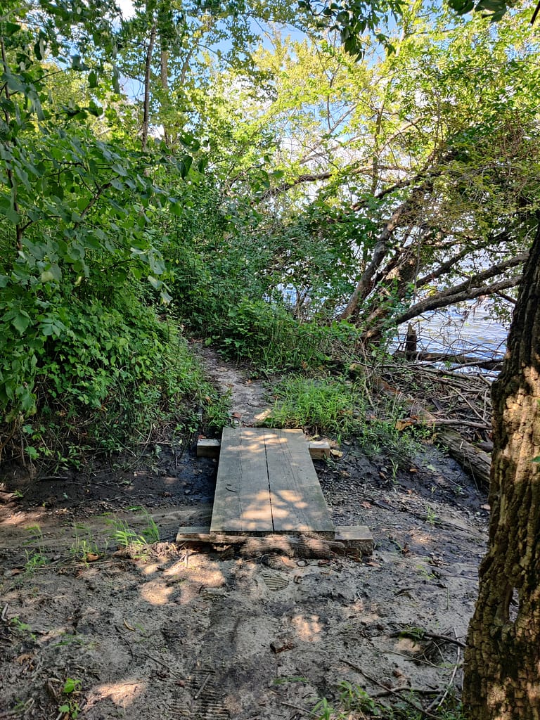
If you’re going to try this part anyways, bring your sticks. It is narrow and scary steep in areas and if you slip you will end up in the river. I almost tapped out, but ended up finding a stick on the trail for assistance. I should probably just bring my hiking sticks even if I don’t anticipate needing them. The poor trail conditions along with the inclines and declines had me short of breath and questioning my decision making skills. However, I chose not to turn around because I didn’t want to go back through what I had just experienced. All of that being said, I found a small beach, which was cool.
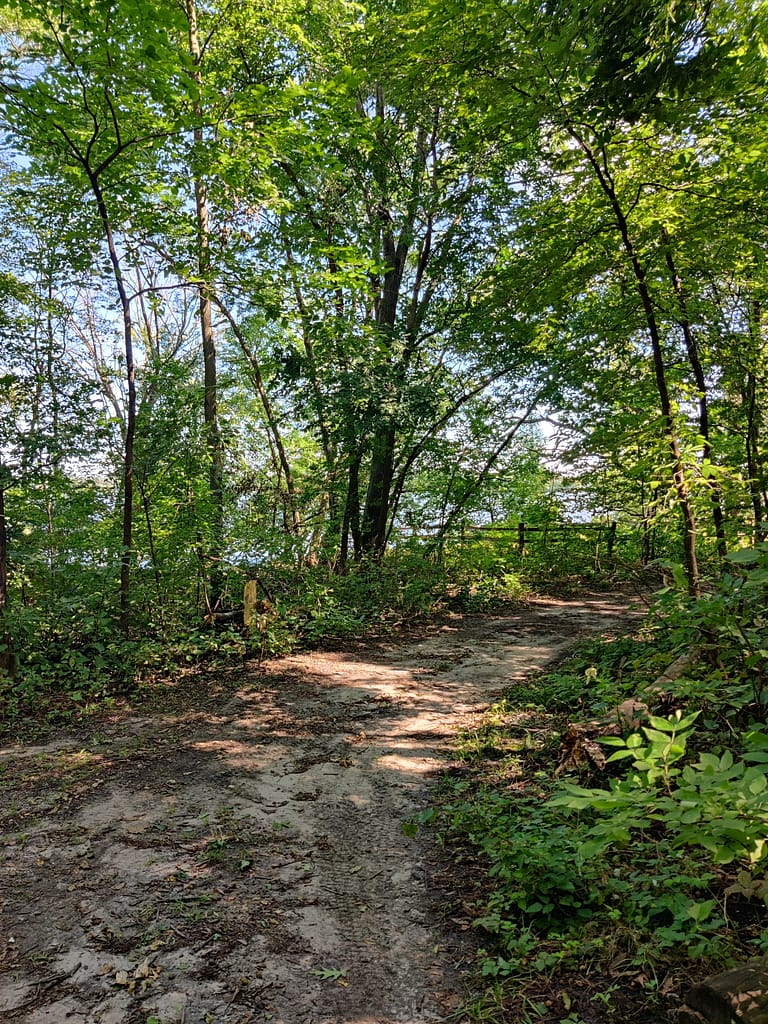
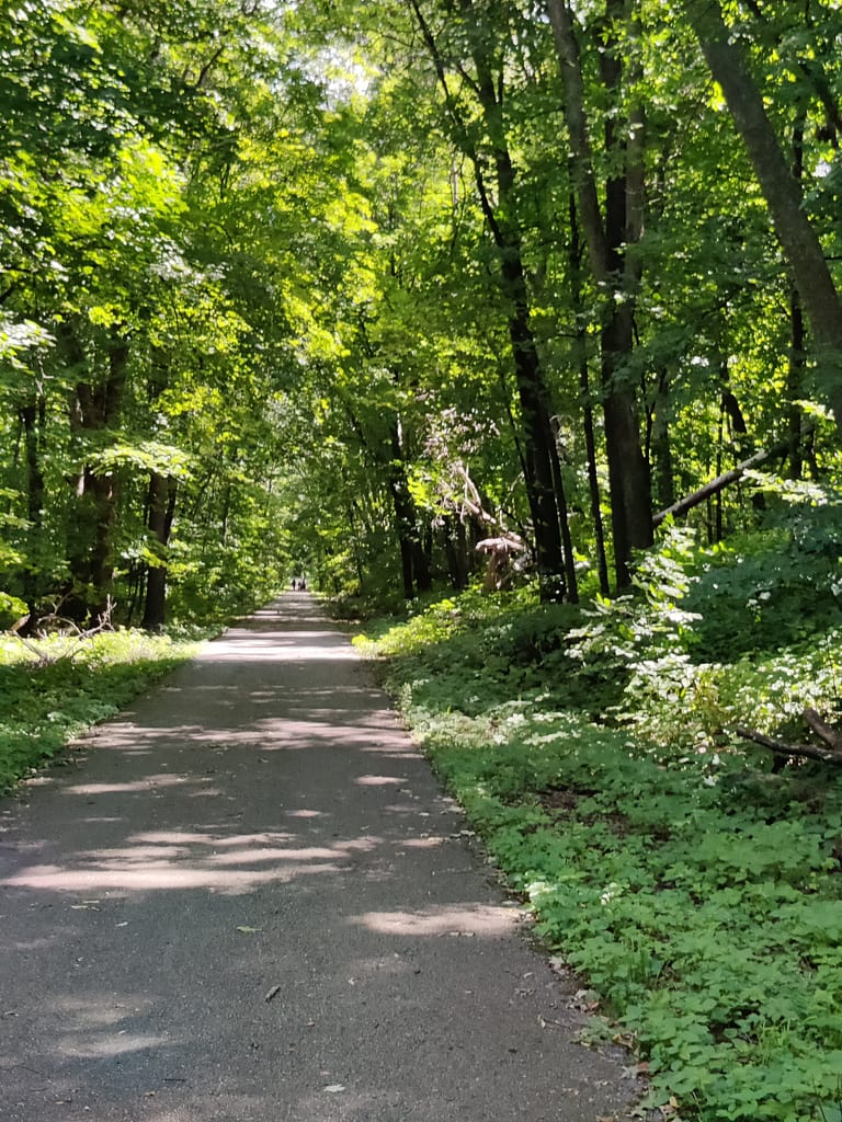
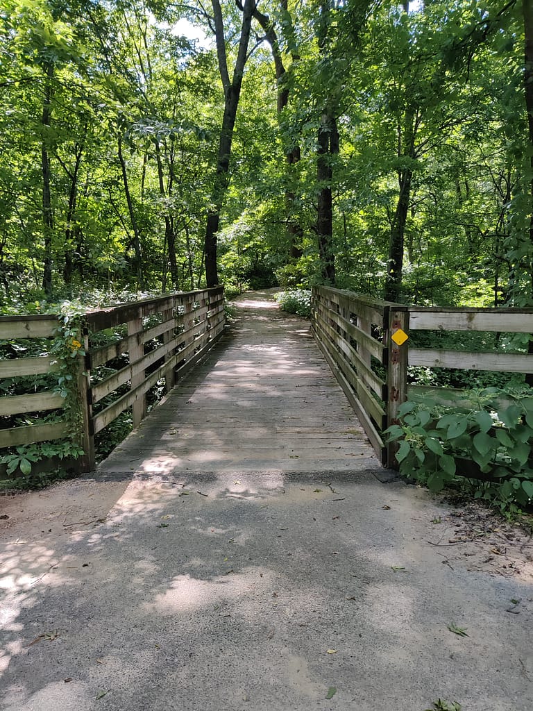
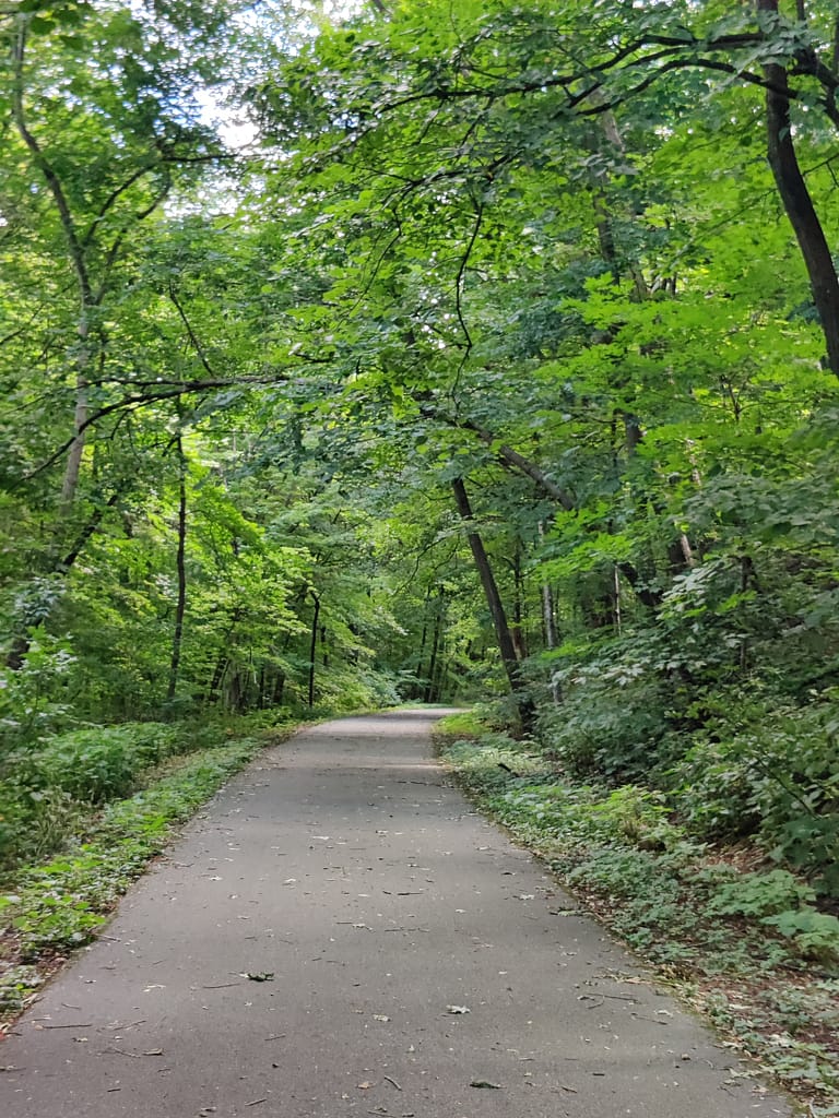
The paved portion of this trail is the Sakatah Singing Trail, which was even and well maintained. It is also a bike trail, so remember your trail etiquette and hopefully they will remember theirs. This part is also well shaded and meets up with the road that leads back to the parking lot and picnic area.
This trail would fall into the hard category on my rating scale. For all of the reasons I listed above, this trail is one that I would prefer not to do again. Unless it’s better maintained, that is.
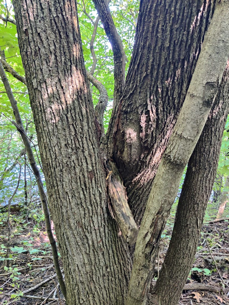
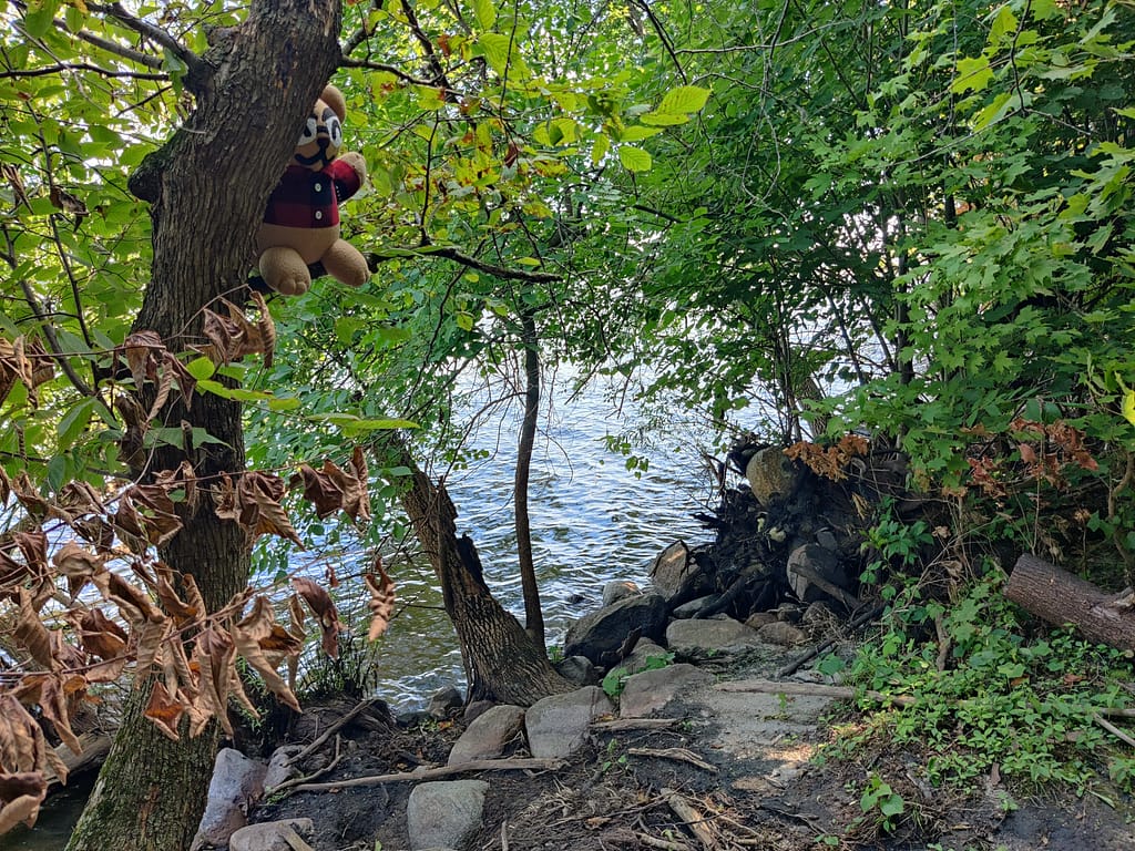
Do you spy Currently Unnamed CardyBear? He was hidden so well I almost couldn’t find him again. If you spot him, put FOUND in the comments 😊
Be safe out there! REMEMBER YOUR MAPS AND PASSPORT STAMPS!! Seeyalaterbye <3
Also, if you feel called to help a sista out with her travels, check this out!